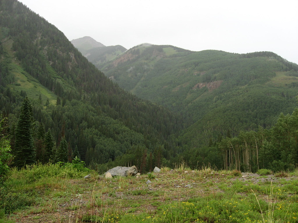
Bermuda Triangle
Bermuda Triangle in Colorado has 18 climbing routes across 9 grades, offering sport and trad options.
- 18 routes
- 5.10 – 5.12d
- Trad · Sport
Is Bermuda Triangle open right now?
Closure in the area
There's a closure order in Grand Mesa, Uncompahgre and Gunnison National Forests. It doesn't name Bermuda Triangle, so check the source for the area it covers (2 listed).
Gold Mountain Wildfire Roads and Trails Closure Order v 4.0
Agency closure covering Grand Mesa, Uncompahgre and Gunnison National Forests · USFS · Grand Mesa, Uncompahgre and Gunnison National Forests
Ophir Pass Road Closure
Agency closure covering Grand Mesa, Uncompahgre and Gunnison National Forests · USFS · Grand Mesa, Uncompahgre and Gunnison National Forests
TERMINATION OF ORDER - FIRE RESTRICTIONS
Agency alert covering Grand Mesa, Uncompahgre and Gunnison National Forests · USFS · Grand Mesa, Uncompahgre and Gunnison National Forests
Dallas Area Closure order
Agency alert covering Grand Mesa, Uncompahgre and Gunnison National Forests · USFS · Grand Mesa, Uncompahgre and Gunnison National Forests
Island Lake Road Closure
Agency alert covering Grand Mesa, Uncompahgre and Gunnison National Forests · USFS · Grand Mesa, Uncompahgre and Gunnison National Forests
As of · Source: USFS · Grand Mesa, Uncompahgre and Gunnison National Forests. Agencies don't list every closure — check before you go.
Best time to visit Bermuda Triangle
No month here meets our mild-weather rule. Best months have typical highs of 55–85 °F, lows of 30 °F or warmer (32 °F where the station doesn't record snow), at most one snowy day and no more than 12 wet days.
Jan
34° / -6°
9 wet
Feb
36° / -3°
9 wet
Mar
43° / 6°
10 wet
Apr
48° / 17°
9 wet
May
58° / 25°
9 wet
Jun
70° / 31°
7 wet
Jul
75° / 38°
13 wet
Aug
72° / 37°
15 wet
Sep
66° / 30°
12 wet
Oct
55° / 20°
9 wet
Nov
43° / 7°
8 wet
Dec
34° / -5°
9 wet
Typical high / low (°F) and days with rain or snow, 1991–2020. Measured at Silverton, CO, 11.4 mi away at 9,285 ft. This station doesn't record snowfall. Source: NOAA NCEI U.S. Climate Normals 1991–2020.
The Bermuda Triangle is a climbing area in the Norwood Ranger District of the Grand Mesa, Uncompahgre and Gunnison National Forests in Colorado, managed by the Forest Service. It sits among several other climbing areas, including Dark Side, The and Wild Westerlies, The, which are both within a quarter mile. Summer is the most comfortable time to visit. Typical averages from the nearby Silverton weather station, at a similar elevation, put July highs around 75°F with lows near 38°F, while winter highs stay in the mid-30s and January lows dip to about -6°F. Other spots close by include Priest Lake Road, a cross-country ski route about a mile away, and Matterhorn campground, also about a mile off. Paddlers can head to Lake Fork, roughly 2 miles away, and the South Fork San Miguel River, about 3 miles away.
Routes (18)
Keep exploring — more climbs worth the drive
 Photo: Ken Lund, CC BY-SA 2.0 (via Flickr)
East Jungle Gym
~1 min drive
East Jungle Gym in Colorado has 6 sport routes across 5 difficulty grades.
Dallas Peak
~12 min drive
Route to the summit of Dallas Peak (13,675 ft) from Mill Creek Trailhead.
Photo: Ken Lund, CC BY-SA 2.0 (via Flickr)Ophir Wall
~1 min drive
Ophir Wall in Colorado has 5 climbing routes ranging across 5 difficulty grades, offering sport and trad styles.
 Photo: Ken Lund, CC BY-SA 2.0 (via Flickr)
Mirror Wall
~1 min drive
Mirror Wall in Colorado has 5 climbing routes with mixed, sport, and trad styles.
Photo: Ken Lund, CC BY-SA 2.0 (via Flickr)The Slabs
~1 min drive
6 traditional climbing routes on slab rock in Colorado.
 Photo: Lars Plougmann, CC BY-SA 2.0 (via Flickr)
Main Wall
~11 min drive
Main Wall in Colorado has 18 mixed and sport climbing routes across 8 grades.
Photo: Lars Plougmann, CC BY-SA 2.0 (via Flickr)Streaked Wall
~11 min drive
Streaked Wall in Colorado has 35 sport climbing routes across 18 grades.
 Photo: Ken Lund, CC BY-SA 2.0 (via Flickr)
The Mine Boulder
~12 min drive
Mine Boulder, The is a bouldering crag in Colorado with 8 routes rated across 6 difficulty grades.
Photo: Ken Lund, CC BY-SA 2.0 (via Flickr)Million Dollar Boulder
~12 min drive
Million Dollar Boulder in Colorado has 5 bouldering routes across 5 grades.
 Photo: Daniel Weber, CC0 (via Flickr)
Pipeline Wall
~12 min drive
Pipeline Wall is a Colorado climbing crag with 22 sport routes.