Primitive Campsite near Ice Lake (San Juan National Forest)
Campground
Campground · 2.7 mi from the trail
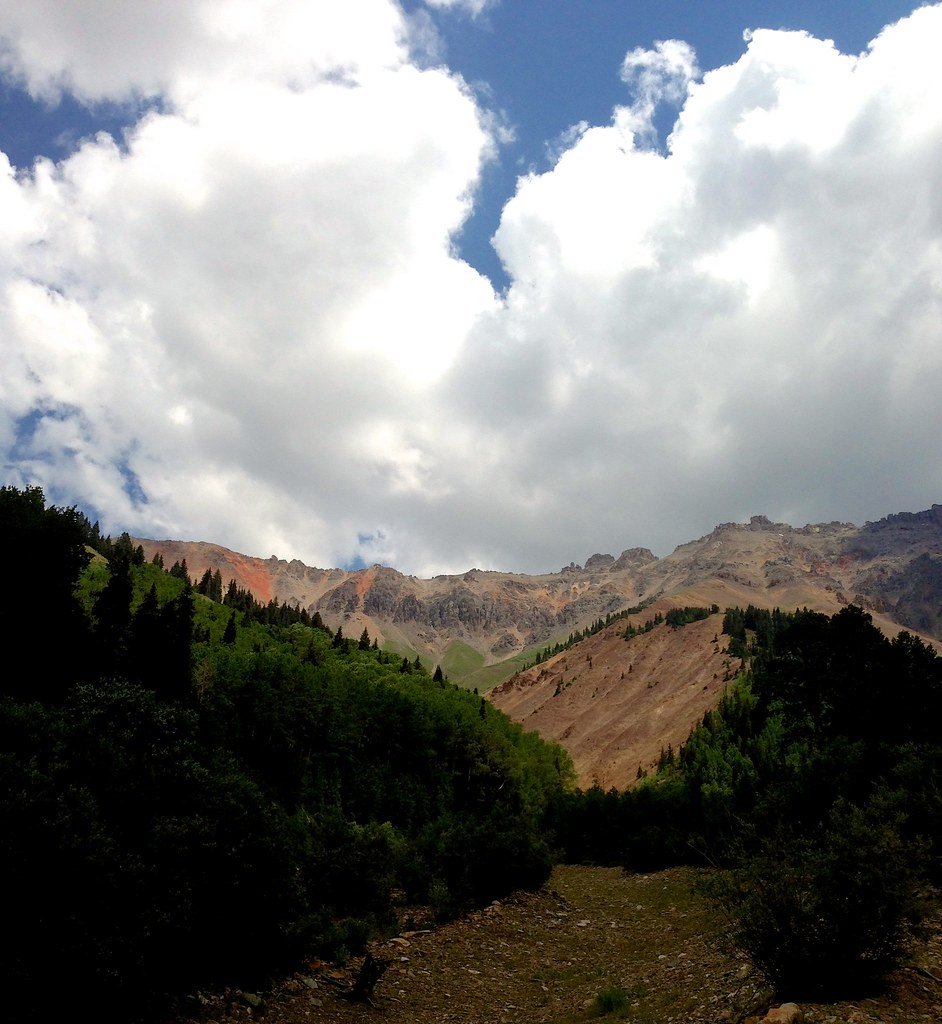 Photo: sdingle, CC BY-SA 2.0 (via Flickr)
Closure in the area
There's a closure order in Grand Mesa, Uncompahgre and Gunnison National Forests. It doesn't name Wasatch Mountain, so check the source for the area it covers (2 listed).
Gold Mountain Wildfire Roads and Trails Closure Order v 4.0
Agency closure covering Grand Mesa, Uncompahgre and Gunnison National Forests · USFS · Grand Mesa, Uncompahgre and Gunnison National Forests
Ophir Pass Road Closure
Agency closure covering Grand Mesa, Uncompahgre and Gunnison National Forests · USFS · Grand Mesa, Uncompahgre and Gunnison National Forests
Potter Basin Road Closure Order
Agency alert covering Grand Mesa, Uncompahgre and Gunnison National Forests · USFS · Grand Mesa, Uncompahgre and Gunnison National Forests
Beaver Park Road Closure Order
Agency alert covering Grand Mesa, Uncompahgre and Gunnison National Forests · USFS · Grand Mesa, Uncompahgre and Gunnison National Forests
TERMINATION OF ORDER - FIRE RESTRICTIONS
Agency alert covering Grand Mesa, Uncompahgre and Gunnison National Forests · USFS · Grand Mesa, Uncompahgre and Gunnison National Forests
As of · Source: USFS · Grand Mesa, Uncompahgre and Gunnison National Forests. Agencies don't list every closure — check before you go.
Wasatch Mountain is a long, steep out-and-back hike in Colorado's Grand Mesa, Uncompahgre and Gunnison National Forests, within the Norwood Ranger District. The Forest Service manages the land. The route covers about 10 miles and gains roughly 6,357 feet, with the high point at 13,540 feet. It is an expert-level climb, and the round trip involves as much descent as ascent. The trip takes about six and a half hours, and the route's high point makes it a significant objective rather than a short outing. Two other routes, Swamp Canyon and Oscar's Peak, sit within a mile of the start, so they can be added to the day or broken into separate trips. For overnight stays, Alta Lakes Camping Area and Ice Lakes Basin are both about 3 miles away. Lake Fork offers canoeing a little farther out.
Primitive Campsite near Ice Lake (San Juan National Forest)
Campground
Little Hawaii Grotto
Attraction
Places © OpenStreetMap contributors, Places © Overture Maps Foundation
More in TellurideNot on Roamze yet. Their page has how to reach them.
Daily highs and lows, wind and the chance of precipitation at the summit and route start for the next 7 days, from the Open-Meteo model.
Swamp CanyonHikingPhoto: sdingle, CC BY-SA 2.0 (via Flickr)0.4 mi Primitive CampingCampingPhoto: John Fowler from Placitas, NM, USA, CC BY 2.0 (via Wikimedia Commons)2.7 mi
 Alta Lakes Camping AreaCampingPhoto: Jeffrey Beall, CC BY 4.0 (via Wikimedia Commons)2.9 mi
Source: Roamze catalog (indexable pages within 10 miles, PostGIS distance)
 Swamp CanyonHiking · ~2 min drivePhoto: John Fowler from Placitas, NM, USA, CC BY 2.0 (via Wikimedia Commons)
 Ice LakeHiking · ~5 min drivePhoto: snowpeak, CC BY 2.0 (via Flickr)Golden HornHiking · ~6 min drivePhoto: snowpeak, CC BY 2.0 (via Flickr)
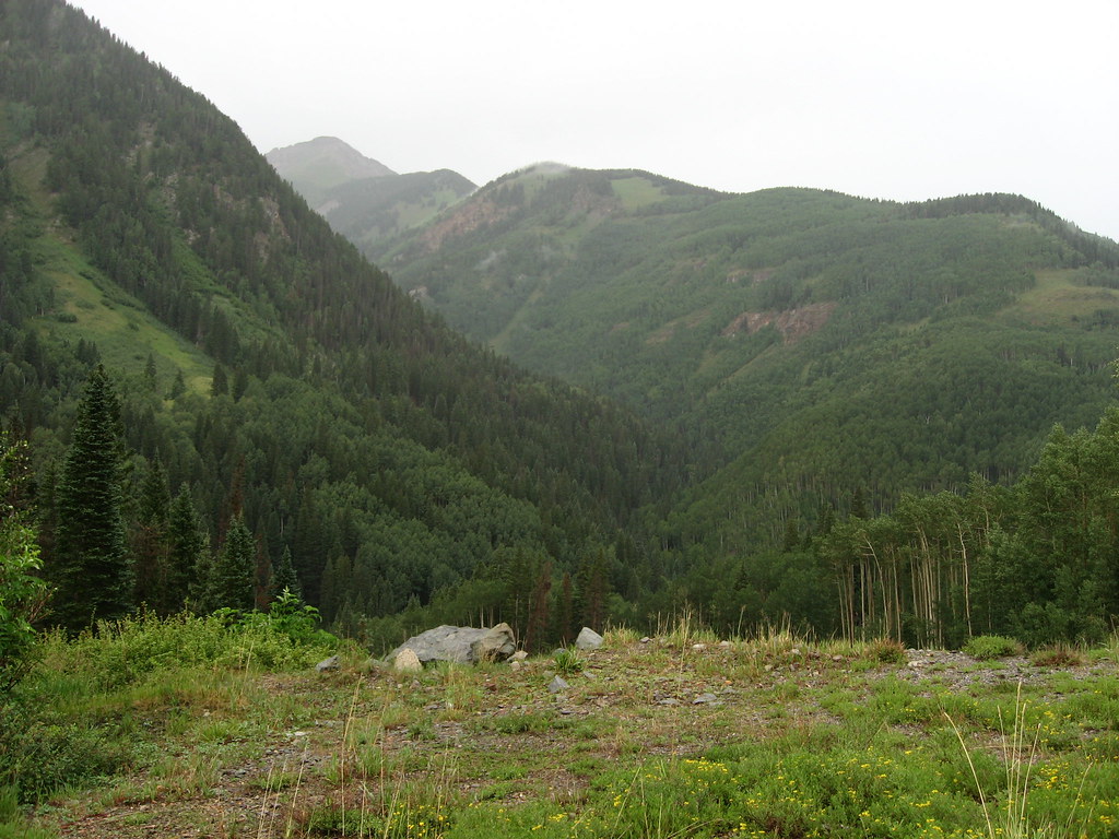 P LAKE SKI MID MEADOW LOOP 2Hiking · ~6 min drivePhoto: Ken Lund, CC BY-SA 2.0 (via Flickr)
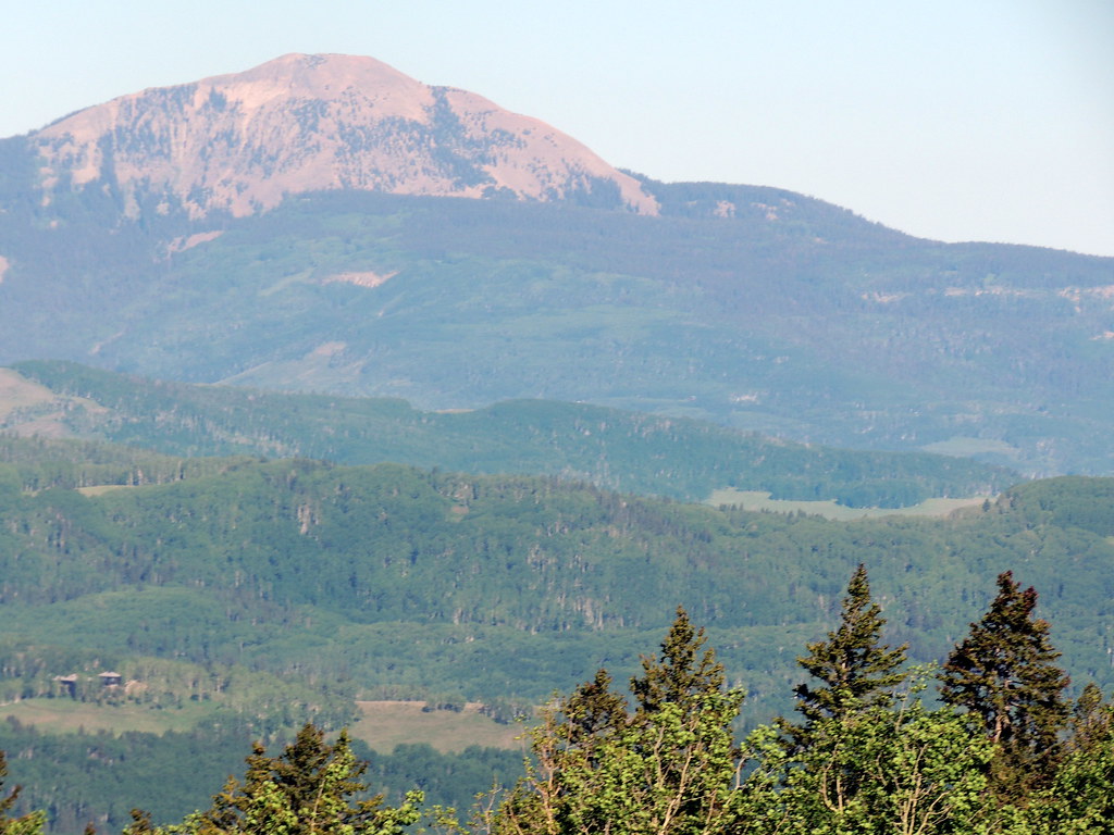 SunshineHiking · ~8 min drivePhoto: dougandme, CC BY 2.0 (via Flickr)
 Three NeedlesHiking · ~8 min drivePhoto: squeaks2569, CC BY-SA 2.0 (via Flickr)Ulysses S Grant PeakHiking · ~6 min drivePhoto: snowpeak, CC BY 2.0 (via Flickr)Magic Meadows LoopHiking · ~7 min drivePhoto: dougandme, CC BY 2.0 (via Flickr)
 Silver LakeHiking · ~8 min drivePhoto: Daniel Weber, Public Domain Dedication (CC0) (via Flickr)
Also worth it near here
 BlixtMountain biking · ~2 min drivePhoto: John Fowler from Placitas, NM, USA, CC BY 2.0 (via Wikimedia Commons)
 Lookout PeakSummit · ~3 min drivePhoto: Larry Lamsa, CC BY 2.0 (via Wikimedia Commons)Primitive Campsite near Ice Lake (San Juan National Forest)Camping · ~5 min drivePhoto: John Fowler from Placitas, NM, USA, CC BY 2.0 (via Wikimedia Commons)
About 10.2 mi round trip from Bridal Veil Basin Trailhead.
About 6,357 ft of climbing round trip.
It is rated expert.
Bridal Veil Basin Trailhead.
© openrouteservice.org by HeiGIT | Map data © OpenStreetMap contributors
