Alta Lakes Camping Area
Campground
Campground · 2.7 mi from the trail
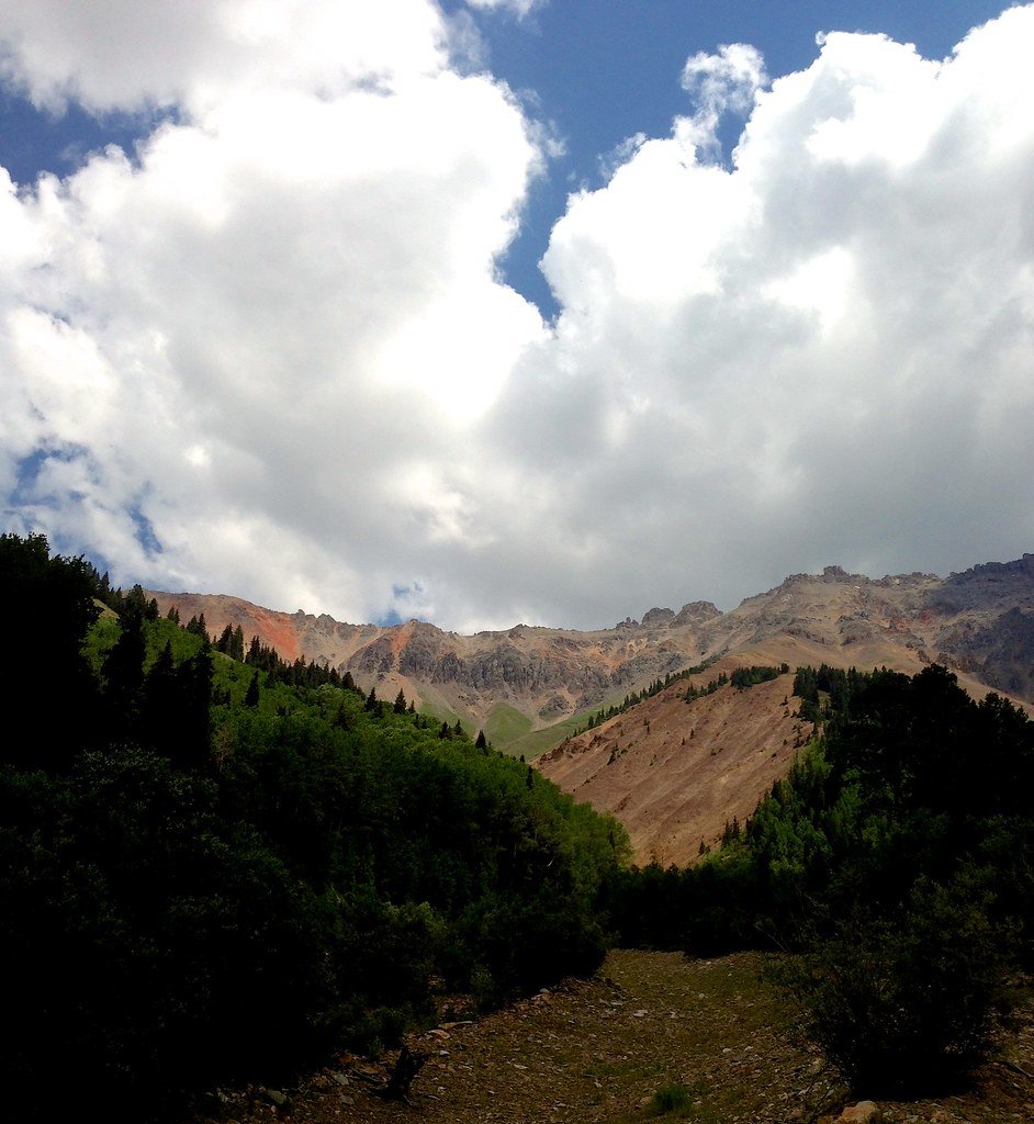 Photo: sdingle, CC BY-SA 2.0 (via Flickr)
Closure in the area
There's a closure order in Grand Mesa, Uncompahgre and Gunnison National Forests. It doesn't name Swamp Canyon, so check the source for the area it covers (2 listed).
Gold Mountain Wildfire Roads and Trails Closure Order v 4.0
Agency closure covering Grand Mesa, Uncompahgre and Gunnison National Forests · USFS · Grand Mesa, Uncompahgre and Gunnison National Forests
Ophir Pass Road Closure
Agency closure covering Grand Mesa, Uncompahgre and Gunnison National Forests · USFS · Grand Mesa, Uncompahgre and Gunnison National Forests
Potter Basin and Beaver Park Roads Emergency Closures
Agency alert covering Grand Mesa, Uncompahgre and Gunnison National Forests · USFS · Grand Mesa, Uncompahgre and Gunnison National Forests
TERMINATION OF ORDER - FIRE RESTRICTIONS
Agency alert covering Grand Mesa, Uncompahgre and Gunnison National Forests · USFS · Grand Mesa, Uncompahgre and Gunnison National Forests
Dallas Area Closure order
Agency alert covering Grand Mesa, Uncompahgre and Gunnison National Forests · USFS · Grand Mesa, Uncompahgre and Gunnison National Forests
As of · Source: USFS · Grand Mesa, Uncompahgre and Gunnison National Forests. Agencies don't list every closure — check before you go.
Swamp Canyon is a hard hike in Colorado's Grand Mesa, Uncompahgre and Gunnison National Forests, within the Norwood Ranger District. The trail is an out-and-back that climbs from about 10,100 feet to about 12,900 feet, with a total elevation gain of 2,758 feet over a distance of about 6.6 miles. The Forest Service manages the land, and the trailhead is named Swamp Canyon Trailhead, with parking at the SWAMP CANYON site. The trail is open year-round, and the route is natural-surfaced. Bikes and horses are both allowed, so the trip works for riders and pack animals as well as hikers. The trail starts close to several other destinations. Wasatch Mountain is about 0.4 miles away and Oscar's Peak about 0.8 miles. Alta Lakes Camping Area and the dispersed camping at Alta Lakes Campground are both about 2.7 miles off.
Alta Lakes Camping Area
Campground
La Marmotte
Restaurant
Little Hawaii Grotto
Attraction
Places © OpenStreetMap contributors
More in TellurideNot on Roamze yet. Their page has how to reach them.
Photo: sdingle, CC BY-SA 2.0 (via Flickr)Wasatch Mountain
Next door
Route to the summit of Wasatch Mountain (13,540 ft) from Bridal Veil Basin Trailhead.
 Photo: John Fowler from Placitas, NM, USA, CC BY 2.0 (via Wikimedia Commons)
Swamp Canyon
~1 min drive
4.0-mile out-and-back trail in Colorado with 1,549 ft elevation gain and loss.
 Photo: snowpeak, CC BY 2.0 (via Flickr)
Ice Lake
~6 min drive
7.49-mile out-and-back trail in Colorado's San Juan National Forest with 2,462 ft gain.
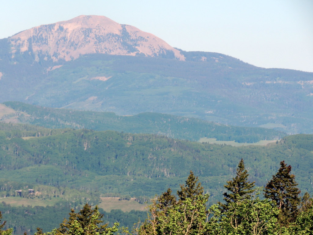 Photo: dougandme, CC BY 2.0 (via Flickr)
Magic Meadows Loop
~7 min drive
0.86-mile out-and-back trail in Colorado with 92 ft of elevation gain.
 Photo: Dave Lyskawa (talk · contribs), Public domain (via Wikimedia Commons)
Vermilion Peak
~9 min drive
Route to the summit of Vermilion Peak (13,819 ft) from Lake Hope Trailhead.
Photo: dougandme, CC BY 2.0 (via Flickr)Sunshine
~8 min drive
3.53-mile out-and-back trail in Colorado with 1,183 ft elevation gain.
 Photo: Daniel Weber, Public Domain Dedication (CC0) (via Flickr)
Silver Lake
~8 min drive
2.01-mile out-and-back trail to Silver Lake in Colorado at 11,789 ft elevation.
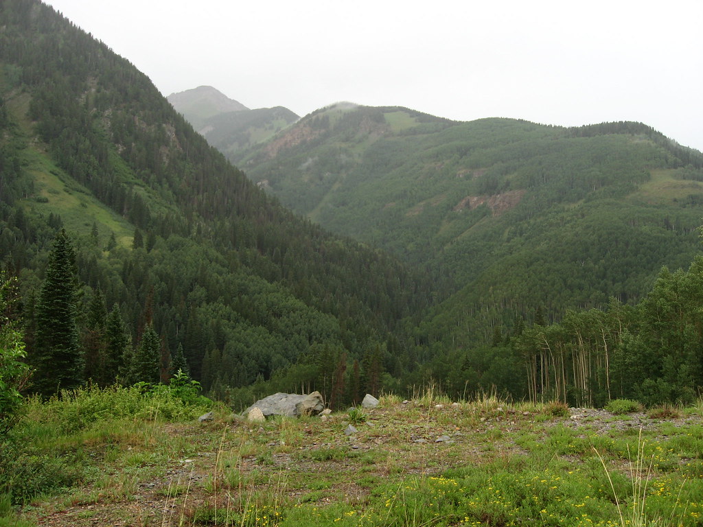 Photo: Ken Lund, CC BY-SA 2.0 (via Flickr)
P LAKE SKI MID MEADOW LOOP 2
~7 min drive
1.1-mile out-and-back trail in Colorado with 431 ft elevation gain.
Photo: snowpeak, CC BY 2.0 (via Flickr)Golden Horn
~7 min drive
Route to the summit of Golden Horn (13,740 ft) from Ice Lakes Trailhead Parking.
HIKE
East Fork Bear Creek
~5 min drive
2.44-mile out-and-back trail in Colorado with 1,089 ft elevation gain.
Also worth it near here


