Notorious B-S.I.D.E Trail
- 1.2 mi
- distance
- 400 ft
- climb
- Easy
- difficulty
- May–Jun, Aug–Sep
- best months
The Notorious B-S.I.D.E Trail is a short, easy hike on Bureau of Land Management land in Colorado's Colorado River Valley Field Office, about 1.2 miles long with a 400-foot elevation gain. It sits within the Colorado River Valley Field Office, and the nearest town is Rifle, about 7 miles away. The most comfortable months for a visit are typically May and September. Typical averages from a nearby weather station in Rifle show May highs around 72°F and September highs around 79°F, while July averages climb to about 88°F. The trail makes an easy pairing with other outdoor options. Middle Wall Street and Upper Wall Street (Turtle Traverse) are both mountain biking routes about 0.1 mile away. Rifle Arch, a climbing area, is about 0.3 mile off, and Sage Campground is about 3.5 miles away for an overnight stay.
Local outfitters
- Hanging Lake Adventure Co-op27 mi away
- Glenwood Canyon Resort29 mi away
Not on Roamze yet. Their page has how to reach them.
- middle wall streetMountain biking0.1 mi
- upper wall street (turtle traverse)Mountain biking0.1 mi
- Rifle ArchRock climbing0.3 mi
- Slab RoutesRock climbing0.4 mi
 Sage CampgroundCampingPhoto: Jeffrey Beall, CC BY 4.0 (via Wikimedia Commons)3.5 mi
- Cedar CampgroundCampingPhoto: Jeffrey Beall, CC BY 4.0 (via Wikimedia Commons)3.7 mi
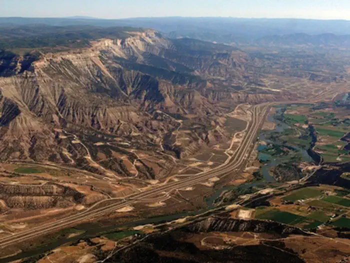 Roan Plateau - JQS Creek CrossRiver fishing3.7 mi
 Rifle CreekCanoeingPhoto: Jeffrey Beall, CC BY 4.0 (via Wikimedia Commons)4.5 mi
Source: Roamze catalog (indexable pages within 10 miles, PostGIS distance)
 Coulter Mesa State TrailHiking · ~11 min drivePhoto: Mike Allbee, CC BY-SA 3.0 (via Wikimedia Commons)
 Gully 3 Climb TrailHiking · ~12 min drivePhoto: joannapoe, CC BY-SA 2.0 (via Flickr)
- W. Elk Stock DrivewayHiking · ~17 min drive
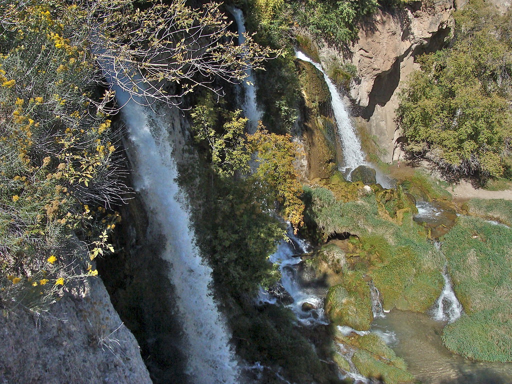 Bobcat TrailHiking · ~13 min drivePhoto: iagoarchangel, CC BY-SA 2.0 (via Flickr)
- Gully 1 Climb TrailHiking · ~12 min drivePhoto: joannapoe, CC BY-SA 2.0 (via Flickr)
- Mansfield DitchHiking · ~19 min drive
- Main ElkHiking · ~23 min drive
- Bonsai LoopHiking · ~12 min drivePhoto: joannapoe, CC BY-SA 2.0 (via Flickr)
- Cherry CreekHiking · ~20 min drive
- West Miller CreekHiking · ~23 min drive
Best time to visit Notorious B-S.I.D.E Trail
Best months: May–June and August–September. Best months have typical highs of 55–85 °F, lows of 30 °F or warmer (32 °F where the station doesn't record snow), at most one snowy day and no more than 12 wet days.
Jan
37° / 10°
8 wet
Feb
42° / 15°
7 wet
Mar
55° / 22°
7 wet
Apr
62° / 28°
9 wet
May
72° / 37°
9 wet
Jun
83° / 45°
6 wet
Jul
88° / 52°
9 wet
Aug
85° / 49°
9 wet
Sep
79° / 41°
8 wet
Oct
64° / 30°
8 wet
Nov
49° / 20°
7 wet
Dec
37° / 11°
8 wet
Typical high / low (°F) and days with rain or snow, 1991–2020. Measured at Rifle 3ene, CO, 7 mi away at 5,469 ft. We don't have this place's elevation, so higher spots nearby can run cooler. This station doesn't record snowfall. Source: NOAA NCEI U.S. Climate Normals 1991–2020.
Map and trail data © OpenStreetMap contributors
