West Miller Creek
- 6.1 mi
- round trip
- 1,112 ft
- climb
- 8,454 ft
- high point
- Out and back
- route
Is West Miller Creek open right now?
Alert in the area
The Forest Service lists 6 alerts for White River National Forest.
FSR 286, Radical Hill, is closed due to washouts and unsafe conditions
Agency alert covering White River National Forest · USFS · White River National Forest
Limited parking at Snowmass Creek Trailhead
Agency alert covering White River National Forest · USFS · White River National Forest
Grizzly Creek Trail Closure
Agency alert covering White River National Forest · Order 2026-02 · USFS · White River National Forest
Ruedi Marina Day Use area Dump Station is CLOSED
Agency alert covering White River National Forest · USFS · White River National Forest
Asbestos safety closure - Camp Hale
Agency alert covering White River National Forest · USFS · White River National Forest
As of · Source: USFS · White River National Forest. Agencies don't list every closure — check before you go.
West Miller Creek is a 6.1-mile out-and-back hike in the Blanco Ranger District of Colorado's White River National Forest. The trail climbs about 1,100 feet from a low point of 7,635 feet to a high of 8,454 feet, and it is rated moderate. The Forest Service manages the land. Hikers, riders and horseback riders can all use the trail, and the surface is natural. The route stays open year-round. The trail's nearest neighbors include Flag Creek, about 1.2 miles away, and T I Cutoff at 1.7 miles. Middle Mountain sits 2.4 miles off, and Miller Creek, a paddling spot, is about 7.6 miles away.
Local outfitters
- Hanging Lake Adventure Co-op33 mi away
- Glenwood Canyon Resort35 mi away
Not on Roamze yet. Their page has how to reach them.
- FLAG CREEKHiking1.2 mi
- T I CUTOFFHiking1.7 mi
- MIDDLE MOUNTAINHiking2.4 mi
- MIDDLE MILLER CREEKHiking3.8 mi
- RED CANYONHiking4.1 mi
- East MillerHiking5.5 mi
- Three ForksHiking6.3 mi
- Miller CreekCanoeing7.6 mi
Source: Roamze catalog (indexable pages within 10 miles, PostGIS distance)
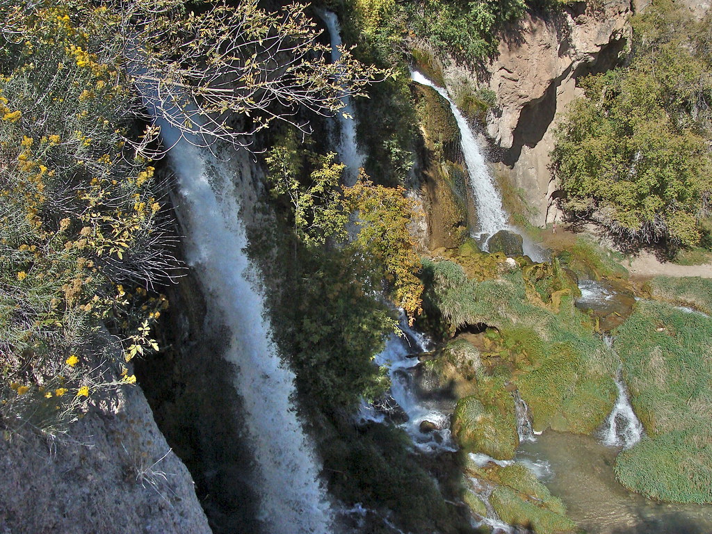 Bobcat TrailHiking · ~21 min drivePhoto: iagoarchangel, CC BY-SA 2.0 (via Flickr)
 Squirrel TrailHiking · ~22 min drivePhoto: Mike Allbee, CC BY-SA 3.0 (via Wikimedia Commons)
- MIDDLE MOUNTAINHiking · ~4 min drive
 Coulter Mesa State TrailHiking · ~24 min drivePhoto: Mike Allbee, CC BY-SA 3.0 (via Wikimedia Commons)
- FLAG CREEKHiking · ~2 min drive
- East MillerHiking · ~9 min drive
- MIDDLE MILLER CREEKHiking · ~6 min drive
- T I CUTOFFHiking · ~3 min drive
- Three ForksHiking · ~11 min drive
- North ElkHiking · ~20 min drive
