Elk Creek Campground
Campground
Campground · 5.3 mi from the trail
Alert in the area
The Forest Service lists 6 alerts for White River National Forest.
FSR 286, Radical Hill, is closed due to washouts and unsafe conditions
Agency alert covering White River National Forest · USFS · White River National Forest
Limited parking at Snowmass Creek Trailhead
Agency alert covering White River National Forest · USFS · White River National Forest
Grizzly Creek Trail Closure
Agency alert covering White River National Forest · Order 2026-02 · USFS · White River National Forest
Ruedi Marina Day Use area Dump Station is CLOSED
Agency alert covering White River National Forest · USFS · White River National Forest
Asbestos safety closure - Camp Hale
Agency alert covering White River National Forest · USFS · White River National Forest
As of · Source: USFS · White River National Forest. Agencies don't list every closure — check before you go.
Main Elk is a moderate out-and-back hike in the Rifle Ranger District of Colorado's White River National Forest, about 4 miles from the Clinetop Trailhead. The trail rises from a low point of 6,196 feet to a high of 7,812 feet, with a total elevation gain of about 1,600 feet. The route is accessible and carries natural surface. Bikes and horses are both allowed, so it works for a range of visitors. Summer is the most comfortable time to go. Typical averages from a nearby weather station at Meeker put July highs around 87°F with lows near 50°F, while September cools to highs in the mid-70s. That station sits roughly 1,400 feet lower than the trail's high point, so temperatures up top run cooler. Climbers will find the West Wall: Pummeling Sector and the Gothodrome and Main Elk Creek climbing areas about 0.2 miles away. Hadley Gulch and Zig Zag are both within a mile.
Elk Creek Campground
Campground
Elk Creek Bar & Grill
Restaurant
Thermal springs in Colorado
Places © OpenStreetMap contributors
More in Glenwood SpringsNot on Roamze yet. Their page has how to reach them.
Best months: May–June and August–September. Best months have typical highs of 55–85 °F, lows of 30 °F or warmer (32 °F where the station doesn't record snow), at most one snowy day and no more than 12 wet days.
Jan
34° / 8°
9 wet
Feb
39° / 13°
10 wet
Mar
50° / 23°
10 wet
Apr
58° / 29°
11 wet
May
69° / 36°
10 wet
Jun
81° / 43°
7 wet
Jul
87° / 50°
9 wet
Aug
85° / 49°
10 wet
Sep
76° / 41°
9 wet
Oct
62° / 30°
8 wet
Nov
47° / 20°
9 wet
Dec
36° / 9°
9 wet
Typical high / low (°F) and days with rain or snow, 1991–2020. Measured at Meeker Ap, CO, 30.7 mi away at 6,390 ft. The station sits about 1,400 ft lower than this place, so expect it a little cooler here. This station doesn't record snowfall. Source: NOAA NCEI U.S. Climate Normals 1991–2020.
 Photo: Mike Allbee, CC BY-SA 3.0 (via Wikimedia Commons)
Squirrel Trail
~12 min drive
0.94-mile loop trail in Colorado with 274 ft gain and 311 ft loss.
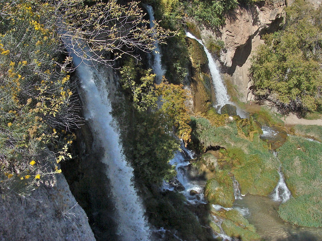 Photo: iagoarchangel, CC BY-SA 2.0 (via Flickr)
Bobcat Trail
~12 min drive
1.74-mile out-and-back trail in Colorado with 788 ft elevation gain
HIKE
Hadley Gulch
~1 min drive
10.38-mile out-and-back trail in Colorado's White River National Forest with 3,308 ft gain
HIKE
Zig Zag
~2 min drive
1.07-mile out-and-back trail in Colorado's White River National Forest with 718 ft gain.
 Photo: Mike Allbee, CC BY-SA 3.0 (via Wikimedia Commons)
Coulter Mesa State Trail
~12 min drive
5.78-mile trail in Colorado with 1,200 ft elevation gain.
HIKE
East Elk Creek
~4 min drive
13.78-mile out-and-back trail in Colorado with 3,322 ft elevation gain.
HIKE
Cut-Off to Mansfield
~7 min drive
0.8-mile out-and-back trail in Colorado with 161 ft of elevation gain.
 Photo: iagoarchangel, CC BY-SA 2.0 (via Flickr)
Storm King Mountain Memorial Trail
~17 min drive
1.97-mile out-and-back hike in Colorado with 1,200 ft of elevation gain.
HIKE
Mansfield Ditch
~5 min drive
19 mi · Hard
HIKE
Clinetop Cow Camp
~7 min drive
6.53-mile out-and-back trail in Colorado's White River National Forest
Also worth it near here


