Rifle Mountain Park
Campground
Campground · 5.7 mi from the trail
Mansfield Ditch is a 19.0-mile out-and-back trail located in Colorado near Colorado, managed by Pike-San Isabel National Forest's San Carlos Ranger District. This trail offers hikers an extended backcountry experience through national forest lands in south-central Colorado. The out-and-back route provides flexibility for hikers to turn back at any point, making it accessible for varying fitness levels and time constraints. Hikers tackling the full distance will cover 38.0 miles round trip. The trail traverses Pike-San Isabel National Forest terrain, which features diverse landscapes typical of Colorado's mountain and foothill regions. Being managed by the San Carlos Ranger District, the trail benefits from Forest Service maintenance and oversight. Before heading out, hikers should check with the ranger district for current trail conditions and any seasonal closures. Water availability, weather patterns, and seasonal considerations are important factors for this longer trail. Visitors should prepare accordingly with adequate supplies and navigation tools. For the most current information about trail conditions and any recent updates, contact the San Carlos Ranger District directly.
Rifle Mountain Park
Campground
Elk Creek Bar & Grill
Restaurant
Thermal springs in Colorado
Places © OpenStreetMap contributors
More in Glenwood SpringsNot on Roamze yet. Their page has how to reach them.
Best months: June–September. Best months have typical highs of 55–85 °F, lows of 30 °F or warmer (32 °F where the station doesn't record snow), at most one snowy day and no more than 12 wet days.
Jan
26° / 6°
Feb
27° / 4°
Mar
34° / 12°
Apr
40° / 17°
May
49° / 27°
Jun
62° / 37°
Jul
68° / 42°
Aug
64° / 40°
Sep
57° / 34°
Oct
45° / 24°
Nov
34° / 14°
Dec
26° / 5°
Typical high / low (°F) and days with rain or snow, 1991–2020. Measured at Bonham Rsvr, CO, 41.6 mi away at 9,852 ft. The station sits about 1,100 ft higher than this place, so expect it a little warmer here. This station doesn't record snowfall. Source: NOAA NCEI U.S. Climate Normals 1991–2020.
 Photo: Mike Allbee, CC BY-SA 3.0 (via Wikimedia Commons)
Squirrel Trail
~7 min drive
0.94-mile loop trail in Colorado with 274 ft gain and 311 ft loss.
 Photo: Mike Allbee, CC BY-SA 3.0 (via Wikimedia Commons)
Coulter Mesa State Trail
~8 min drive
5.78-mile trail in Colorado with 1,200 ft elevation gain.
HIKE
Hadley Gulch
~5 min drive
10.38-mile out-and-back trail in Colorado's White River National Forest with 3,308 ft gain
HIKE
Cut-Off to Mansfield
~5 min drive
0.8-mile out-and-back trail in Colorado with 161 ft of elevation gain.
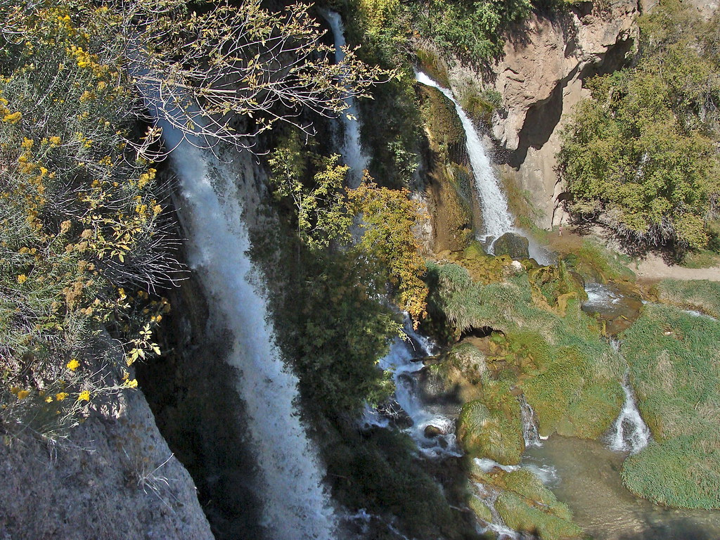 Photo: iagoarchangel, CC BY-SA 2.0 (via Flickr)
Bobcat Trail
~8 min drive
1.74-mile out-and-back trail in Colorado with 788 ft elevation gain
HIKE
Cherry Creek
~7 min drive
11.05-mile out-and-back trail in Colorado with 1,998 ft elevation gain.
HIKE
CHERRY CREEK CONNECTOR
~5 min drive
2.72-mile out-and-back trail in Colorado with 901 ft elevation gain and loss.
 Photo: iagoarchangel, CC BY-SA 2.0 (via Flickr)
Storm King Mountain Memorial Trail
~20 min drive
1.97-mile out-and-back hike in Colorado with 1,200 ft of elevation gain.
HIKE
Last Chance
~8 min drive
21.10-mile out-and-back trail in Colorado's White River National Forest with 1,662 ft elevation gain.
HIKE
Zig Zag
~6 min drive
1.07-mile out-and-back trail in Colorado's White River National Forest with 718 ft gain.

