Mizpah Campground
Campground
Campground · 4.9 mi from the trail
 Photo: kalestews, CC BY 2.0 (via Flickr)
Alert in the area
The Forest Service lists 3 alerts for Arapaho and Roosevelt National Forests.
Fire Restrictions
Agency alert covering Arapaho and Roosevelt National Forests · USFS · Arapaho and Roosevelt National Forests
Slater Lake Area Closure
Agency alert covering Clear Creek Ranger District · Order 02-10-07-26-03 · USFS · Clear Creek Ranger District
Area Closure Surrounding the Devils Nose Target Range
Agency alert covering Clear Creek Ranger District · Order 02-10-07-26-01 · USFS · Clear Creek Ranger District
As of · Source: USFS · Arapaho and Roosevelt National Forests. Agencies don't list every closure — check before you go.
Bard Creek is a hard out-and-back hike of about 19 miles on natural surface in the Clear Creek Ranger District of the Arapaho and Roosevelt National Forests in Colorado. The route runs from a low point of about 10,100 feet to a high of about 12,000 feet, with an elevation gain of roughly 770 feet one way. The trail is managed by the Forest Service and is open from June 1 to September 30. Bikes and horses are both allowed on the route, which makes it a flexible option for riders and pack animals as well as hikers. Watrous Gulch lies just 0.3 miles away, and Mount Parnassus is about 1.3 miles off. For overnight stays, Mizpah Campground is roughly 5 miles away, and West Slabs offers climbing at a similar distance.
Mizpah Campground
Campground
511 Rose
Restaurant
 If it rainsUser:Magicpiano, CC BY-SA 4.0 · Wikimedia Commons
Historic house-museum in Georgetown, Colorado, United States
Places © OpenStreetMap contributors · Photos: User:Magicpiano, CC BY-SA 4.0 (commons)
More in Idaho SpringsPhoto: kalestews, CC BY 2.0 (via Flickr)Watrous Gulch
Next door
4.26-mile out-and-back trail in Colorado with 1,611 ft elevation gain.
Photo: kalestews, CC BY 2.0 (via Flickr)Mount Parnassus
~2 min drive
Route to the summit of Mount Parnassus (13,579 ft) from Herman Gulch Trailhead.
 Photo: glennharper, CC BY-SA 2.0 (via Flickr)
West Ridge Trail
~7 min drive
1.36-mile out-and-back trail in Colorado with 400 ft of elevation gain.
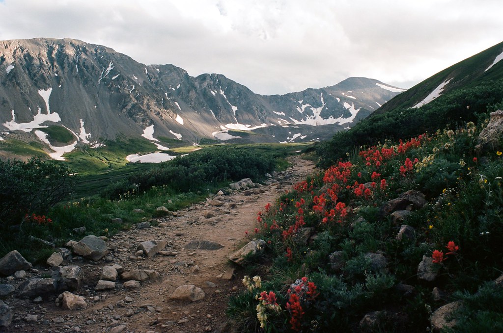 Photo: MCA / Mike Allyn, CC BY 2.0 (via Flickr)
Torreys Peak
~8 min drive
Standard route to Torreys Peak (14,267 ft) from Grays Peak Trailhead (Stevens Gulch).
 Photo: QKC, CC BY-SA 3.0 (via Wikimedia Commons)
Upper lakes to Grays
~11 min drive
1.38-mile out-and-back from Upper lakes to Grays in Colorado
 Photo: roland, CC BY 2.0 (via Flickr)
Kearney Gulch
~3 min drive
3.49-mile out-and-back trail in Colorado with 1,232 ft gain.
 Photo: Kimaz2412, CC BY 2.0 (via Flickr)
Pass Lake
~8 min drive
0.73-mile out-and-back trail to Pass Lake in Colorado's White River National Forest.
Photo: QKC, CC BY-SA 3.0 (via Wikimedia Commons)Mount Edwards
~13 min drive
Route to the summit of Mount Edwards (13,839 ft) from Argentine Pass Trailhead.
Photo: glennharper, CC BY-SA 2.0 (via Flickr)Cupid
~7 min drive
Route to the summit of Cupid (13,117 ft) from Loveland Pass Trailhead.
Photo: MCA / Mike Allyn, CC BY 2.0 (via Flickr)Grays Peak
~8 min drive
Standard route to Grays Peak (14,270 ft) from Grays Peak Trailhead (Stevens Gulch).
Also worth it near here
