
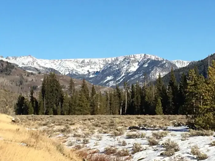
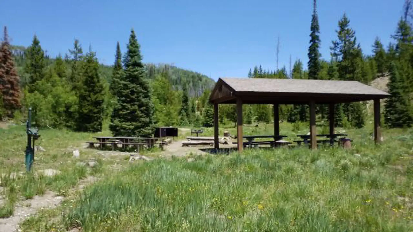
Deer Haven RV Park
Hiking business nearby (~41 mi away) — hasn't claimed their Roamze page yet
Free — you'll pick up right here.
Watch this trail
Sign up to watch it — saving subscribes you to gate, closure and report changes.
Colorado
12.6 mi
Distance
1,615 ft
Gain
We won't guess. Here is exactly what we do and don't know.
What we do know
Inside Medicine Bow-Routt National Forest
3 managing-area boundaries mapped — agency alerts for them feed this page automatically.
Boundary data
What's missing
No access route mapped
We don't yet know which road reaches this trailhead, so we can't tell you if it's gated.
Nobody's filed a report here yet — be the first.
Why you'll love it
Main Fork
AI-suggested draft · review before you go
Main Fork is a 12.2-mile loop trail located in Colorado near the Clear Creek Ranger District of Arapaho-Roosevelt National Forest. The trail offers a full-circuit hiking experience through the national forest, making it suitable for hikers seeking a moderate to longer day hike or backpacking opportunity. The loop configuration allows hikers to complete a round-trip route from a single trailhead without retracing their steps. This trail is managed by the Clear Creek Ranger District, part of the Arapaho-Roosevelt National Forest, ensuring regular maintenance and adherence to federal land management standards. The Main Fork trail provides access to the natural landscape of the Colorado Rockies, with opportunities to experience the forest environment characteristic of the Clear Creek watershed area. The 12.2-mile distance makes this an ambitious day hike or reasonable overnight backpacking trip for most hiking experience levels. For current trail conditions, seasonal closures, and specific trailhead access information, contact the Clear Creek Ranger District directly. Visitors should check local resources before heading out to ensure the trail is open and conditions are suitable for their planned visit.

Trail Creek
~7 min drive
6.6 mi · Hard

Mica Basin
~10 min drive
5.5 mi · Moderate

Bear Lakes
~13 min drive
2.1 mi · Easy

Seven Lakes
~8 min drive
16 mi · Hard

Red Dirt Pass
~11 min drive
4.5 mi · Moderate

Hahns Pk Lake Trail
~25 min drive
2.1 mi · Easy
Gilpin
~10 min drive
12 mi · Hard

South Fork
~18 min drive
5.9 mi · Moderate
Big Creek Lakes Loop
~12 min drive
5.6 mi · Easy

Gold Creek Lake
~11 min drive
14 mi · Hard
Local operatorsoffering guided trips. You book directly with them — Roamze doesn’t take a cut.
Deer Haven RV Park
Hiking business nearby (~41 mi away) — hasn't claimed their Roamze page yet