Mica Basin
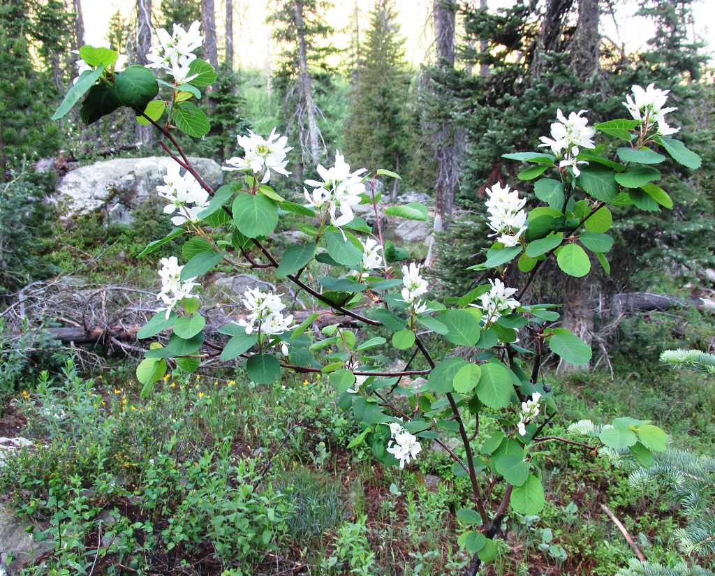 Photo: brewbooks, CC BY-SA 2.0 (via Flickr)
- 5.5 mi
- round trip
- 1,359 ft
- climb
- 10,459 ft
- high point
- Out and back
- route
- Jun–Aug
- best months
Is Mica Basin open right now?
Closure in the area
There's a closure order in Hahns Peak-Bears Ears Ranger District. It doesn't name Mica Basin, so check the source for the area it covers.
Area Closure for the Fishhook Fire - Routt National Forest
Agency closure covering Hahns Peak-Bears Ears Ranger District · Order 02-06-03-26-222 · USFS · Hahns Peak-Bears Ears Ranger District
Access Impact: Big Creek Lakes Dam Project
Agency alert covering Medicine Bow-Routt National Forest · USFS · Medicine Bow-Routt National Forest
Trail & Access Impact: Stillwater Reservoir Project
Agency alert covering Medicine Bow-Routt National Forest · USFS · Medicine Bow-Routt National Forest
Snowy Range - 2026 Active Vegetation Operations
Agency alert covering Medicine Bow-Routt National Forest · USFS · Medicine Bow-Routt National Forest
As of · Source: USFS · Hahns Peak-Bears Ears Ranger District. Agencies don't list every closure — check before you go.
Mica Basin is a 5.5-mile out-and-back hike in Colorado's Mount Zirkel Wilderness, within the Hahns Peak-Bears Ears Ranger District of the Medicine Bow-Routt National Forest. The trail climbs from a low point of 9,087 feet to a high of 10,459 feet, with a total elevation gain of 1,359 feet. The Forest Service manages the land, and the route is natural-surfaced and open year-round. The most comfortable stretch for a visit runs from June through September. Typical averages from a nearby weather station at about 9,000 feet show July highs around 73°F with lows near 40°F, while temperatures at the high point run cooler. Winter is cold, with January highs near 29°F. Horses are allowed, and bikes are not. The Gilpin hike starts just 0.3 miles away, and the Wyoming Trail is about a mile off. For an overnight stay, the Seedhouse Group Site is roughly 2 miles away, and the Mt. Zirkel Wilderness climbing area is about 4.6 miles away.
Local outfitters
- Deer Haven RV Park46 mi away
Not on Roamze yet. Their page has how to reach them.
Best time to go · Jun–Aug
Best time to visit Mica Basin
Best months: June–August. Best months have typical highs of 55–85 °F, lows of 30 °F or warmer (32 °F where the station doesn't record snow), at most one snowy day and no more than 12 wet days.
Jan
29° / 3°
11 wet
Feb
30° / 5°
11 wet
Mar
38° / 12°
10 wet
Apr
45° / 20°
10 wet
May
55° / 27°
9 wet
Jun
67° / 33°
8 wet
Jul
73° / 40°
10 wet
Aug
72° / 38°
11 wet
Sep
64° / 31°
9 wet
Oct
51° / 22°
8 wet
Nov
38° / 12°
10 wet
Dec
30° / 4°
12 wet
Typical high / low (°F) and days with rain or snow, 1991–2020. Measured at Gould 4se Sfsp, CO, 41.5 mi away at 9,000 ft. The station sits about 1,500 ft lower than this place, so expect it a little cooler here. This station doesn't record snowfall. Source: NOAA NCEI U.S. Climate Normals 1991–2020.
Keep exploring — more trails worth the drive
Photo: brewbooks, CC BY-SA 2.0 (via Flickr)Wyoming Trail
~2 min drive
17.71-mile out-and-back trail in Colorado with 2,830 ft gain and 11,148 ft max elevation.
 Photo: brewbooks from near Seattle, USA, CC BY-SA 2.0 (via Wikimedia Commons)
Bear Lakes
~6 min drive
2.13-mile out-and-back trail to Bear Lakes in Colorado with 30 ft of elevation gain.
HIKE
Red Dirt Pass
~5 min drive
4.48-mile out-and-back trail in Colorado's Medicine Bow-Routt National Forest with 1,328 ft gain.
 Photo: brewbooks, CC BY-SA 2.0 (via Flickr)
Gold Creek Lake
~2 min drive
14.26-mile out-and-back trail to Gold Creek Lake in Colorado's Medicine Bow-Routt National Forest.
HIKE
Bighorn Lake Trail
~6 min drive
1.17-mile out-and-back trail in Colorado with 400 ft gain and 10,200 ft max elevation
HIKE
Lone Pine
~9 min drive
7.12-mile out-and-back trail in Colorado with 1,617 ft gain and 10,837 ft max elevation.
 Photo: brewbooks, CC BY-SA 2.0 (via Flickr)
Three Island Lake
~3 min drive
11.40-mile out-and-back hike to Three Island Lake in Colorado's Medicine Bow-Routt National Forest.
HIKE
BIGHORN LAKE
~8 min drive
2.24-mile out-and-back trail to Bighorn Lake in Colorado with 823 ft elevation gain.
HIKE
Ute Pass Trail
~10 min drive
6.68-mile out-and-back hike in Colorado's Medicine Bow-Routt National Forest with 1,929 ft gain.
Photo: brewbooks, CC BY-SA 2.0 (via Flickr)Gilpin
Next door
12.06-mile out-and-back trail in Colorado's Medicine Bow-Routt National Forest with 2,317 ft gain.

