Mill Creek Campground
Campground
Campground · 1.4 mi from the trail
Williams Creek Trail is a 2.8-mile out-and-back hike on Bureau of Land Management land in Colorado's Gunnison Field Office. The trail starts at about 10,440 feet and climbs to 11,579 feet, with a total gain of 1,530 feet for the round trip. That makes it a moderate hike that works as a single outing rather than a long day. The route is rolling, and the steepest stretch comes early, around mile 0.47, where the grade reaches 25%. Because it is a return route, you'll face the same climb on the way back. For an overnight base, Mill Creek Campground sits about 1.4 miles away. The Wager Gulch Memorial Trail is roughly 1.7 miles off, and the Williams Creek trail is about 2 miles away. Lake Fork, a canoeing spot, is about 2.6 miles away.
Mill Creek Campground
Campground
Red Mountain Brewing
Restaurant
Smuggler Union Tramhouse
Attraction
Places © OpenStreetMap contributors
More in TellurideNot on Roamze yet. Their page has how to reach them.
 Henson CreekCanoeingPhoto: Jeffrey Beall, CC BY 4.0 (via Wikimedia Commons)6.9 mi
Source: Roamze catalog (indexable pages within 10 miles, PostGIS distance)
 Coney PointHiking · ~6 min drivePhoto: markbyzewski, CC BY 2.0 (via Flickr)
 Lake To Lake TrailHiking · ~11 min drivePhoto: JustTooLazy, CC BY 2.0 (via Flickr)
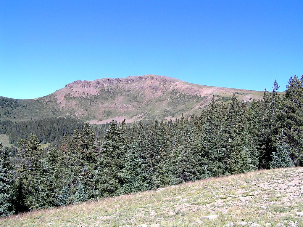 Heart LakeHiking · ~13 min drivePhoto: fringedbenefit, CC BY 2.0 (via Flickr)
 American PeakHiking · ~14 min drivePhoto: WKHarmon, CC BY 2.0 (via Flickr)
 Carson PeakHiking · ~6 min drivePhoto: markbyzewski, CC BY 2.0 (via Flickr)
 Cataract CreekHiking · ~8 min drivePhoto: markbyzewski, CC BY 2.0 (via Flickr)
 Broken HillHiking · ~17 min drivePhoto: John Sowell, CC BY-SA 4.0 (via Wikimedia Commons)
 Mark MountainHiking · ~9 min drivePhoto: kalestews, CC BY 2.0 (via Flickr)
Map and trail data © OpenStreetMap contributors


