Baxter Gulch
- 5.4 mi
- round trip
- 151 ft
- climb
- 10,709 ft
- high point
- Out and back
- route
- Jun–Sep
- best months
Is Baxter Gulch open right now?
Closure in the area
There's a closure order in Grand Mesa, Uncompahgre and Gunnison National Forests. It doesn't name Baxter Gulch, so check the source for the area it covers (2 listed).
Gold Mountain Wildfire Roads and Trails Closure Order v 4.0
Agency closure covering Grand Mesa, Uncompahgre and Gunnison National Forests · USFS · Grand Mesa, Uncompahgre and Gunnison National Forests
Ophir Pass Road Closure
Agency closure covering Grand Mesa, Uncompahgre and Gunnison National Forests · USFS · Grand Mesa, Uncompahgre and Gunnison National Forests
Potter Basin Road Closure Order
Agency alert covering Grand Mesa, Uncompahgre and Gunnison National Forests · USFS · Grand Mesa, Uncompahgre and Gunnison National Forests
Beaver Park Road Closure Order
Agency alert covering Grand Mesa, Uncompahgre and Gunnison National Forests · USFS · Grand Mesa, Uncompahgre and Gunnison National Forests
TERMINATION OF ORDER - FIRE RESTRICTIONS
Agency alert covering Grand Mesa, Uncompahgre and Gunnison National Forests · USFS · Grand Mesa, Uncompahgre and Gunnison National Forests
As of · Source: USFS · Grand Mesa, Uncompahgre and Gunnison National Forests. Agencies don't list every closure — check before you go.
Baxter Gulch is a moderate out-and-back hike in Colorado's Gunnison Ranger District of the Grand Mesa, Uncompahgre and Gunnison National Forests, about 5 miles from the town of Crested Butte. The trail rises from a low point of 9,862 feet to a high of 10,709 feet, with an elevation gain of about 150 feet one way, and is managed by the Forest Service. The route is a short, steady climb, and it is open year-round. July and August bring the mildest conditions, with typical highs around 70 to 72 degrees and lows near 40 to 42 degrees, based on averages from the Taylor Park weather station about 21 miles away. That station sits roughly 1,500 feet lower than the trail's high point, so temperatures on the ridge run cooler. Winter is harsh, with typical January highs near 29 degrees and lows around -8. Bikes and horses are both allowed on the trail. Carbon Trail 436 starts right beside it. Within a few miles you'll also find Baxters mountain biking area, Crested Butte RV Resort for camping and the climbing at The Joint Boulder.
Go with a guide
- Mineral Belt Trail Guided WalkNexPM AI · $25 per person · 48 mi away
- Taylor Park Trading Post24 mi away
- Carbon Trail 436Hiking0.1 mi
- BaxtersMountain biking1.9 mi
- Crested Butte RV ResortCamping3.2 mi
- Splains Gulch Camping AreaCamping4.2 mi
- The Joint BoulderRock climbing4.3 mi
- The Hone StoneRock climbing4.3 mi
 Slate RiverCanoeingPhoto: Jeffrey Beall, CC BY 3.0 (via Wikimedia Commons)4.5 mi
- East RiverCanoeing6.9 mi
Source: Roamze catalog (indexable pages within 10 miles, PostGIS distance)
 Budd TrailHiking · ~7 min drivePhoto: pixellaphoto, Public Domain Dedication (CC0) (via Flickr)
 West Elk PeakHiking · ~8 min drivePhoto: John Sowell, CC BY-SA 4.0 (via Wikimedia Commons)
 Crested Butte Mountain SummitHiking · ~9 min drivePhoto: Larry D. Moore, CC BY 4.0 (via Wikimedia Commons)
 Oh-Be-JoyfulHiking · ~10 min drivePhoto: supercraigtalbert, CC BY 2.0 (via Flickr)
 Upper Upper LoopHiking · ~7 min drivePhoto: Kyle Watson Photography, CC BY-SA 2.0 (via Flickr)
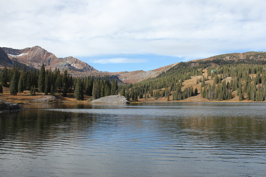 Irwin Lake TrailHiking · ~10 min drivePhoto: Jeffrey Beall, CC BY-SA 2.0 (via Flickr)
 Snodgrass Trail #590Hiking · ~11 min drivePhoto: Alissa Walker, CC BY-SA 2.0 (via Wikimedia Commons)
- Ridge 70Hiking · ~12 min drivePhoto: Jeffrey Beall, CC BY-SA 2.0 (via Flickr)
- Coal Train TrailHiking · ~10 min drivePhoto: supercraigtalbert, CC BY 2.0 (via Flickr)
- Lily LakeHiking · ~6 min drive
Also worth it near here
 Whetstone MountainSummit · ~2 min drivePhoto: John Holm from Leadville, CO, USA, CC BY 2.0 (via Wikimedia Commons)
 Ditch Trail WestCross-country skiing · ~5 min drivePhoto: cogdogblog, CC BY 2.0 (via Wikimedia Commons)
 Woods WalkSki touring · ~6 min drivePhoto: Nick Taylor, CC BY-SA 2.0 (via Wikimedia Commons)
- Lake GrantLake fishing · ~7 min drive
Best time to visit Baxter Gulch
Best months: June–September. Best months have typical highs of 55–85 °F, lows of 30 °F or warmer (32 °F where the station doesn't record snow), at most one snowy day and no more than 12 wet days.
Jan
29° / -8°
8 wet
Feb
33° / -5°
8 wet
Mar
40° / 4°
8 wet
Apr
47° / 18°
8 wet
May
58° / 29°
8 wet
Jun
69° / 36°
7 wet
Jul
72° / 42°
11 wet
Aug
70° / 41°
12 wet
Sep
64° / 34°
9 wet
Oct
54° / 25°
7 wet
Nov
40° / 13°
8 wet
Dec
28° / -4°
8 wet
Typical high / low (°F) and days with rain or snow, 1991–2020. Measured at Taylor Park, CO, 21.3 mi away at 9,179 ft. The station sits about 1,500 ft lower than this place, so expect it a little cooler here. This station doesn't record snowfall. Source: NOAA NCEI U.S. Climate Normals 1991–2020.
