Ouray KOA
Campground
Campground · 3.2 mi from the trail
Caution today
Agency alerts are in effect for this area; weather is marginal · USFS, OpenWeather · checked just now
Closure in the area
There's a closure order in Grand Mesa, Uncompahgre and Gunnison National Forests. It doesn't name Baldy, so check the source for the area it covers (2 listed).
Gold Mountain Wildfire Roads and Trails Closure Order v 4.0
Agency closure covering Grand Mesa, Uncompahgre and Gunnison National Forests · USFS · Grand Mesa, Uncompahgre and Gunnison National Forests
Ophir Pass Road Closure
Agency closure covering Grand Mesa, Uncompahgre and Gunnison National Forests · USFS · Grand Mesa, Uncompahgre and Gunnison National Forests
Potter Basin Road Closure Order
Agency alert covering Grand Mesa, Uncompahgre and Gunnison National Forests · USFS · Grand Mesa, Uncompahgre and Gunnison National Forests
Beaver Park Road Closure Order
Agency alert covering Grand Mesa, Uncompahgre and Gunnison National Forests · USFS · Grand Mesa, Uncompahgre and Gunnison National Forests
TERMINATION OF ORDER - FIRE RESTRICTIONS
Agency alert covering Grand Mesa, Uncompahgre and Gunnison National Forests · USFS · Grand Mesa, Uncompahgre and Gunnison National Forests
As of · Source: USFS · Grand Mesa, Uncompahgre and Gunnison National Forests. Agencies don't list every closure — check before you go.
Baldy is a hard hike in Colorado's Uncompahgre Wilderness, on the Ouray Ranger District of the Grand Mesa, Uncompahgre and Gunnison National Forests. The trail is a loop of about 6.7 miles, with a total elevation gain of 2,539 feet, and it runs from a low point of about 8,592 feet to a high of about 11,355 feet. The Forest Service manages the land, and the Baldy Trailhead is the parking for the route. The trail is natural-surfaced and allows horses, but not bikes. It is not an accessible trail. The open season runs from July 1 to September 15, and the estimated time for the trip is about 3.5 hours. Baldy Peak and Cobbs Gulch are both about 0.4 miles away. Cow Creek, a canoeing spot, is about 2.4 miles off, and Ouray KOA, a campground, is about 3.2 miles away.
Ouray KOA
Campground
Smuggler Union Tramhouse
Attraction
Places © OpenStreetMap contributors
More in TellurideNot on Roamze yet. Their page has how to reach them.
Source: Roamze catalog (indexable pages within 10 miles, PostGIS distance)
 Dexter CreekHiking · ~6 min drivePhoto: iagoarchangel, CC BY-SA 2.0 (via Flickr)Dexter Creek TrailHiking · ~6 min drivePhoto: iagoarchangel, CC BY-SA 2.0 (via Flickr)
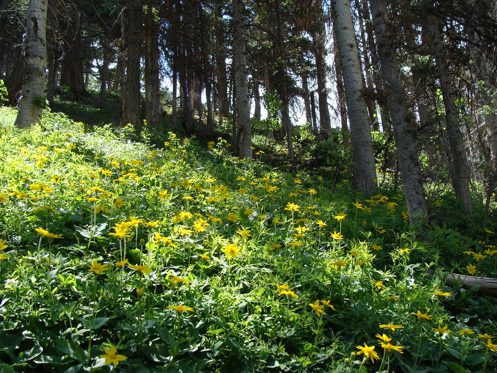 Horsethief TrialHiking · ~7 min drivePhoto: iagoarchangel, CC BY-SA 2.0 (via Flickr)
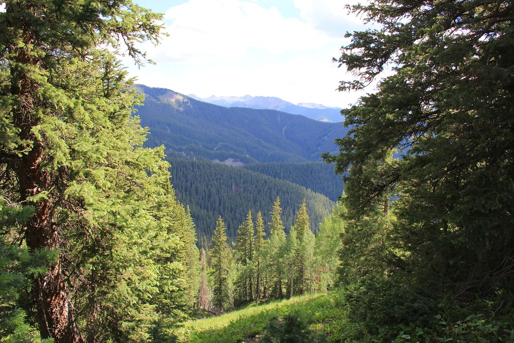 Courthouse MountainHiking · ~9 min drivePhoto: daveynin, CC BY 2.0 (via Flickr)
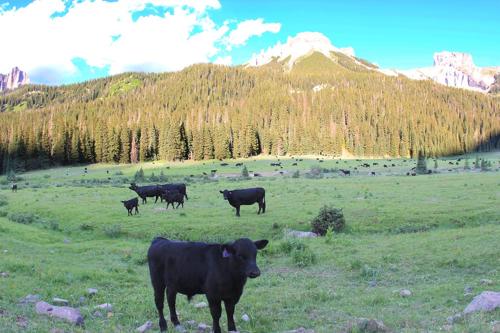 OLD OWL CREEK SPUR BHiking · ~10 min drivePhoto: daveynin, CC BY 2.0 (via Flickr)
 NATE CREEKHiking · ~10 min drivePhoto: daveynin, CC BY 2.0 (via Flickr)Old Owl Creek TrailHiking · ~10 min drivePhoto: daveynin, CC BY 2.0 (via Flickr)
 Upper Cascade Falls TrailHiking · ~11 min drivePhoto: lamblukas, CC BY 2.0 (via Flickr)Lower Cascade Falls TrailHiking · ~10 min drivePhoto: lamblukas, CC BY 2.0 (via Flickr)OWL CREEK PASS SNOHiking · ~11 min drivePhoto: daveynin, CC BY 2.0 (via Flickr)

