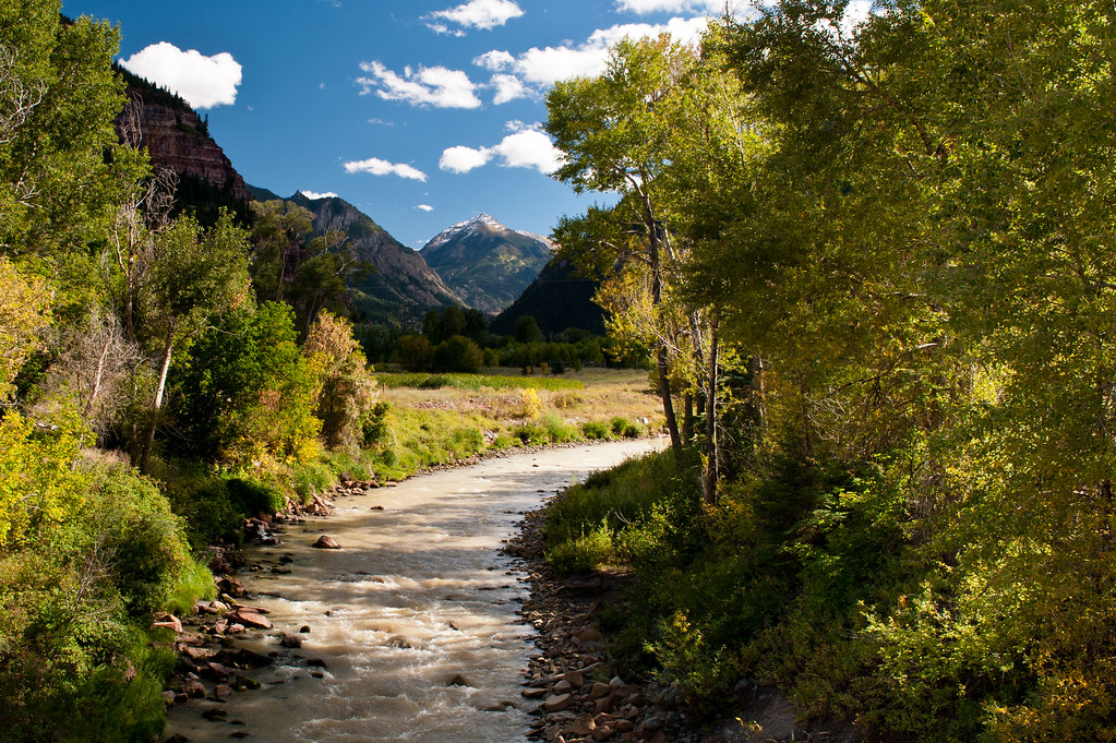
Ouray KOA
Campground
Campground · < 0.1 mi from the trail
Ouray KOA is a campground in Ouray, Colorado, about 0.3 miles from the town of Portland. It sits right in town, making it an easy base for exploring the surrounding area. Summer is the most comfortable time to visit. Typical averages from the nearby Ridgway weather station show July highs around 85°F with lows near 46°F, while winter highs stay around 40°F with lows in the single digits. The Dallas mountain biking area and Dallas Trail #200 are both within about 2 miles. Climbers can head to Ridgway Dike Wall, about 2.4 miles away, and Ouray RV Park offers another camping option about 3.2 miles off.
Ouray KOA
Campground
Smuggler Union Tramhouse
Attraction
Places © OpenStreetMap contributors
More in TellurideNot on Roamze yet. Their page has how to reach them.
Best months: May–September. Best months have typical highs of 55–85 °F, lows of 30 °F or warmer (32 °F where the station doesn't record snow), at most one snowy day and no more than 12 wet days.
Jan
40° / 7°
6 wet
Feb
44° / 12°
6 wet
Mar
52° / 20°
7 wet
Apr
59° / 26°
8 wet
May
70° / 34°
7 wet
Jun
81° / 39°
5 wet
Jul
85° / 46°
10 wet
Aug
82° / 45°
11 wet
Sep
76° / 36°
8 wet
Oct
64° / 26°
6 wet
Nov
51° / 16°
6 wet
Dec
40° / 8°
7 wet
Typical high / low (°F) and days with rain or snow, 1991–2020. Measured at Ridgway, CO, 5.5 mi away at 7,049 ft. This station doesn't record snowfall. Source: NOAA NCEI U.S. Climate Normals 1991–2020.
BED
Amphitheater (co)
~8 min drive
 Photo: jimmy thomas, CC BY-SA 2.0 (via Wikimedia Commons)
Elk Ridge Campground
~16 min drive
Mountain campground in Colorado offering access to ridge-country recreation and wildlife viewing.
 Photo: Tobias from Germany, CC BY 2.0 (via Wikimedia Commons)
Dispersed camp site
~19 min drive
First-come dispersed camping on Colorado public lands with backcountry character.
 Photo: Jeffrey Beall, CC BY 4.0 (via Wikimedia Commons)
Pa-Co-Chu-Puk Campground
~21 min drive
Mountain campground in Colorado offering scenic sites and outdoor recreation access.
 Photo: Sandy Horvath-Dori from Grand Junction, CO, USA, CC BY 2.0 (via Wikimedia Commons)
Secret Campsite
~26 min drive
A secluded Colorado campground offering a quiet retreat in natural surroundings.
 Photo: Jeffrey Beall, CC BY 4.0 (via Wikimedia Commons)
Alta Lakes Camping Area
~27 min drive
BED
Ouray RV park
~5 min drive
RV park in Ouray, Colorado, gateway to San Juan Mountain recreation.
BED
Four J Campground
~7 min drive
Rustic Colorado campground offering access to regional outdoor recreation.
BED
Amphitheater Campground
~8 min drive
BED
Amphitheatre Campground
~8 min drive
Reservable Colorado campground in a scenic amphitheater setting for outdoor recreation.
Also worth it near here
Map and trail data © OpenStreetMap contributors