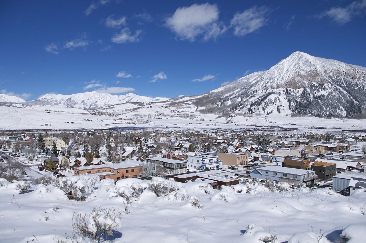
Photo: Jeffrey Beall, CC BY 3.0 (via Wikimedia Commons)
Colorado · Paddling
Paddling in Crested Butte, Colorado
6 spotsUpdated weeklyFree to access
View on mapPaddling · 6 spots
Featured spots




All spots · 6 spots
Keep exploring — more water worth the drive
 Photo: Jeffrey Beall, CC BY-SA 3.0 (via Wikimedia Commons)
North Fork Gunnison River
~34 min drive
North Fork Gunnison River is a 0.1-mile paddling stretch near Somerset, Colorado. It flows year-round. USGS models an average flow of about 273 cfs. Land along it is managed by the state fish and wildlife agency.
Five Mile Access
~26 min drive
A worthwhile stop near Colorado.
Stevens Creek Campground
~46 min drive
A worthwhile stop near Colorado.
One Mile
~28 min drive
A worthwhile stop near Colorado.
 Photo: Jeffrey Beall, CC BY 4.0 (via Wikimedia Commons)
Fryingpan River
~1h 1m drive
Fryingpan River is a 20-mile paddling stretch near Meredith, Colorado. It flows year-round. USGS models an average flow of about 354 cfs and a gradient of about 194.2 feet per mile. Land along it is managed by the U.S. Forest Service.
Spring Creek Reservoir Boating Site
~26 min drive
A worthwhile stop near Colorado.
Lodgepole (Taylor River Canyon near Gunnison, COLORADO)
~34 min drive
A worthwhile stop near Colorado.
Photo: Jeffrey Beall, CC BY 3.0 (via Wikimedia Commons)Slate River
~2 min drive
Slate River is a 23-mile paddling stretch near Crested Butte, Colorado. It flows year-round. USGS models an average flow of about 152 cfs and a gradient of about 82.3 feet per mile.
South Bank Access Boating Site
~28 min drive
A worthwhile stop near Colorado.
 Photo: Jeffrey Beall, CC BY-SA 3.0 (via Wikimedia Commons)
Taylor River
~32 min drive
Taylor River is a 18-mile paddling stretch near Almont, Colorado. It flows year-round. USGS models an average flow of about 111 cfs and a gradient of about 87.4 feet per mile. Land along it is managed by the U.S. Forest Service.
The Slot Boating Site
~34 min drive
A worthwhile stop near Colorado.
 Photo: Jeffrey Beall, CC BY 3.0 (via Wikimedia Commons)
Quartz Creek
~52 min drive
Quartz Creek is a 19-mile paddling stretch near Parlin, Colorado. It flows year-round. USGS models an average flow of about 91 cfs and a gradient of about 76.1 feet per mile. Land along it is managed by the U.S. Forest Service.