One Mile
Campground
Campground · < 0.1 mi from the trail
Closure in the area
There's a closure order in Grand Mesa, Uncompahgre and Gunnison National Forests. It doesn't name One Mile, so check the source for the area it covers (2 listed).
Gold Mountain Wildfire Roads and Trails Closure Order v 4.0
Agency closure covering Grand Mesa, Uncompahgre and Gunnison National Forests · USFS · Grand Mesa, Uncompahgre and Gunnison National Forests
Ophir Pass Road Closure
Agency closure covering Grand Mesa, Uncompahgre and Gunnison National Forests · USFS · Grand Mesa, Uncompahgre and Gunnison National Forests
Potter Basin Road Closure Order
Agency alert covering Grand Mesa, Uncompahgre and Gunnison National Forests · USFS · Grand Mesa, Uncompahgre and Gunnison National Forests
Beaver Park Road Closure Order
Agency alert covering Grand Mesa, Uncompahgre and Gunnison National Forests · USFS · Grand Mesa, Uncompahgre and Gunnison National Forests
TERMINATION OF ORDER - FIRE RESTRICTIONS
Agency alert covering Grand Mesa, Uncompahgre and Gunnison National Forests · USFS · Grand Mesa, Uncompahgre and Gunnison National Forests
As of · Source: USFS · Grand Mesa, Uncompahgre and Gunnison National Forests. Agencies don't list every closure — check before you go.
Overview One Mile Campground is located 18 miles from Gunnison, CO in the Taylor River Canyon. Visitors enjoy the area for its rafting, fishing and trail opportunities. Recreation The Taylor River can be accessed from the campground, and offers a calm stretch for rafting and kayaking. Anglers cast for rainbow and brook trout. The Fossil Ridge Wilderness Area is nearby. The Summerville and South Lottis trailheads provide access to the scenic, natural area. A number of off-road trails are found in the surrounding area, including Doctor Park Trail, Taylor River Trail and Taylor Vista Trail. Facilities The campground offers single-family campsites, all of which have electric hookups. Several sites are also accessible. Each site is equipped with a picnic table and campfire ring. Vault toilets are available but currently there is no drinking water. Please bring your own water or fill up at Lottis Creek Campground. Natural Features The campground lies on the banks of the Taylor River, at an elevation of 8,600 feet. Most sites are shaded by a stand of lodgepole pine and aspen trees. Summer temperatures are warm in the day and cool at night. Nearby Attractions Taylor Park Reservoir is approximately 13 miles from the campground, offering boating, fishing and swimming opportunities. A boat ramp and boat rentals are available there as well. Contact Info For facility specific information, please call (928) 537-8888.
One Mile
Campground
Places © OpenStreetMap contributors
More in PitkinNot on Roamze yet. Their page has how to reach them.
 Quartz CreekCanoeing · ~24 min drivePhoto: Jeffrey Beall, CC BY 3.0 (via Wikimedia Commons)
 Slate RiverCanoeing · ~29 min drivePhoto: Jeffrey Beall, CC BY 3.0 (via Wikimedia Commons)
 Taylor RiverCanoeing · ~29 min drivePhoto: Jeffrey Beall, CC BY-SA 3.0 (via Wikimedia Commons)
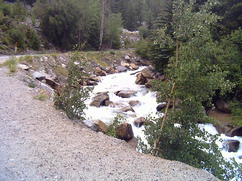 Chalk CreekCanoeing · ~48 min drivePhoto: LanceBarber, CC BY-SA 3.0 (via Wikimedia Commons)
Best months: June–September. Best months have typical highs of 55–85 °F, lows of 30 °F or warmer (32 °F where the station doesn't record snow), at most one snowy day and no more than 12 wet days.
Jan
29° / -8°
8 wet
Feb
33° / -5°
8 wet
Mar
40° / 4°
8 wet
Apr
47° / 18°
8 wet
May
58° / 29°
8 wet
Jun
69° / 36°
7 wet
Jul
72° / 42°
11 wet
Aug
70° / 41°
12 wet
Sep
64° / 34°
9 wet
Oct
54° / 25°
7 wet
Nov
40° / 13°
8 wet
Dec
28° / -4°
8 wet
Typical high / low (°F) and days with rain or snow, 1991–2020. Measured at Taylor Park, CO, 10.3 mi away at 9,179 ft. The station sits about 800 ft higher than this place, so expect it a little warmer here. This station doesn't record snowfall. Source: NOAA NCEI U.S. Climate Normals 1991–2020.
