Photo: Jeffrey Beall, CC BY 4.0 (via Wikimedia Commons)
Paddling · 8 spots
Featured spots



All spots · 8 spots


Keep exploring — more water worth the drive
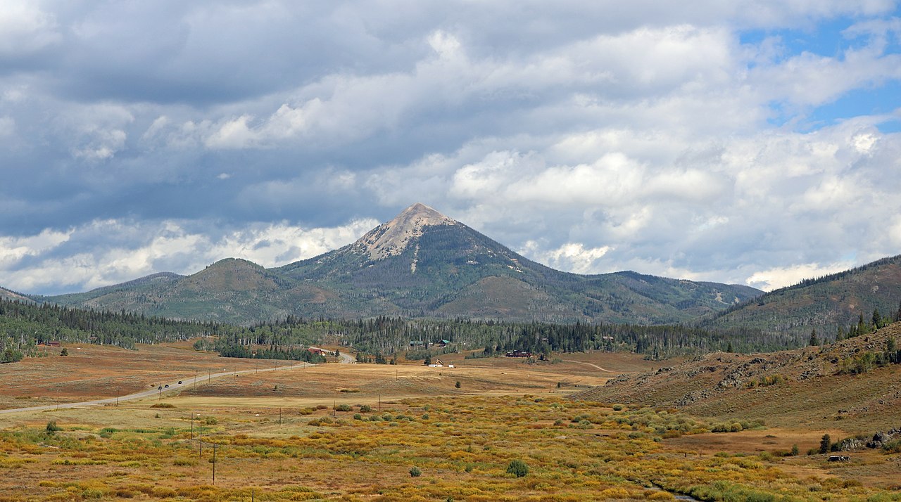
Photo: Jeffrey Beall, CC BY 4.0 (via Wikimedia Commons)South Fork Elk River
~20 min drive
South Fork Elk River is a 13-mile paddling stretch near Clark, Colorado. It flows year-round. USGS models an average flow of about 77 cfs and a gradient of about 185.5 feet per mile. Land along it is managed by the U.S. Forest Service.
Lake View Picnic Site Boating Site
~23 min drive
A worthwhile stop near Wyoming.
Seedhouse Campground
~17 min drive
A worthwhile stop near Colorado.
Willow Creek
~5 min drive
Willow Creek is a 14-mile paddling stretch near Clark, Colorado. It flows year-round. USGS models an average flow of about 100 cfs and a gradient of about 88.5 feet per mile. Land along it is managed by the state fish and wildlife agency.
Routt Access Trailhead
~55 min drive
A worthwhile stop near Colorado.
King Solomon Creek
~8 min drive
King Solomon Creek is a 14-mile paddling stretch near Clark, Colorado. It flows year-round. USGS models an average flow of about 65 cfs and a gradient of about 156.8 feet per mile. Land along it is managed by the U.S. Forest Service.
Middle Fork Little Snake River
~13 min drive
Middle Fork Little Snake River is a 16-mile paddling stretch near Clark, Colorado. It flows year-round. USGS models an average flow of about 200 cfs and a gradient of about 116.2 feet per mile. Land along it is managed by the U.S. Forest Service.
North Fork Elk Creek
~16 min drive
North Fork Elk Creek is a 11-mile paddling stretch near Clark, Colorado. It flows year-round. USGS models an average flow of about 95 cfs and a gradient of about 98.6 feet per mile. Land along it is managed by the U.S. Forest Service.
South Fork Little Snake River
~17 min drive
South Fork Little Snake River is a 16-mile paddling stretch near Clark, Colorado. It flows year-round. USGS models an average flow of about 45 cfs and a gradient of about 86.7 feet per mile. Land along it is managed by the Bureau of Land Management.
West Fork Encampment River
~19 min drive
West Fork Encampment River is a 9.2-mile paddling stretch near Cowdrey, Colorado. It flows year-round. USGS models an average flow of about 35 cfs and a gradient of about 146.2 feet per mile. Land along it is managed by the U.S. Forest Service.
Encampment River
~21 min drive
Encampment River is a 17-mile paddling stretch near Cowdrey, Colorado. It flows year-round. USGS models an average flow of about 153 cfs and a gradient of about 78.6 feet per mile. Land along it is managed by the U.S. Forest Service.
Big Creek
~23 min drive
Big Creek is a 20-mile paddling stretch near Clark, Colorado. It flows year-round. USGS models an average flow of about 78 cfs and a gradient of about 197.9 feet per mile. Land along it is managed by the U.S. Forest Service.
Also worth it near here