Free — you'll pick up right here.
Watch this trail
Sign up to watch it — saving subscribes you to gate, closure and report changes.
California
X-country route to Rogers Peak
0.3 mi
Distance
338 ft
Gain
16 min
Time
No verdict for this trail
We won't guess. Here is exactly what we do and don't know.
What we do know
Inside Death Valley National Park
2 managing-area boundaries mapped — agency alerts for them feed this page automatically.
Boundary data
What's missing
No access route mapped
We don't yet know which road reaches this trailhead, so we can't tell you if it's gated.
Nobody's filed a report here yet — be the first.
Why you'll love it
Here's your day, mapped
X-country route to Rogers Peak
AI-suggested draft · review before you go
Meals
Gear for the day
Elevation & route
- Distance
- 0.3 mi
- Elevation gain
- 338 ft
- Elevation loss
- 338 ft
- Highest point
- 9,924 ft
- Lowest point
- 9,641 ft
Photos
Directions & GPX
Permits & access
- Managing agency
- National Park Service
About this trail
X-country route to Rogers Peak is a short out-and-back trail in California covering 0.6 miles with 338 feet of elevation gain. The route reaches a maximum elevation of 9,924 feet.
Add to a trip & share
Keep exploring — more trails worth the drive
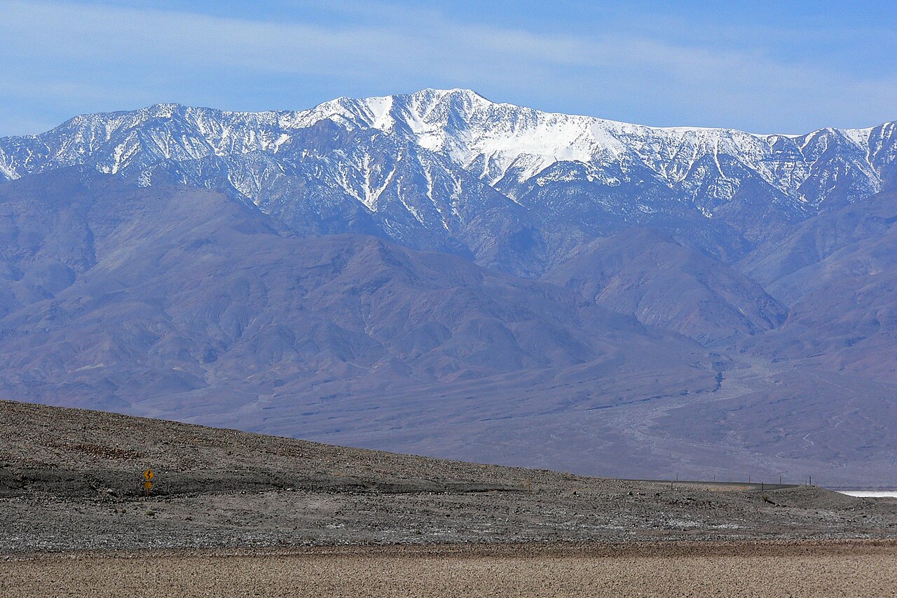
 Photo: Greg Willis from Denver, CO, usa, CC BY-SA 2.0 (via Wikimedia Commons)
Wildrose Peak
~4 min drive
Piñon pines, peaks, and panoramas in the Panamints! Many hikers choose Wildrose Peak over Telescope Peak, daunted by Telescope’s additional elevation gain and mileage. However, if you are looking for an easier hike, don’t be fooled; Wildrose is quite the challenge! This stren…
Natural Bridge
~32 min drive
Natural Bridge is a stunning geologic formation tucked back in a Death Valley canyon. This is an excellent short hike for families, geology lovers, and those who simply enjoy getting out and exploring. Although there is no official trail, a walk straight up the wash from the…
 Photo: Greg Willis from Denver, CO, usa, CC BY-SA 2.0 (via Wikimedia Commons)
Gower Gulch Trail
~33 min drive
4.12-mile out-and-back trail in California with 1,323 ft elevation gain/loss
Hummingbird Spring
~3 min drive
1.78-mile out-and-back trail in California with 872 ft of elevation gain.
Fish Canyon Escape Trail
~39 min drive
16.4-mile out-and-back trail in California with 3,306 ft elevation gain
Telescope Peak
~5 min drive
The views from Telescope Peak are unsurpassed; to the east the swirling salt flats of Death Valley, and to the west the towering Sierra Nevada Mountains. At 11, 049 ft (3368 m), Telescope Peak is the tallest mountain in Death Valley National Park. This dramatic change in elev…
Desolation Canyon
~33 min drive
Colorful canyon walls and mud-cracked earth beckon those searching for an off-trail adventure. This spectacular canyon is less frequently explored than other areas of the park, and offers a challenging hike with incredible scenery. Upon entering the canyon, visitors find them…
 Photo: Greg Schechter from San Francisco, USA, CC BY 2.0 (via Wikimedia Commons)
Funeral Canyon hiking route
~37 min drive
6.9-mile out-and-back trail in California with 1,716 ft elevation gain
Jail Canyon to Hall Canyon
~10 min drive
10.2-mile out-and-back from Jail Canyon to Hall Canyon in California.
Surprise Canyon hiking route
~15 min drive
10.56-mile out-and-back in California with 4,221 ft gain/loss

Map and trail data © OpenStreetMap contributors
