Surprise Canyon hiking route
 Photo: Roebot, CC BY-SA 2.0 (via Flickr)
- 5.3 mi
- round trip
- 4,221 ft
- climb
- 6,307 ft
- high point
- Out and back
- route
Surprise Canyon is a hard, out-and-back hiking route on Bureau of Land Management land in California's Ridgecrest Field Office. The trail starts at the Surprise Canyon Trailhead and climbs to about 6,300 feet, with a total gain of 4,221 feet over a round trip of 10.6 miles. The route rises from a low point of 2,656 feet, and the steepest stretch comes at about 1.8 miles in, where the grade reaches 30 percent. The estimated time is about 5.5 hours. That makes it a demanding day hike, best suited for a full day on the trail rather than a shorter outing. Telescope Peak lies about 6 miles away, and the X-country route to Rogers Peak and the Hanaupah Canyon hiking route are both within about 9 miles.
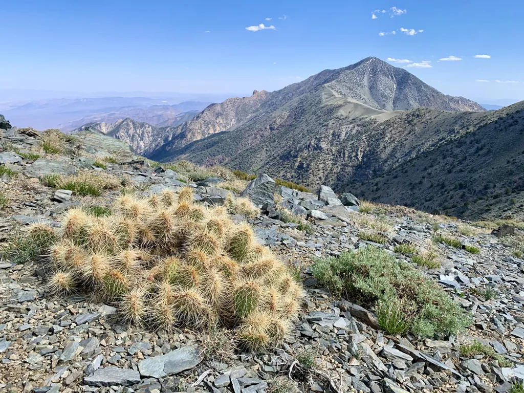 Telescope PeakHikingPhoto: NPS / public domain6.2 mi
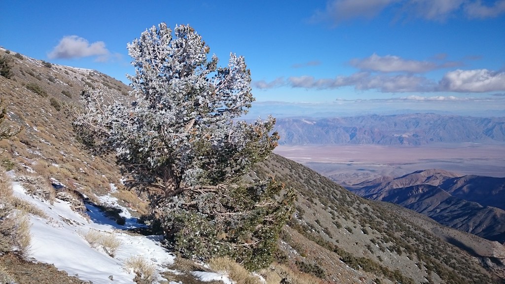 X-country route to Rogers PeakHikingPhoto: theforestprimeval, CC BY-SA 2.0 (via Flickr)8.5 mi
- Hanaupah Canyon hiking routeHiking8.7 mi
Source: Roamze catalog (indexable pages within 10 miles, PostGIS distance)
- Telescope PeakHiking · ~11 min drive
- X-country route to Rogers PeakHiking · ~15 min drivePhoto: theforestprimeval, CC BY-SA 2.0 (via Flickr)
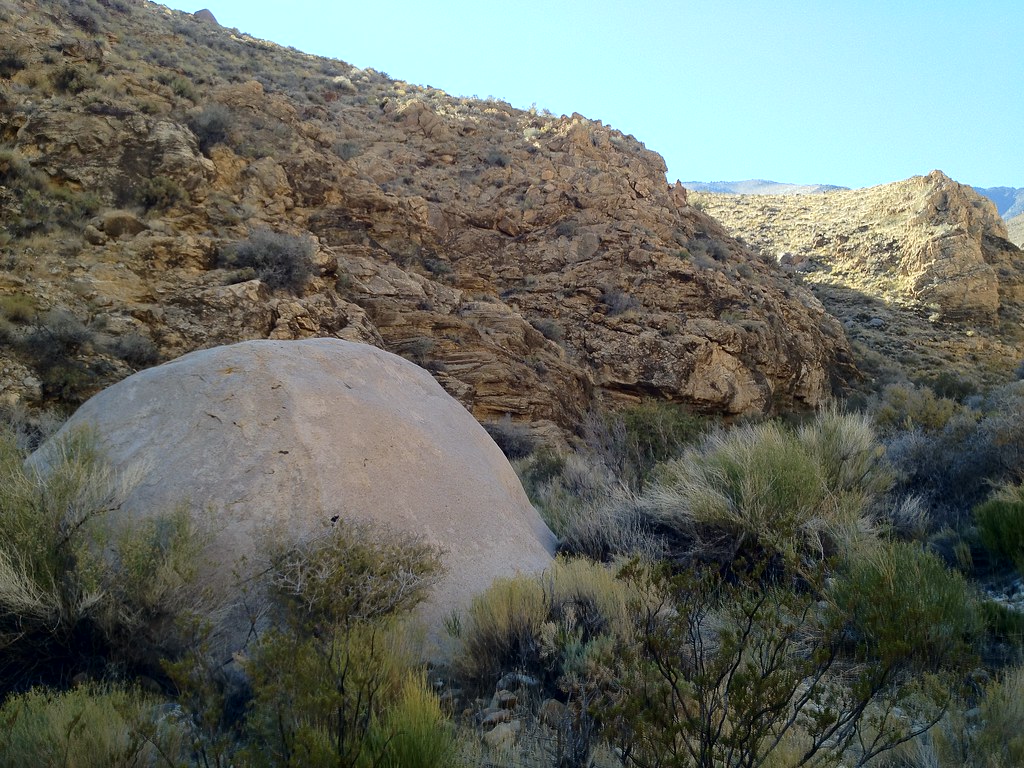 Hungry Bill's RanchHiking · ~16 min drivePhoto: stevelyon, CC BY-SA 2.0 (via Flickr)
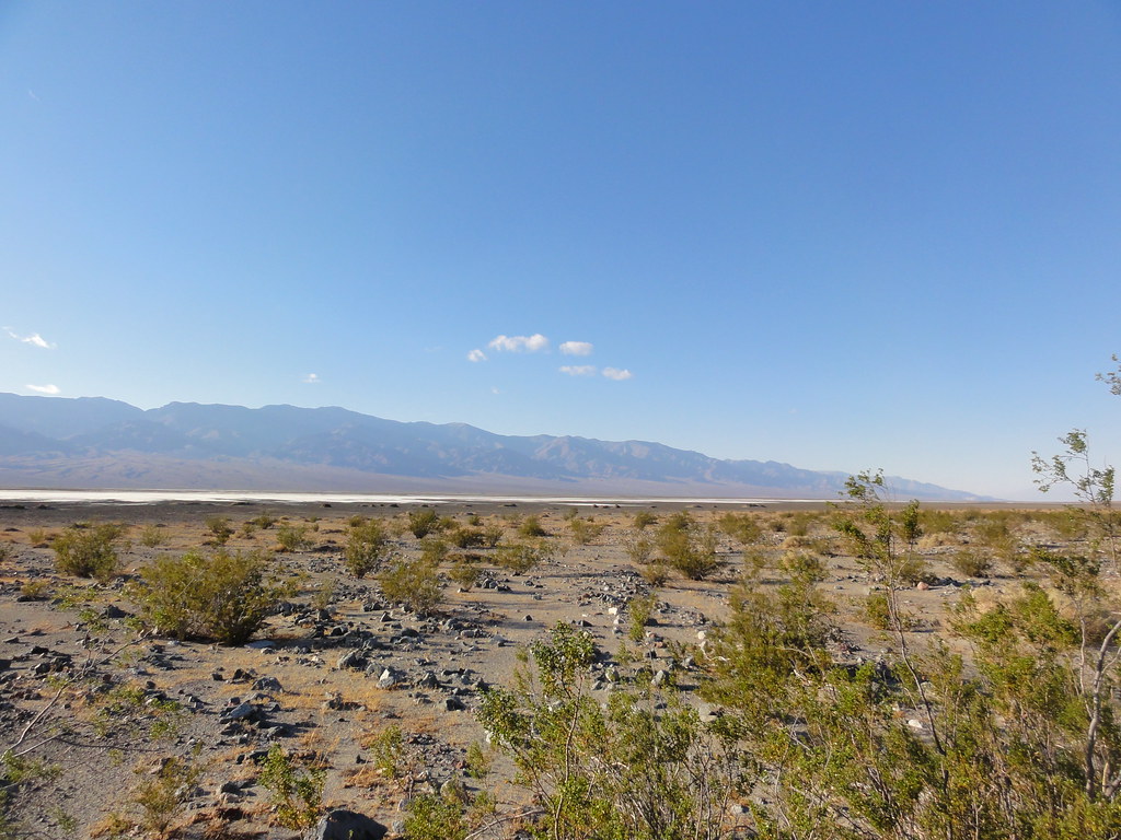 Willow CanyonHiking · ~42 min drivePhoto: inazakira, CC BY-SA 2.0 (via Flickr)
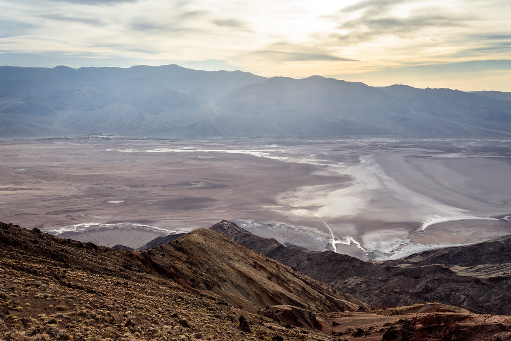 Dantes PeakHiking · ~45 min drivePhoto: dconvertini, CC BY-SA 2.0 (via Flickr)
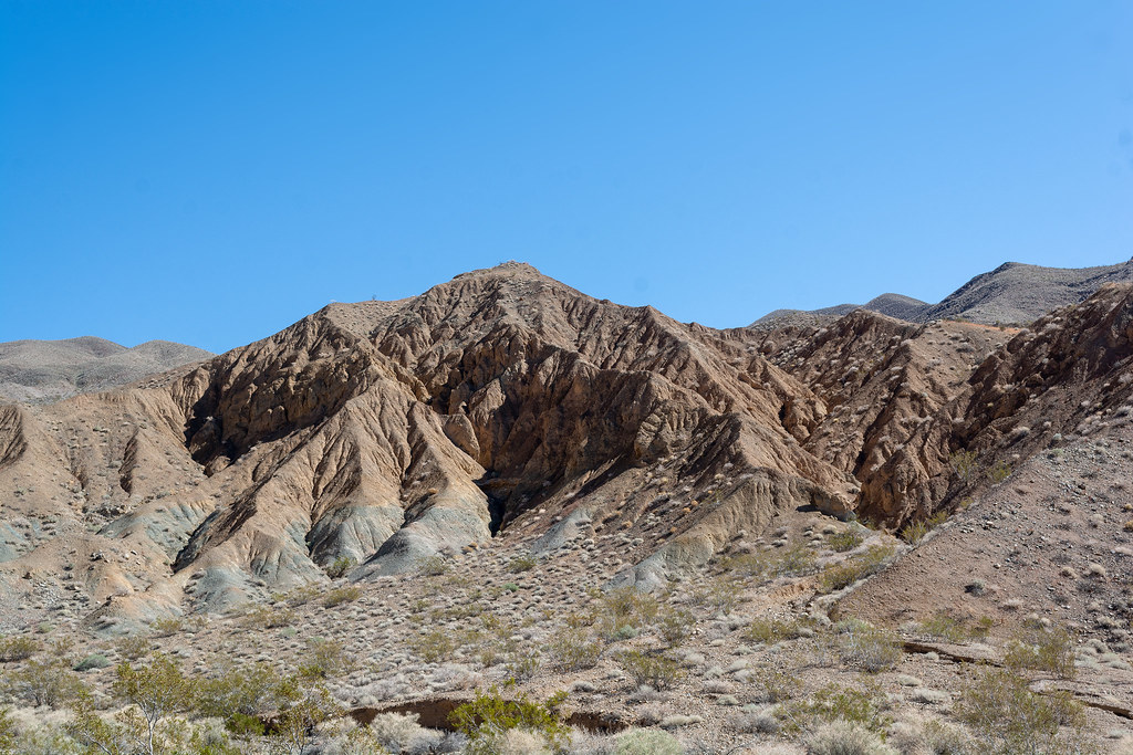 Nemo CanyonHiking · ~17 min drivePhoto: RuggyBearLA, CC BY 2.0 (via Flickr)
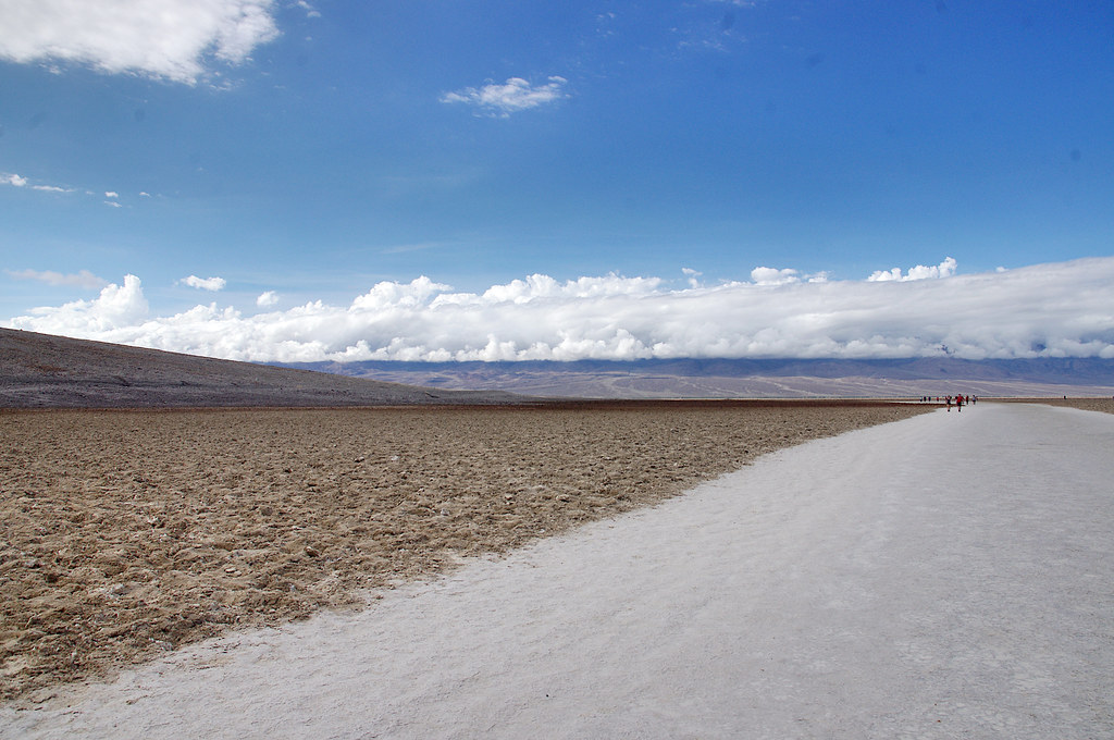 Badwater Salt FlatsHiking · ~41 min drivePhoto: Juhele_CZ, Public Domain Dedication (CC0) (via Flickr)
- Hanaupah Canyon hiking routeHiking · ~15 min drive
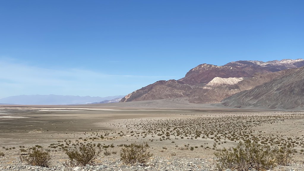 Sidewinder CanyonHiking · ~42 min drivePhoto: lamblukas, CC BY 2.0 (via Flickr)
 Wildrose PeakHiking · ~18 min drivePhoto: Greg Willis from Denver, CO, usa, CC BY-SA 2.0 (via Wikimedia Commons)

Map and trail data © OpenStreetMap contributors
