The Grandstand
 Photo: Manoseca, Public domain (via Wikimedia Commons)
- 3,764 ft
- summit
- National Park Service
- managed by
- Feb–May, Oct–Nov
- best months
Is The Grandstand open right now?
No closures listed
The National Park Service lists no closures for Death Valley National Park.
As of · Source: NPS · Death Valley National Park. Agencies don't list every closure — check before you go.
The Grandstand is a summit of about 3,764 feet in Inyo County, California, inside Death Valley National Park and the Death Valley Wilderness. The National Park Service manages the land, and the nearest town is Keeler, about 22 miles away. Spring and fall are the most comfortable times to visit. Typical averages from a nearby weather station in Independence show April highs around 76°F and October highs around 81°F, while July highs average about 102°F. Corridor Canyon is a hike about 4 miles away.
Conditions and forecast
Daily highs and lows, wind and the chance of precipitation at the summit for the next 7 days, from the Open-Meteo model.
- Summit elevation
- 3,764 ft
- Land manager
- National Park Service
Elevation from USGS 3D Elevation Program terrain data (about 10 m resolution).
We don't know of a mapped trail or route to the summit of The Grandstand. Plan the approach with local maps, a guidebook or a local guide, and check conditions before you go.
Questions about The Grandstand
How tall is The Grandstand?
3,764 ft (1,147 m).
Is there a trail to the top of The Grandstand?
We don't know of a mapped trail or route to the summit. Plan the approach with local maps, a guidebook or a local guide.
- Ubehebe Peak5,676 ft · California1 route1.1 mi away
- Thimble Peak6,372 ft · California1 route30 mi away
- Corkscrew Peak5,793 ft · California1 route32 mi away
 Mount Langley14,028 ft · California1 route39 mi awayPhoto: Timwryan (talk · contribs), CC BY-SA 4.0 (via Wikimedia Commons)
- Wildrose Peak9,065 ft · California1 route40 mi away
- Mount Irvine13,789 ft · California1 route40 mi away
Source: Roamze catalog (indexable pages within 10 miles, PostGIS distance)
 Tin MountainSummit · ~25 min drivePhoto: David Stone, CC BY-SA 2.0 (via Wikimedia Commons)
 Eureka DunesSummit · ~49 min drivePhoto: G. Thomas at English Wikipedia, Public domain (via Wikimedia Commons)
 Waucoba MountainSummit · ~57 min drivePhoto: Adorabutton, CC BY-SA 4.0 (via Wikimedia Commons)
 Aguereberry PointSummit · ~1h 3m drivePhoto: Clyde Charles Brown, CC BY-SA 4.0 (via Wikimedia Commons)
 Lone Pine PeakSummit · ~1h 5m drivePhoto: UFGS Region 5, CC BY 2.0 (via Wikimedia Commons)
 Silver PeakSummit · ~1h 6m drivePhoto: sdold, CC BY-SA 3.0 (via Wikimedia Commons)
- Mount LangleySummit · ~1h 7m drivePhoto: Timwryan (talk · contribs), CC BY-SA 4.0 (via Wikimedia Commons)
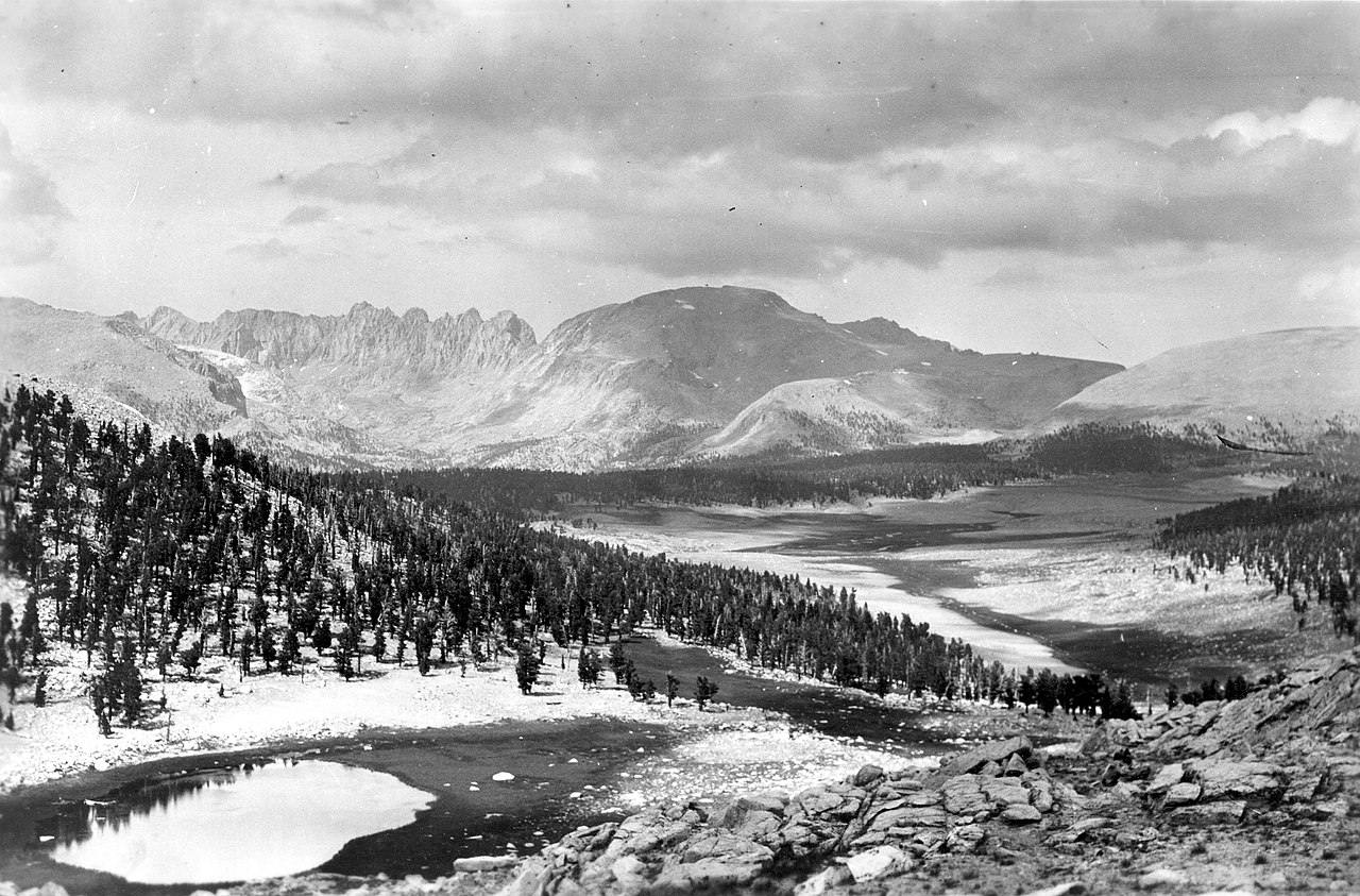 Mount Le ConteSummit · ~1h 8m drivePhoto: Not stated., Public domain (via Wikimedia Commons)
 Mount McAdieSummit · ~1h 10m drivePhoto: glenngould, CC BY 2.0 (via Wikimedia Commons)
 Mount RussellSummit · ~1h 10m drivePhoto: Will Beback at en.wikipedia, CC BY-SA 3.0 (via Wikimedia Commons)
Best time to visit The Grandstand
Best months: February–May and October–November. Best months have typical highs of 55–85 °F, lows of 30 °F or warmer (32 °F where the station doesn't record snow), at most one snowy day and no more than 12 wet days.
Jan
58° / 30°
4 wet
Feb
61° / 33°
4 wet
Mar
69° / 39°
3 wet
Apr
76° / 44°
1 wet
May
85° / 53°
1 wet
Jun
96° / 62°
1 wet
Jul
102° / 67°
1 wet
Aug
101° / 65°
1 wet
Sep
93° / 58°
1 wet
Oct
81° / 48°
1 wet
Nov
67° / 36°
2 wet
Dec
57° / 29°
4 wet
Typical high / low (°F) and days with rain or snow, 1991–2020. Measured at Independence, CA, 36.1 mi away at 3,950 ft. This station doesn't record snowfall. Source: NOAA NCEI U.S. Climate Normals 1991–2020.


