Telescope Peak
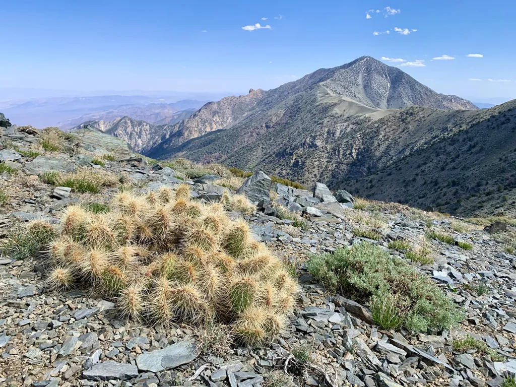 Photo: NPS / public domain
- 6.1 mi
- round trip
- 4,018 ft
- climb
- 11,041 ft
- high point
- Out and back
- route
Is Telescope Peak open right now?
No closures listed
The National Park Service lists no closures for Death Valley National Park.
As of · Source: NPS · Death Valley National Park. Agencies don't list every closure — check before you go.
The views from Telescope Peak are unsurpassed; to the east the swirling salt flats of Death Valley, and to the west the towering Sierra Nevada Mountains. At 11, 049 ft (3368 m), Telescope Peak is the tallest mountain in Death Valley National Park. This dramatic change in elevation from the valley floor below allows hikers to explore meadows full of desert wildflowers, and an ancient bristlecone pine forest. Round Trip Length: 13 miles (21km) Round Trip Time: 7 hours Difficulty: Difficult Elevation Gain: 3,000 ft (914m) Trail Type: Official out and back trail Location: From CA-190 follow Emigrant Canyon Road to the parking area at the Charcoal Kilns. The final 1.5 miles (2.4 km) beyond the kilns is a maintained gravel surface, but sometimes requires 4X4 high clearance. 25 ft vehicle length limit. Road closes with snow. Check with a ranger for current conditions. Parking: Open gravel area Closest Restroom: Vault toilet in nearby Mahogany Flat Campground. No restroom along the trail. Do not leave toilet paper in the backcountry. Route: The trail immediately begins climbing from the trail head. After several miles hikers reach a mellow ridge walk, before the final push to the top of the peak. Detailed Trip Report/Route Description Note: pets are not allowed on any trail in Death Valley National Park, even if carried. Do not leave your animal in your vehicle. Speak with a ranger about one of the incredible dirt roads where you may walk your pet.
Conditions and forecast on Telescope Peak
Daily highs and lows, wind and the chance of precipitation at the summit and route start for the next 7 days, from the Open-Meteo model.
- Hanaupah Canyon hiking routeHiking2.9 mi
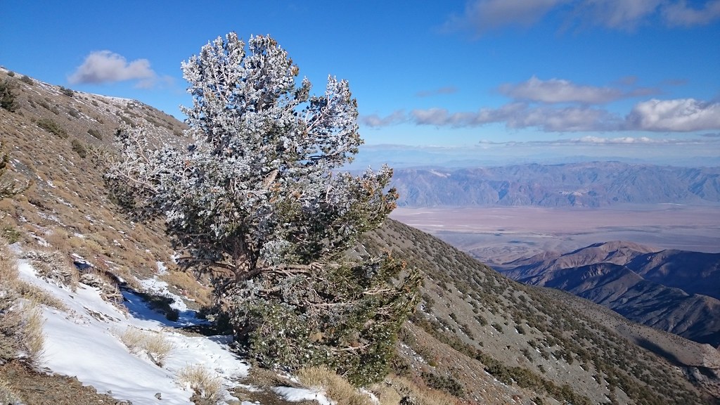 X-country route to Rogers PeakHikingPhoto: theforestprimeval, CC BY-SA 2.0 (via Flickr)3.1 mi
 Wildrose PeakHikingPhoto: Greg Willis from Denver, CO, usa, CC BY-SA 2.0 (via Wikimedia Commons)5.4 mi
 Surprise Canyon hiking routeHikingPhoto: Roebot, CC BY-SA 2.0 (via Flickr)6.2 mi
Source: Roamze catalog (indexable pages within 10 miles, PostGIS distance)
- X-country route to Rogers PeakHiking · ~5 min drivePhoto: theforestprimeval, CC BY-SA 2.0 (via Flickr)
- Wildrose PeakHiking · ~9 min drivePhoto: Greg Willis from Denver, CO, usa, CC BY-SA 2.0 (via Wikimedia Commons)
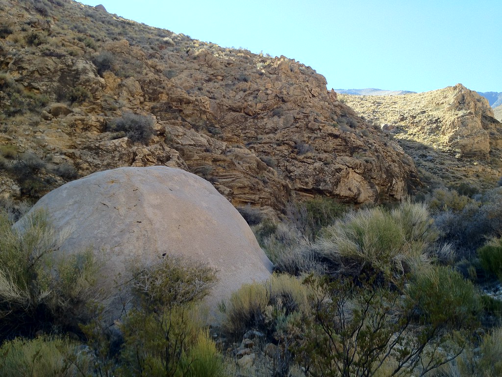 Hungry Bill's RanchHiking · ~12 min drivePhoto: stevelyon, CC BY-SA 2.0 (via Flickr)
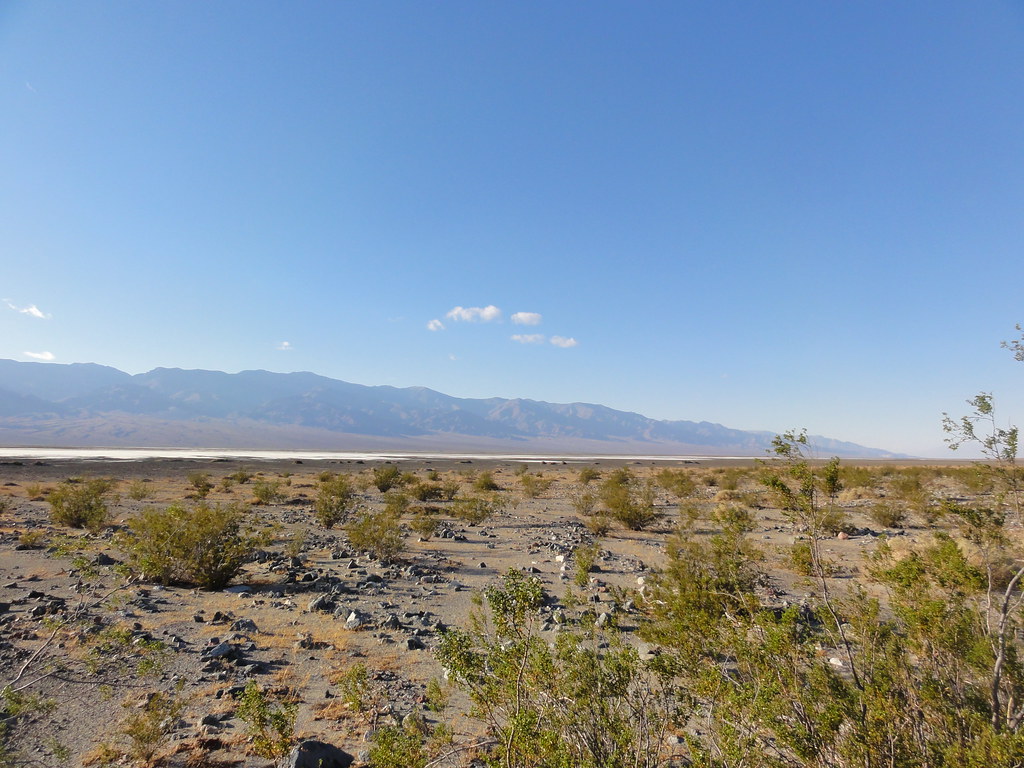 Willow CanyonHiking · ~35 min drivePhoto: inazakira, CC BY-SA 2.0 (via Flickr)
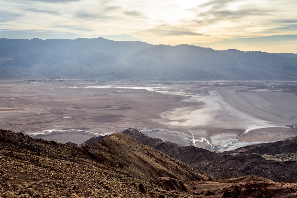 Dantes PeakHiking · ~35 min drivePhoto: dconvertini, CC BY-SA 2.0 (via Flickr)
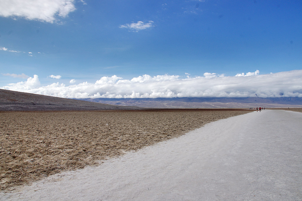 Badwater Salt FlatsHiking · ~32 min drivePhoto: Juhele_CZ, Public Domain Dedication (CC0) (via Flickr)
- Surprise Canyon hiking routeHiking · ~11 min drivePhoto: Roebot, CC BY-SA 2.0 (via Flickr)
- Hanaupah Canyon hiking routeHiking · ~5 min drive
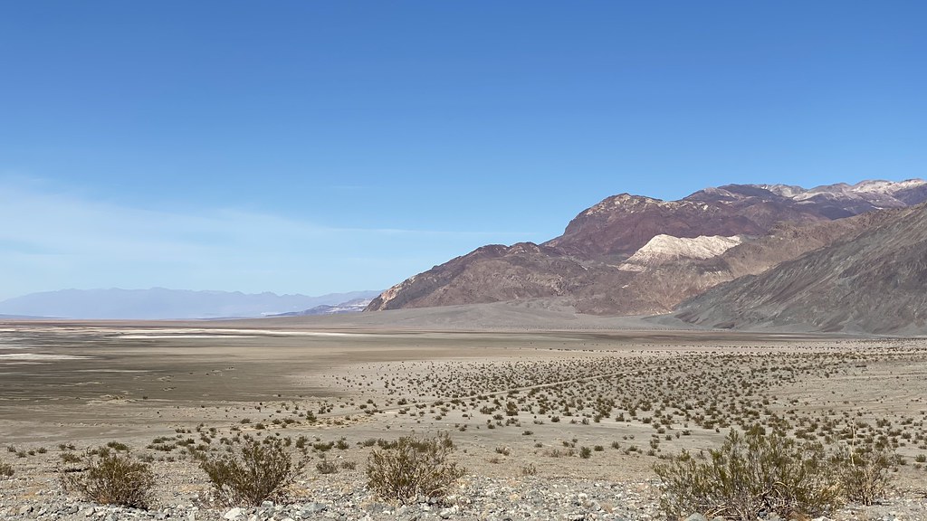 Sidewinder CanyonHiking · ~35 min drivePhoto: lamblukas, CC BY 2.0 (via Flickr)
- Natural BridgeHiking · ~34 min drive
Also worth it near here


Route details
- Distance
- 6.1 mi round trip
- Climbing
- About 4,018 ft
- Summit
- 11,041 ft
- Difficulty
- Hard
Questions about this route
How long is the Telescope Peak on Telescope Peak?
About 6.1 mi round trip.
How much elevation gain is on the Telescope Peak?
About 4,018 ft of climbing round trip.
How hard is the Telescope Peak?
It is rated hard.
