California · Summit
Silver Peak
 Photo: sdold, CC BY-SA 3.0 (via Wikimedia Commons)
- 7,555 ft
- summit
Loading this week's forecast
Silver Peak is a summit in Inyo County, California, at about 7,555 feet.
Conditions and forecast
Daily highs and lows, wind and the chance of precipitation at the summit for the next 7 days, from the Open-Meteo model.
- Summit elevation
- 7,555 ft
Elevation from USGS 3D Elevation Program terrain data (about 10 m resolution).
We don't know of a mapped trail or route to the summit of Silver Peak. Plan the approach with local maps, a guidebook or a local guide, and check conditions before you go.
Questions about Silver Peak
How tall is Silver Peak?
7,555 ft (2,303 m).
Is there a trail to the top of Silver Peak?
We don't know of a mapped trail or route to the summit. Plan the approach with local maps, a guidebook or a local guide.
- Lamont Peak7,440 ft · California1 route31 mi away
- Bald Mountain9,383 ft · California1 route32 mi away
- Owens Peak8,447 ft · California1 route33 mi away
- Indian Head8,974 ft · California1 route33 mi away
- Manzanita Knob9,124 ft · California1 route34 mi away
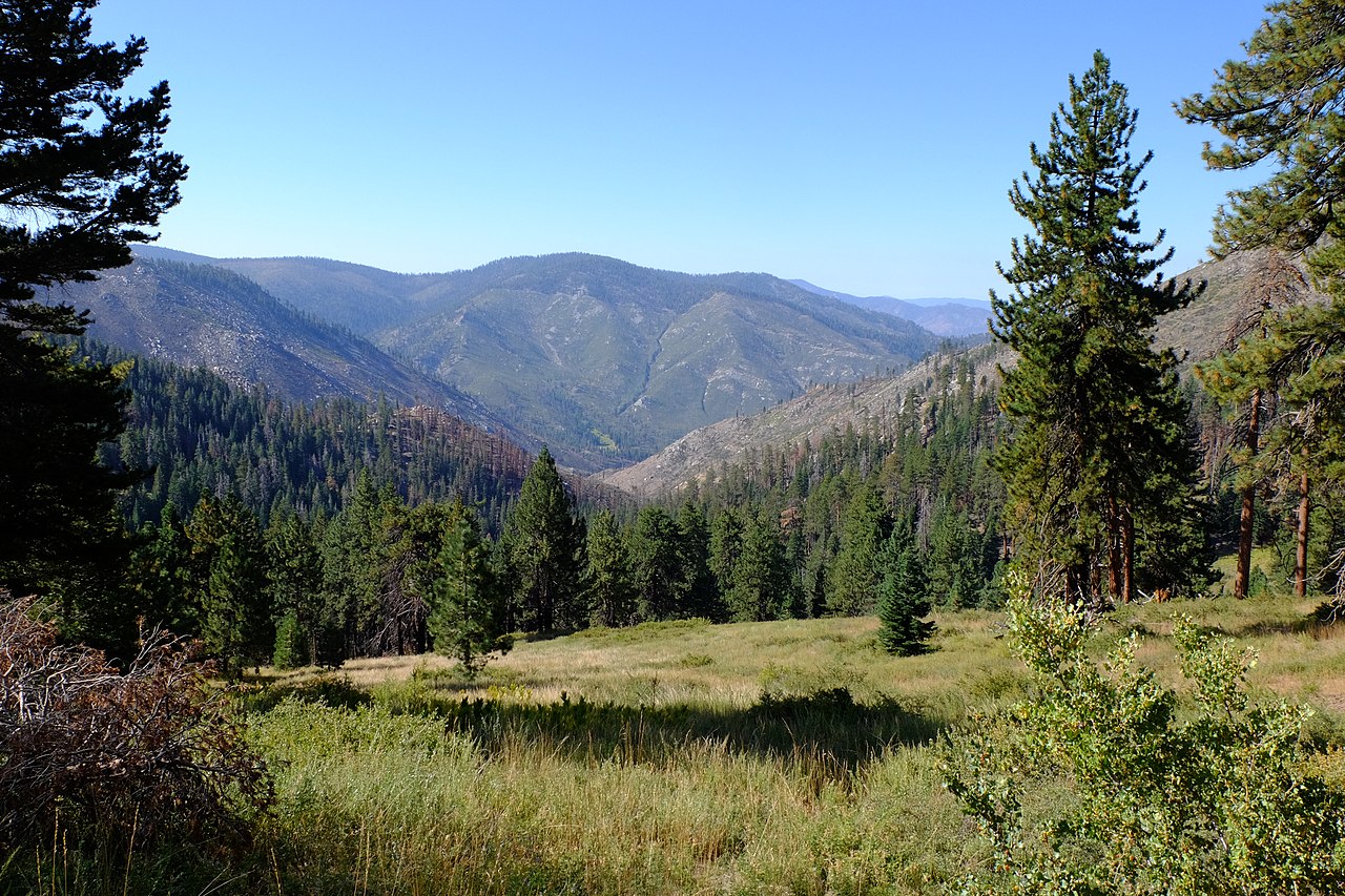 Kern Peak11,503 ft · California1 route34 mi awayPhoto: David Bakken, CC BY-SA 2.0 (via Wikimedia Commons)
 Olancha PeakSummit · ~42 min drivePhoto: Justin, CC BY 2.0 (via Wikimedia Commons)
- Kern PeakSummit · ~59 min drivePhoto: David Bakken, CC BY-SA 2.0 (via Wikimedia Commons)
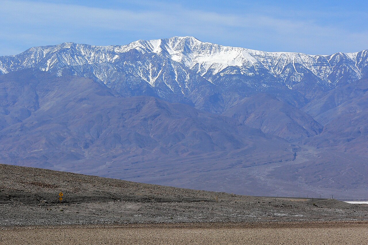 Telescope PeakSummit · ~59 min drivePhoto: Stan Shebs, CC BY-SA 3.0 (via Wikimedia Commons)
 The GrandstandSummit · ~1h 6m drivePhoto: Manoseca, Public domain (via Wikimedia Commons)
 Mount LangleySummit · ~1h 8m drivePhoto: Timwryan (talk · contribs), CC BY-SA 4.0 (via Wikimedia Commons)
 Aguereberry PointSummit · ~1h 8m drivePhoto: Clyde Charles Brown, CC BY-SA 4.0 (via Wikimedia Commons)
 Lone Pine PeakSummit · ~1h 10m drivePhoto: UFGS Region 5, CC BY 2.0 (via Wikimedia Commons)
 Mount McAdieSummit · ~1h 12m drivePhoto: glenngould, CC BY 2.0 (via Wikimedia Commons)
 Mount MuirSummit · ~1h 15m drivePhoto: Poppy, CC BY-SA 3.0 (via Wikimedia Commons)
 Mount WhitneySummit · ~1h 16m drivePhoto: Geographer (talk · contribs), CC BY 1.0 (via Wikimedia Commons)
