Lobo Group
Campground
Campground · 2.4 mi from the trail
Closure in the area
There's a closure order in Mountaintop Ranger District. It doesn't name Sugarlump, so check the source for the area it covers.
Radford Fire Closure Area
Agency closure covering Mountaintop Ranger District · Order 05-12-52-24-06 · USFS · Mountaintop Ranger District
Safety Alert - Falling Rocks at Bonita Falls
Agency alert covering San Bernardino National Forest · USFS · San Bernardino National Forest
Fire Restrictions
Agency alert covering San Bernardino National Forest · Order 05-12-00-26-05 · USFS · San Bernardino National Forest
As of · Source: USFS · Mountaintop Ranger District. Agencies don't list every closure — check before you go.
Sugarlump is a summit in the Mountaintop Ranger District of San Bernardino National Forest in California, about 3.4 miles from the town of Big Bear Lake. The Sugarlump Trail starts just 0.1 mile away. Nearby, the Showtime Trail lies about 1.2 miles away. Lobo Group campground and Buttercup Group Camp are both within about 2.5 miles. Buckthorn Boulder, a climbing area, is about 2.7 miles off.
Lobo Group
Campground
 If it rainsBeyond My Ken, CC BY-SA 4.0 · Wikimedia Commons
Deep Creek Hot Springs
Hot spring
Natural hot springs located in San Bernardino National Forest, California, United States
Places © OpenStreetMap contributors, Places © Overture Maps Foundation · Photos: Beyond My Ken, CC BY-SA 4.0 (commons)
More in Lucerne ValleyDaily highs and lows, wind and the chance of precipitation at the summit for the next 7 days, from the Open-Meteo model.
Elevation from USGS 3D Elevation Program terrain data (about 10 m resolution).
We don't know of a mapped trail or route to the summit of Sugarlump. Plan the approach with local maps, a guidebook or a local guide, and check conditions before you go.
8,795 ft (2,681 m).
We don't know of a mapped trail or route to the summit. Plan the approach with local maps, a guidebook or a local guide.
 Sugarlump TrailHikingPhoto: morrisonbrett, CC BY 2.0 (via Flickr)0.1 mi
 Showtime TrailHikingPhoto: miheco, CC BY-SA 2.0 (via Flickr)1.2 mi
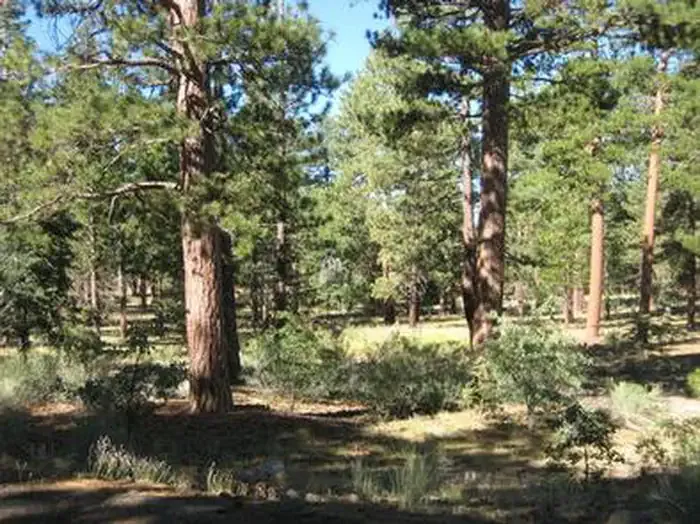 Lobo GroupCampingPhoto: Recreation.gov (RIDB) / public domain2.4 mi
 Buttercup Group CampCampingPhoto: Recreation.gov (RIDB) / public domain2.5 mi
 San GorgonioSaltwater fishing2.7 mi
Source: Roamze catalog (indexable pages within 10 miles, PostGIS distance)
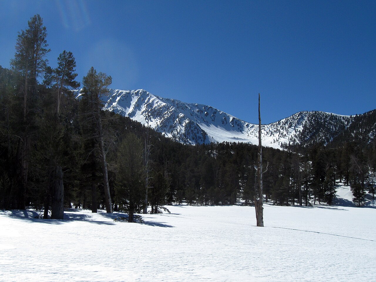 Jepson PeakSummit · ~13 min drivePhoto: Mitch Barrie, CC BY-SA 2.0 (via Wikimedia Commons)
 San Gorgonio MountainSummit · ~13 min drivePhoto: Doc Searls, CC BY-SA 2.0 (via Wikimedia Commons)
 San Jacinto PeakSummit · ~50 min drivePhoto: Wattewyl, CC BY 3.0 (via Wikimedia Commons)
 Slover MountainSummit · ~51 min drivePhoto: Unknown authorUnknown author, Public domain (via Wikimedia Commons)
 Suicide RockSummit · ~54 min drivePhoto: Eeekster, CC BY-SA 3.0 (via Wikimedia Commons)
 Mount RubidouxSummit · ~60 min drivePhoto: No machine-readable author provided. Takwish assumed (based on copyright claims)., CC BY-SA 2.5 (via Wikimedia Commons)
 Mount JurupaSummit · ~1h 2m drivePhoto: Scottthezombie, CC BY-SA 4.0 (via Wikimedia Commons)
 Quail MountainSummit · ~1h 4m drivePhoto: DouglasBear at English Wikipedia, Public domain (via Wikimedia Commons)
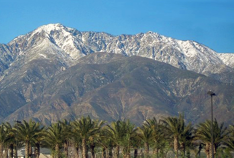 Cucamonga PeakSummit · ~1h 12m drivePhoto: Cliff Hutson; later cropping and color editing by Daniel Case., CC BY 2.0 (via Wikimedia Commons)
Also worth it near here
Sugarlump TrailHiking · Next doorPhoto: morrisonbrett, CC BY 2.0 (via Flickr) Radford Truck TrailMountain biking · ~4 min drivePhoto: inkknife_2000 (7.5 million views +), CC BY-SA 2.0 (via Wikimedia Commons)
