Ryan Mountain Campground
Campground
Sites open the weekend of Dec 25 on Recreation.gov
 Photo: DouglasBear at English Wikipedia, Public domain (via Wikimedia Commons)
Alert in the area
The National Park Service lists 2 alerts for Joshua Tree National Park.
Inaccurate Third-Party Apps
Park alert covering Joshua Tree National Park · NPS · Joshua Tree National Park
Oasis of Mara Trail Partial Closure
Park alert covering Joshua Tree National Park · NPS · Joshua Tree National Park
As of · Source: NPS · Joshua Tree National Park. Agencies don't list every closure — check before you go.
Quail Mountain is a summit in Riverside County, California, rising to about 5,814 feet inside Joshua Tree National Park and the Joshua Tree Wilderness. The National Park Service manages the land, and the town of Joshua Tree lies about 9 miles away, making it the closest community for supplies and lodging before heading into the park. Because the peak sits within designated wilderness as well as the national park, visitors are entering one of the park's protected backcountry zones rather than a developed area. One warns that some third-party apps are inaccurate. Johnny Lang Canyon is the nearest hike, about 2.7 miles away, and the climbing at Quail Springs Area sits about 2.8 miles off. The Stubbe Springs Loop Trail is about 3.3 miles away, and Black Rock Campground, about 9.6 miles away, offers a place to stay.
Ryan Mountain Campground
Campground
 If it rainsJarek Tuszyński, CC BY 3.0 · Wikimedia Commons
Places © OpenStreetMap contributors · Photos: Jarek Tuszyński, CC BY 3.0 (commons)
More in Desert Hot SpringsDaily highs and lows, wind and the chance of precipitation at the summit for the next 7 days, from the Open-Meteo model.
Elevation from USGS 3D Elevation Program terrain data (about 10 m resolution).
We don't know of a mapped trail or route to the summit of Quail Mountain. Plan the approach with local maps, a guidebook or a local guide, and check conditions before you go.
5,814 ft (1,772 m).
We don't know of a mapped trail or route to the summit. Plan the approach with local maps, a guidebook or a local guide.

 Quail Springs AreaRock climbingPhoto: Bernard Gagnon, CC BY-SA 3.0 (via Wikimedia Commons)2.8 mi
 White Cliffs of Dover - Right SideRock climbingPhoto: Bernard Gagnon, CC BY-SA 3.0 (via Wikimedia Commons)2.8 mi
 Mary TrailHikingPhoto: Brück & Sohn Kunstverlag Meißen, CC0 (via Wikimedia Commons)3.4 mi
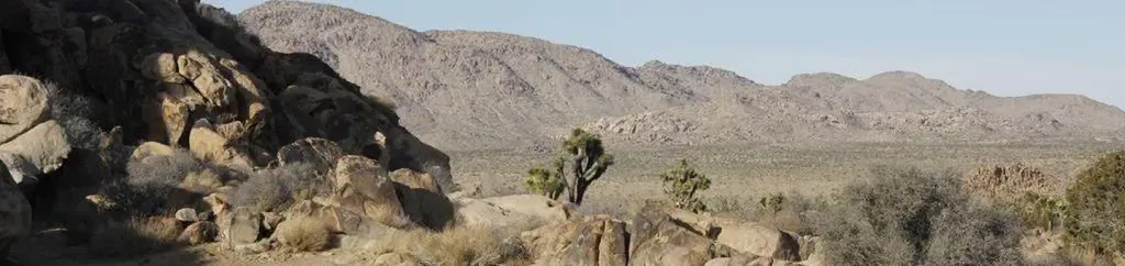 Sheep Pass GroupCampingPhoto: Recreation.gov (RIDB) / public domain7.1 mi
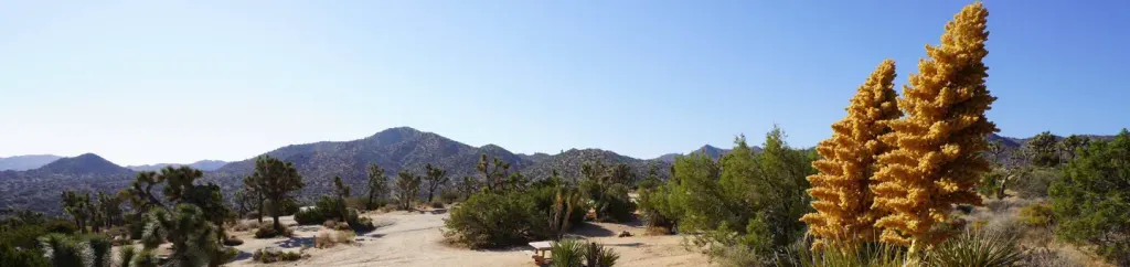 Black Rock CampgroundCampingPhoto: Recreation.gov (RIDB) / public domain9.6 mi
Source: Roamze catalog (indexable pages within 10 miles, PostGIS distance)
Ryan MountainSummit · ~11 min drivePhoto: Joshua Tree National Park, Public domain (via Wikimedia Commons) Keys ViewSummit · ~11 min drivePhoto: Farragutful, CC BY-SA 4.0 (via Wikimedia Commons)
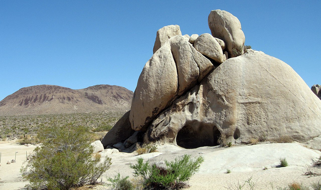 Malapai HillSummit · ~17 min drivePhoto: Joshua Tree National Park, Public domain (via Wikimedia Commons)
 San Jacinto PeakSummit · ~49 min drivePhoto: Wattewyl, CC BY 3.0 (via Wikimedia Commons)
 Suicide RockSummit · ~53 min drivePhoto: Eeekster, CC BY-SA 3.0 (via Wikimedia Commons)
 San Gorgonio MountainSummit · ~58 min drivePhoto: Doc Searls, CC BY-SA 2.0 (via Wikimedia Commons)
 Toro PeakSummit · ~60 min drivePhoto: Tylerfinvold at English Wikipedia, Public domain (via Wikimedia Commons)
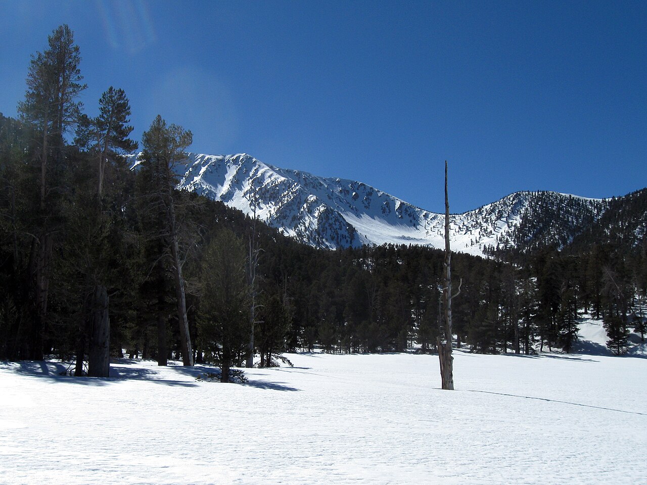 Jepson PeakSummit · ~1h drivePhoto: Mitch Barrie, CC BY-SA 2.0 (via Wikimedia Commons)
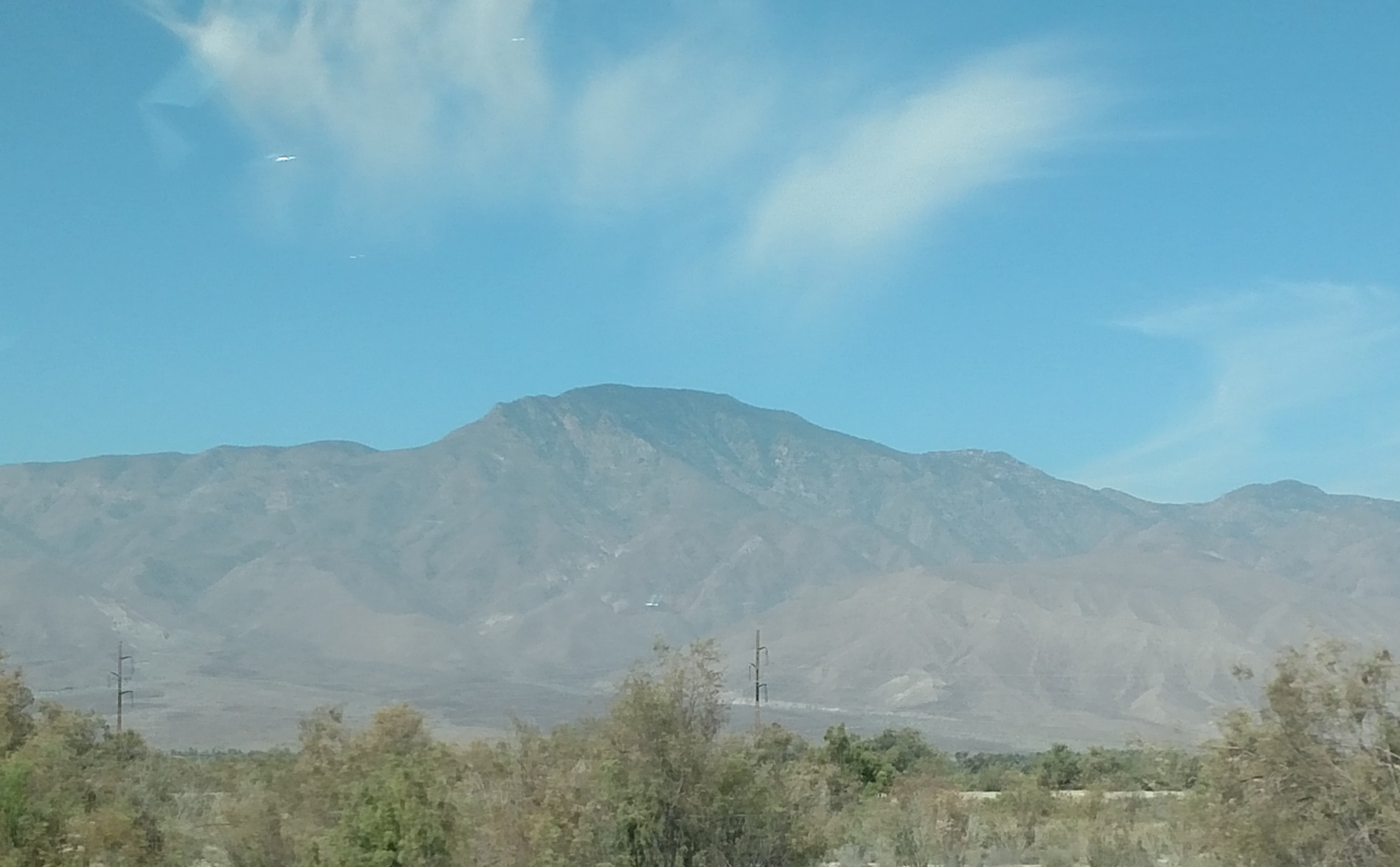 Rabbit PeakSummit · ~1h 8m drivePhoto: 5K-VX, CC BY-SA 4.0 (via Wikimedia Commons)
 Coyote MountainSummit · ~1h 19m drivePhoto: Florian Boyd from Palm Springs, USA, CC BY-SA 2.0 (via Wikimedia Commons)
