
Town · California
Lucerne Valley
655 trails and outdoor spots within 30 miles, 8 places to eat, stay and see in town. Pick your dates and Roamze builds the days.
Photo near Lucerne Valley: Doc Searls, CC BY-SA 2.0 (via Wikimedia Commons)
Plan a trip to Lucerne Valley
Any dates
No dates yet? That's fine. Pick a length and add dates later.
OUTSIDE
Outside near Lucerne Valley
- San Gorgonio MountainSummit · 24 mi away
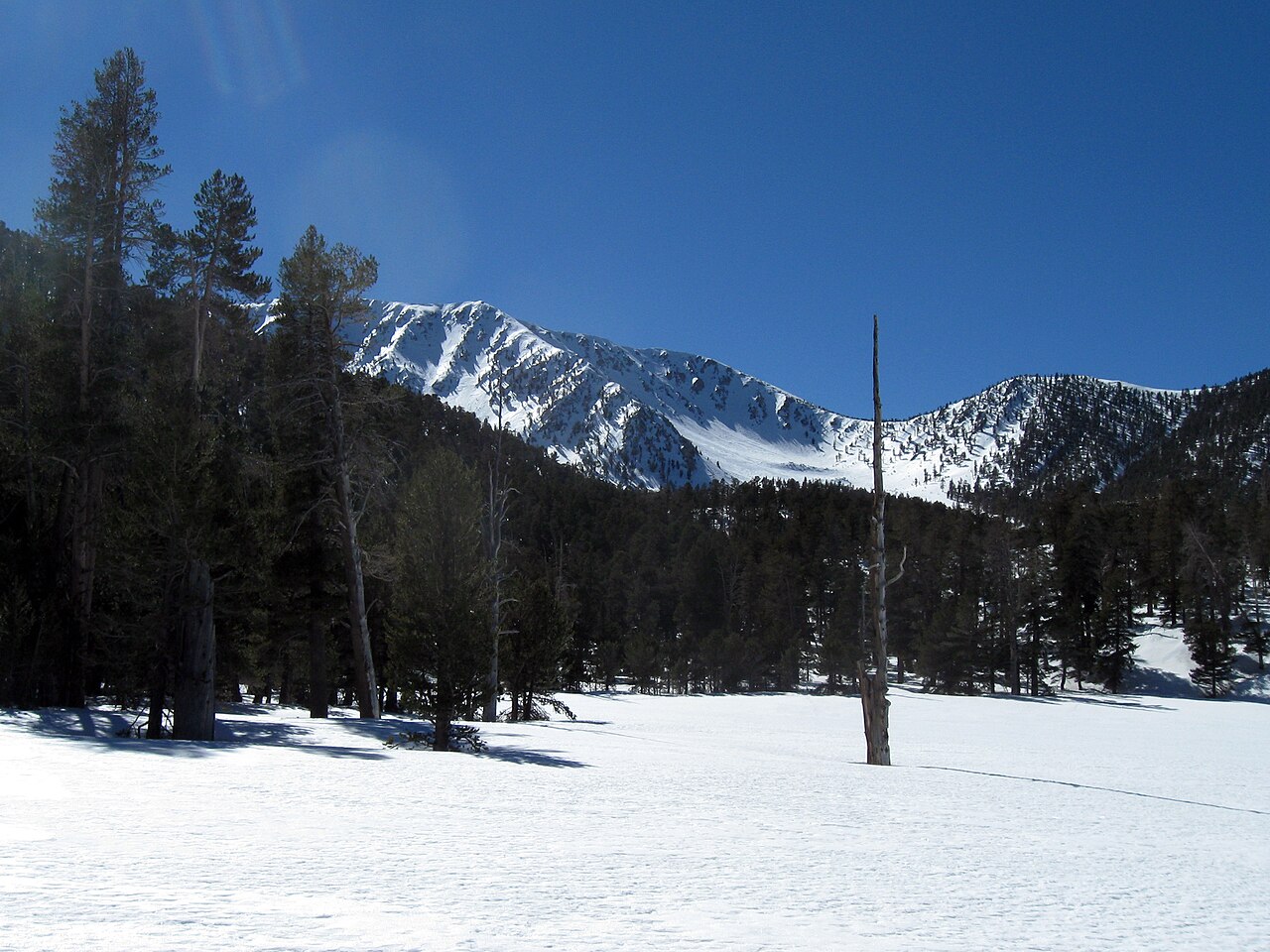 Jepson PeakSummit · 24 mi away
 San Gorgonio Mountain TrailHike · 0.4 mi · Easy · 24 mi away
 Joshua LoopHike · 1.6 mi · Easy · 12 mi away
 Don't Shoot Me TrailHike · 1.9 mi · Easy · 12 mi away
 Alpine Pedal PathHike · 5 mi · Moderate · 13 mi away
 Arkham AsylumClimbing area · 5.3 mi away
 Alpine RockClimbing area · 9.9 mi away
 Cactus Flats AreaClimbing area · 9.9 mi away
EAT
Eat in Lucerne Valley
- The Deli CafeCafe · 2.5 mi from Lucerne Valleysource: OpenStreetMap · checked Oct 29, 2026
- Cafe 247Restaurant · 2.5 mi from Lucerne Valleysource: OpenStreetMap · checked Oct 29, 2026
- China HouseRestaurant · 2.7 mi from Lucerne Valleysource: OpenStreetMap · checked Oct 29, 2026
- Adelita's RestaurantRestaurant · 2.8 mi from Lucerne Valleysource: OpenStreetMap · checked Oct 29, 2026
- El Cayote LocoRestaurant · 4.3 mi from Lucerne Valleysource: OpenStreetMap · checked Oct 29, 2026
SHOP
Shop
- Lucerne Valley Market and HardwareSupermarket · 2.5 mi from Lucerne Valleysource: OpenStreetMap · checked Oct 29, 2026
- Dino MartConvenience · 2.7 mi from Lucerne Valleysource: OpenStreetMap · checked Oct 29, 2026
- Good ShopConvenience · 2.8 mi from Lucerne Valleysource: OpenStreetMap · checked Oct 29, 2026
Places © OpenStreetMap contributors · checked Oct 29, 2026. Hours change, so check before you go.
GUIDES
