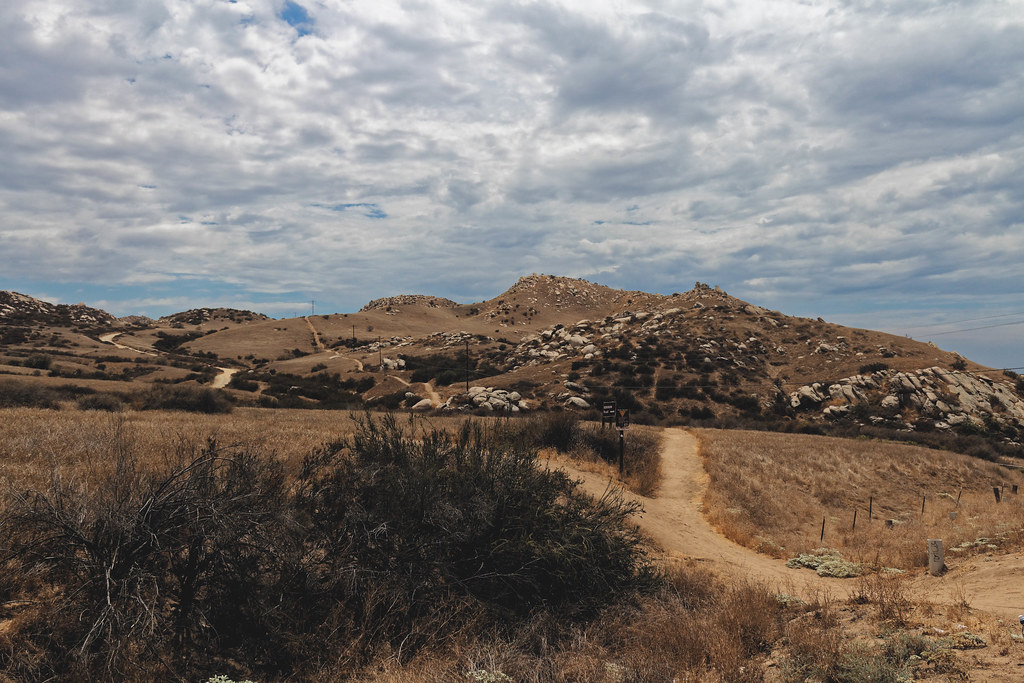
Mount Rubidoux
 Photo: No machine-readable author provided. Takwish assumed (based on copyright claims)., CC BY-SA 2.5 (via Wikimedia Commons)
- 1,335 ft
- summit
- City Land
- managed by
- Oct–May
- best months
Mount Rubidoux is a summit of about 1,335 feet in Riverside County, California, set within Mount Rubidoux Park on city land. The nearest town is Riverside, about 3 miles away. Spring and late fall are the most comfortable times to visit. Typical averages from a nearby weather station show April highs around 75°F and November highs around 76°F, while July and August average in the mid-90s. The summit sits right beside several climbing areas, including English Smooth Sole Slab, Cross Rock Area and Joe Brown, each about 0.1 mile away. For a walk, the Park path is about 2.3 miles off.
Conditions and forecast
Daily highs and lows, wind and the chance of precipitation at the summit for the next 7 days, from the Open-Meteo model.
- Summit elevation
- 1,335 ft
- Land manager
- City Land
Elevation from USGS 3D Elevation Program terrain data (about 10 m resolution).
We don't know of a mapped trail or route to the summit of Mount Rubidoux. Plan the approach with local maps, a guidebook or a local guide, and check conditions before you go.
Questions about Mount Rubidoux
How tall is Mount Rubidoux?
1,335 ft (407 m).
Is there a trail to the top of Mount Rubidoux?
We don't know of a mapped trail or route to the summit. Plan the approach with local maps, a guidebook or a local guide.
 Mount Jurupa2,221 ft · California1 route4.4 mi awayPhoto: Scottthezombie, CC BY-SA 4.0 (via Wikimedia Commons)
- Marshall Peak4,014 ft · California1 route16 mi away
- Zanja Peak3,545 ft · California2 routes20 mi away
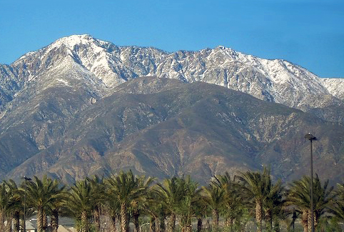 Cucamonga Peak8,859 ft · California1 route20 mi awayPhoto: Cliff Hutson; later cropping and color editing by Daniel Case., CC BY 2.0 (via Wikimedia Commons)
- San Juan Hill1,780 ft · California2 routes20 mi away
- Cram Peak4,165 ft · California1 route21 mi away
- English Smooth Sole SlabRock climbing0.1 mi
- Cross Rock AreaRock climbing0.1 mi
- Joe BrownRock climbing0.1 mi
- Park pathHiking2.3 mi
- Hunter park pathHiking3.2 mi
- Gage Canal PathHiking3.7 mi
- Lytle CreekCanoeing9.1 mi
- San Timoteo WashCanoeing9.8 mi
Source: Roamze catalog (indexable pages within 10 miles, PostGIS distance)
- Mount JurupaSummit · ~8 min drivePhoto: Scottthezombie, CC BY-SA 4.0 (via Wikimedia Commons)
 Slover MountainSummit · ~11 min drivePhoto: Unknown authorUnknown author, Public domain (via Wikimedia Commons)
 Pleasants PeakSummit · ~31 min drivePhoto: Northwalker, CC0 (via Wikimedia Commons)
- Cucamonga PeakSummit · ~34 min drivePhoto: Cliff Hutson; later cropping and color editing by Daniel Case., CC BY 2.0 (via Wikimedia Commons)
 Trabuco PeakSummit · ~34 min drivePhoto: Don Ramey Logan, CC BY-SA 4.0 (via Wikimedia Commons)
 Modjeska PeakSummit · ~35 min drivePhoto: Justin Johnsen (Justin.Johnsen), CC BY-SA 3.0 (via Wikimedia Commons)
 Santiago PeakSummit · ~35 min drivePhoto: Nandaro, CC BY-SA 3.0 (via Wikimedia Commons)
 Timber MountainSummit · ~37 min drivePhoto: Mitch Barrie (simonov), CC BY-SA 2.0 (via Wikimedia Commons)
 Los Pinos PeakSummit · ~38 min drivePhoto: Shannon1, CC BY-SA 4.0 (via Wikimedia Commons)
 Flores PeakSummit · ~39 min drivePhoto: Uncabunca, CC BY-SA 4.0 (via Wikimedia Commons)
Best time to visit Mount Rubidoux
Best months: October–May. Best months have typical highs of 55–85 °F, lows of 30 °F or warmer (32 °F where the station doesn't record snow), at most one snowy day and no more than 12 wet days.
Jan
70° / 44°
7 wet
Feb
70° / 45°
7 wet
Mar
72° / 47°
6 wet
Apr
75° / 50°
4 wet
May
80° / 55°
2 wet
Jun
87° / 58°
1 wet
Jul
94° / 63°
1 wet
Aug
97° / 64°
0 wet
Sep
93° / 61°
1 wet
Oct
82° / 55°
2 wet
Nov
76° / 47°
3 wet
Dec
69° / 43°
5 wet
Typical high / low (°F) and days with rain or snow, 1991–2020. Measured at Riverside Citrus Exp, CA, 2.2 mi away at 986 ft. Source: NOAA NCEI U.S. Climate Normals 1991–2020.