Tahquitz Pines
Campground
Campground · 1.5 mi from the trail
 Photo: Eeekster, CC BY-SA 3.0 (via Wikimedia Commons)
Alert in the area
The Forest Service lists 2 alerts for San Bernardino National Forest.
Safety Alert - Falling Rocks at Bonita Falls
Agency alert covering San Bernardino National Forest · USFS · San Bernardino National Forest
Fire Restrictions
Agency alert covering San Bernardino National Forest · Order 05-12-00-26-05 · USFS · San Bernardino National Forest
As of · Source: USFS · San Bernardino National Forest. Agencies don't list every closure — check before you go.
Suicide Rock is a summit in the San Jacinto Wilderness, part of the San Jacinto Ranger District of San Bernardino National Forest, which the Forest Service manages. The nearest town is Idyllwild-Pine Cove, about 2.7 miles away. Because the summit sits inside designated wilderness, wilderness use rules apply. Climbers have plenty close at hand. The Paisano Pinnacle Area and Smooth Sole Wall - Left Side are each about 0.1 mile away. For hiking, the Ernie Maxwell Scenic Trail lies about 0.7 mile off, and Fern Basin campground is roughly 2.6 miles away for anyone planning an overnight stay.
Tahquitz Pines
Campground
 If it rainsVisitor7, CC BY-SA 3.0 · Wikimedia Commons
Places © OpenStreetMap contributors, Places © Overture Maps Foundation · Photos: Visitor7, CC BY-SA 3.0 (commons)
More in Desert Hot SpringsDaily highs and lows, wind and the chance of precipitation at the summit and route start for the next 7 days, from the Open-Meteo model.
Elevation from USGS 3D Elevation Program terrain data (about 10 m resolution).
7,519 ft (2,292 m).
One: Suicide Rock.

 Smooth Sole Wall - Left SideRock climbingPhoto: HikingMike, CC BY 2.0 (via Flickr)0.1 mi
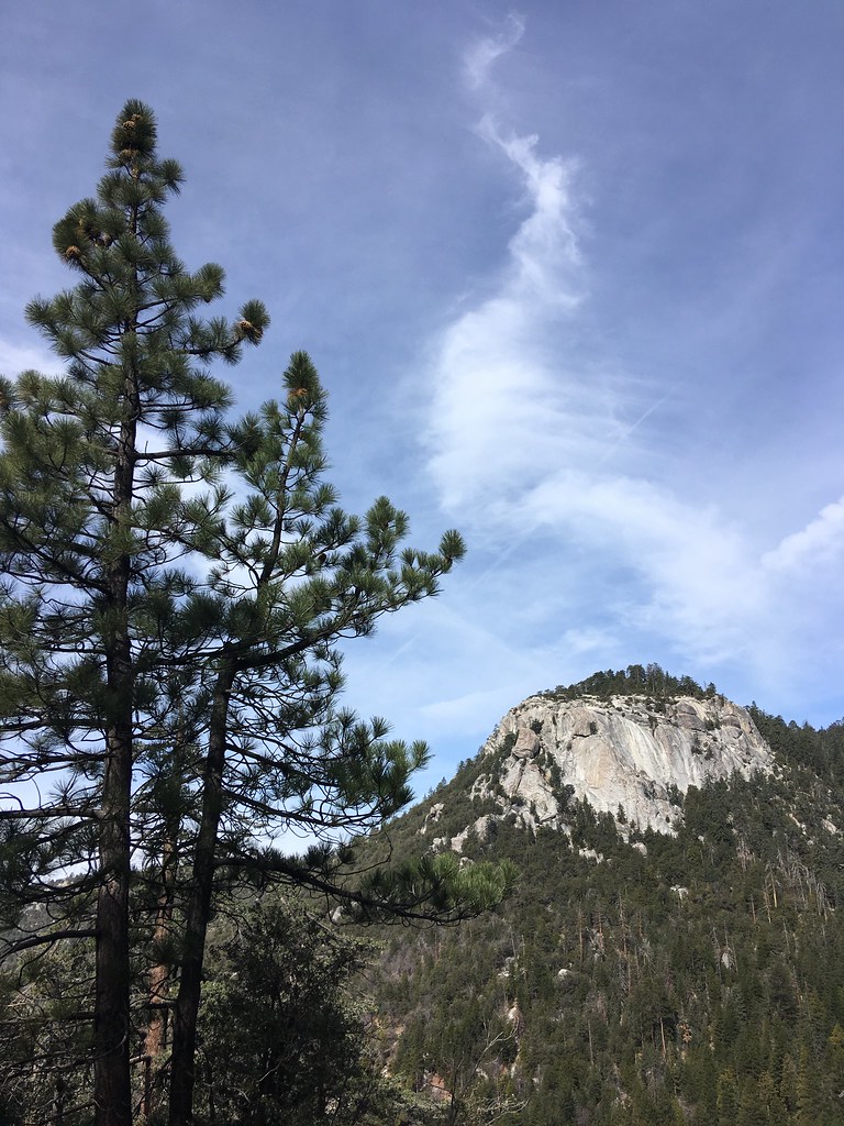 ClimbersHikingPhoto: sergei.gussev, CC BY 2.0 (via Flickr)0.5 mi
 Ernie Maxwell Scenic TrailHikingPhoto: atramos, CC BY 2.0 (via Flickr)0.7 mi
 Black Mountain (san Bernardino)CampingPhoto: Recreation.gov (RIDB) / public domain5 mi
Source: Roamze catalog (indexable pages within 10 miles, PostGIS distance)
San Jacinto PeakSummit · ~5 min drivePhoto: Wattewyl, CC BY 3.0 (via Wikimedia Commons) Toro PeakSummit · ~40 min drivePhoto: Tylerfinvold at English Wikipedia, Public domain (via Wikimedia Commons)
 San Gorgonio MountainSummit · ~41 min drivePhoto: Doc Searls, CC BY-SA 2.0 (via Wikimedia Commons)
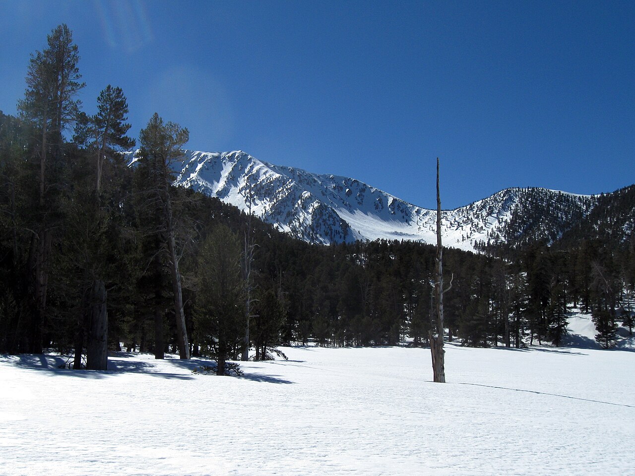 Jepson PeakSummit · ~42 min drivePhoto: Mitch Barrie, CC BY-SA 2.0 (via Wikimedia Commons)
 Quail MountainSummit · ~53 min drivePhoto: DouglasBear at English Wikipedia, Public domain (via Wikimedia Commons)
 Keys ViewSummit · ~54 min drivePhoto: Farragutful, CC BY-SA 4.0 (via Wikimedia Commons)
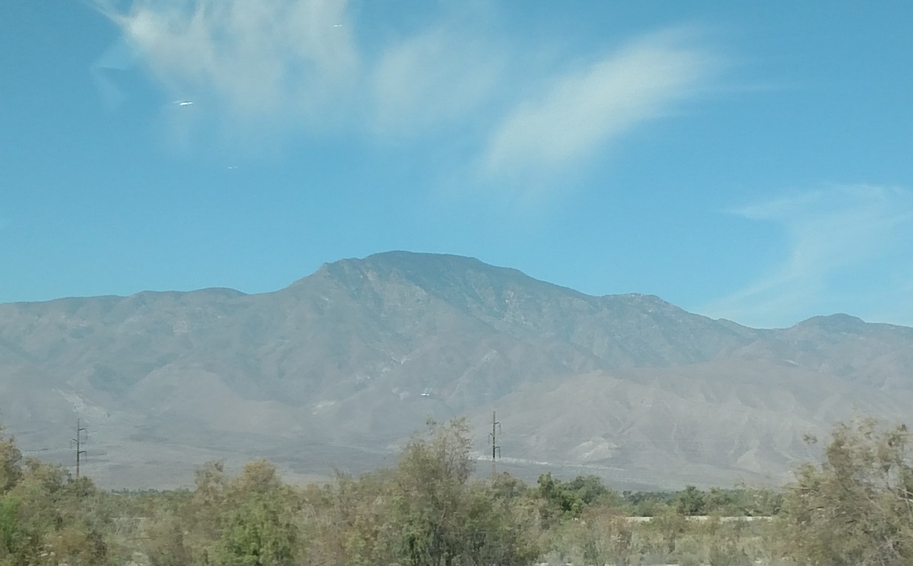 Rabbit PeakSummit · ~1h drivePhoto: 5K-VX, CC BY-SA 4.0 (via Wikimedia Commons)
 Ryan MountainSummit · ~1h 1m drivePhoto: Joshua Tree National Park, Public domain (via Wikimedia Commons)
 Coyote MountainSummit · ~1h 2m drivePhoto: Florian Boyd from Palm Springs, USA, CC BY-SA 2.0 (via Wikimedia Commons)
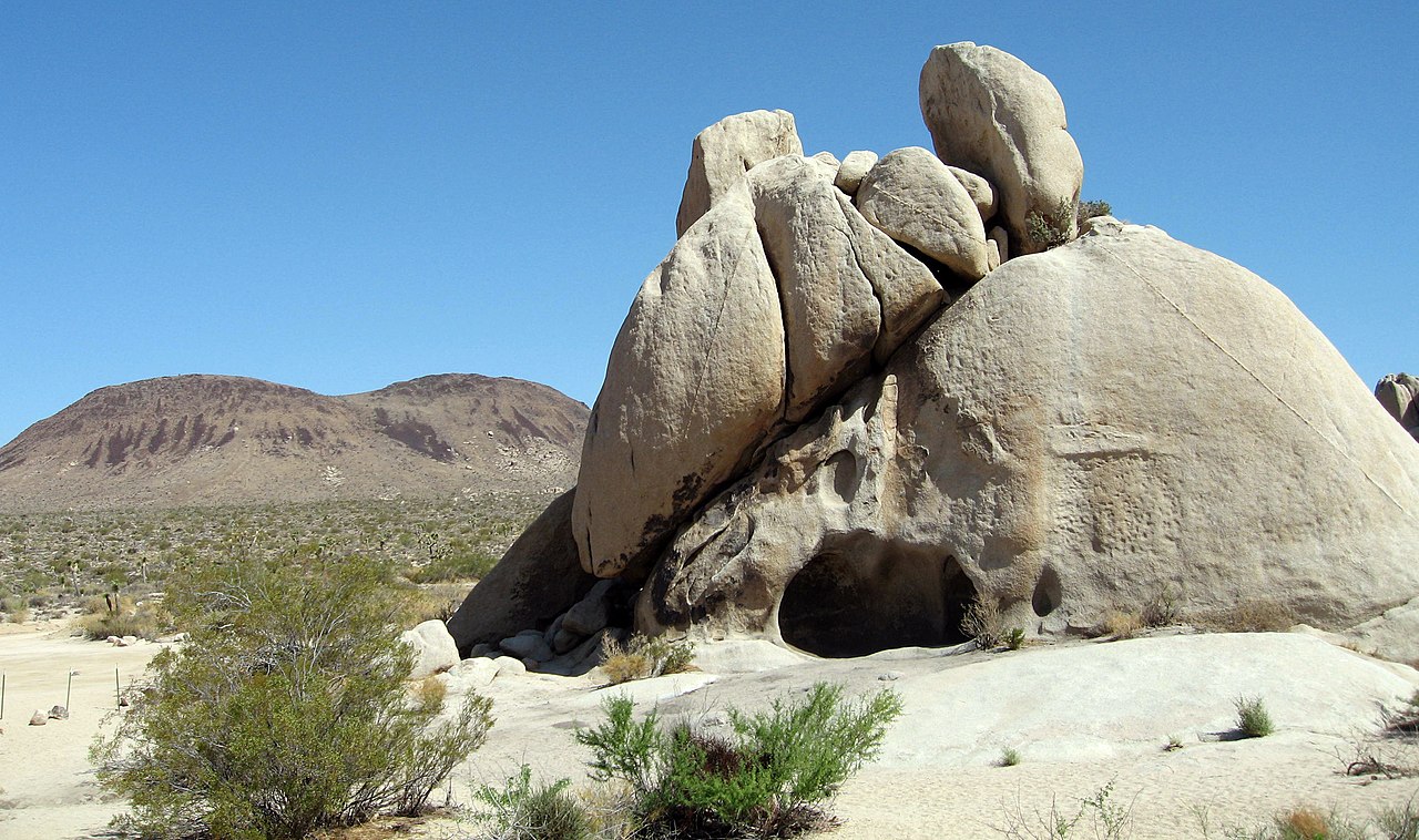 Malapai HillSummit · ~1h 3m drivePhoto: Joshua Tree National Park, Public domain (via Wikimedia Commons)

