Slover Mountain
 Photo: Unknown authorUnknown author, Public domain (via Wikimedia Commons)
- 1,083 ft
- summit
- Oct–May
- best months
Slover Mountain is a summit in San Bernardino County, California, rising to about 1,083 feet. It sits roughly 1.2 miles from the town of Colton, making it an easy addition to a day spent in the Colton area. Spring and fall are the most comfortable times to visit. Typical averages from a nearby weather station show April highs around 75°F and October highs around 82°F, while July and August average in the mid-90s. Several other outdoor spots lie within a short drive. Lytle Creek, about 2.8 miles away, offers canoeing, and Warm Creek is about 4.3 miles off. For hiking, Hunter park path is about 4.5 miles away, and the Backyard climbing area is about 4.7 miles away.
Conditions and forecast
Daily highs and lows, wind and the chance of precipitation at the summit for the next 7 days, from the Open-Meteo model.
- Summit elevation
- 1,083 ft
Elevation from USGS 3D Elevation Program terrain data (about 10 m resolution).
We don't know of a mapped trail or route to the summit of Slover Mountain. Plan the approach with local maps, a guidebook or a local guide, and check conditions before you go.
Questions about Slover Mountain
How tall is Slover Mountain?
1,083 ft (330 m).
Is there a trail to the top of Slover Mountain?
We don't know of a mapped trail or route to the summit. Plan the approach with local maps, a guidebook or a local guide.
 Mount Jurupa2,221 ft · California1 route6.2 mi awayPhoto: Scottthezombie, CC BY-SA 4.0 (via Wikimedia Commons)
- Marshall Peak4,014 ft · California1 route10 mi away
- Pilot Rock5,242 ft · California1 route16 mi away
- Zanja Peak3,545 ft · California2 routes16 mi away
- Cram Peak4,165 ft · California1 route16 mi away
- Cleghorn Mountain5,334 ft · California2 routes16 mi away
- Lytle CreekCanoeing2.8 mi
- Warm CreekCanoeing4.3 mi
- Hunter park pathHiking4.5 mi
- The BackyardRock climbing4.7 mi
- Sandals HillsideRock climbing4.8 mi
- Slab City (Left)Rock climbing5.4 mi
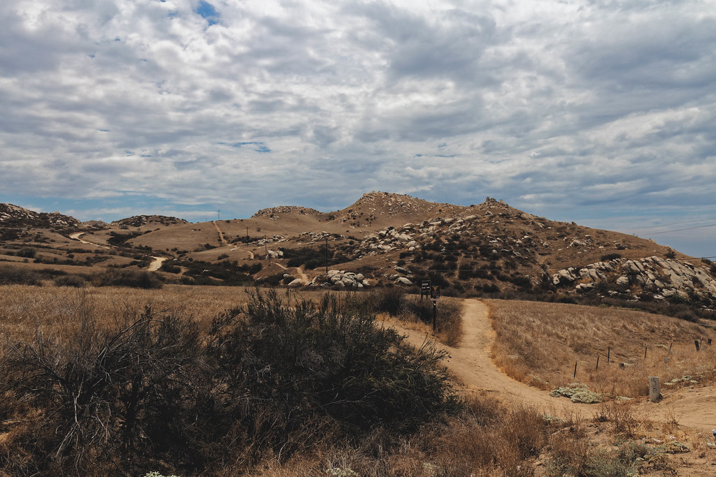 Skyline Loop # 2HikingPhoto: grimneko, CC BY-SA 2.0 (via Flickr)5.6 mi
- Jurupa Hills HikeHiking5.7 mi
Source: Roamze catalog (indexable pages within 10 miles, PostGIS distance)
- Mount JurupaSummit · ~11 min drivePhoto: Scottthezombie, CC BY-SA 4.0 (via Wikimedia Commons)
 Mount RubidouxSummit · ~11 min drivePhoto: No machine-readable author provided. Takwish assumed (based on copyright claims)., CC BY-SA 2.5 (via Wikimedia Commons)
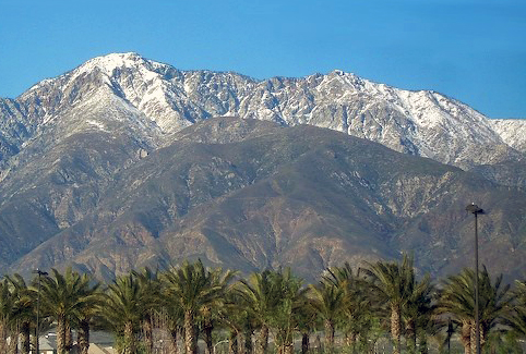 Cucamonga PeakSummit · ~30 min drivePhoto: Cliff Hutson; later cropping and color editing by Daniel Case., CC BY 2.0 (via Wikimedia Commons)
 Timber MountainSummit · ~33 min drivePhoto: Mitch Barrie (simonov), CC BY-SA 2.0 (via Wikimedia Commons)
 Pleasants PeakSummit · ~41 min drivePhoto: Northwalker, CC0 (via Wikimedia Commons)
 Trabuco PeakSummit · ~45 min drivePhoto: Don Ramey Logan, CC BY-SA 4.0 (via Wikimedia Commons)
 Iron MountainSummit · ~45 min drivePhoto: Self, CC BY 3.0 (via Wikimedia Commons)
 Modjeska PeakSummit · ~45 min drivePhoto: Justin Johnsen (Justin.Johnsen), CC BY-SA 3.0 (via Wikimedia Commons)
- Pilot RockSummit · ~27 min drive
- Zanja PeakSummit · ~27 min drive
Also worth it near here
- Skyline Loop # 2Hiking · ~10 min drivePhoto: grimneko, CC BY-SA 2.0 (via Flickr)
- Mountain View AvenueMountain biking · ~10 min drive
 Hardy Boy AreaRock climbing · ~10 min drivePhoto: nccmrm97, CC BY-SA 2.0 (via Flickr)
 Santa Ana RiverCanoeing · ~12 min drivePhoto: Basar, CC BY-SA 3.0 (via Wikimedia Commons)
Best time to visit Slover Mountain
Best months: October–May. Best months have typical highs of 55–85 °F, lows of 30 °F or warmer (32 °F where the station doesn't record snow), at most one snowy day and no more than 12 wet days.
Jan
70° / 44°
7 wet
Feb
70° / 45°
7 wet
Mar
72° / 47°
6 wet
Apr
75° / 50°
4 wet
May
80° / 55°
2 wet
Jun
87° / 58°
1 wet
Jul
94° / 63°
1 wet
Aug
97° / 64°
0 wet
Sep
93° / 61°
1 wet
Oct
82° / 55°
2 wet
Nov
76° / 47°
3 wet
Dec
69° / 43°
5 wet
Typical high / low (°F) and days with rain or snow, 1991–2020. Measured at Riverside Citrus Exp, CA, 6.9 mi away at 986 ft. Source: NOAA NCEI U.S. Climate Normals 1991–2020.
