
Mountain · 2 routes
Mount Whitney
14,492 ft · California
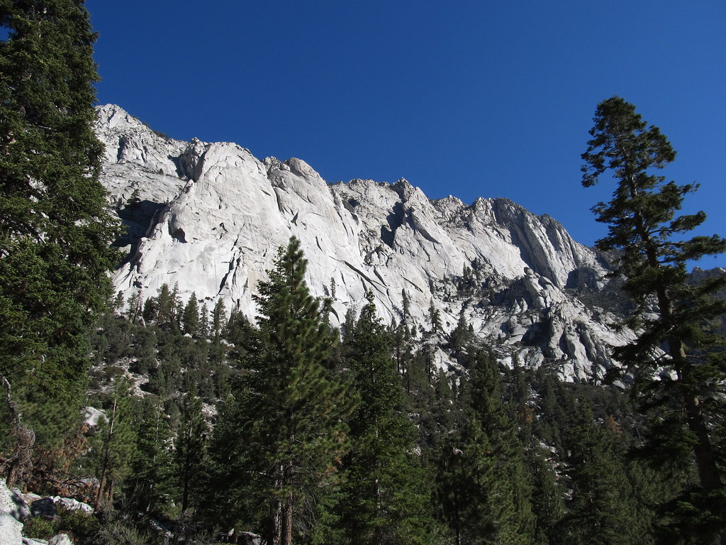
Photo: Geographer (talk · contribs), CC BY 1.0 (via Wikimedia Commons)
- Summit
- 14,492 ft
- Routes
- 2 ways up
- Managed by
- National Park Service
Routes up Mount Whitney
- Mount WhitneyExpertFrom Whitney Portal · about 7,332 ft of climbing21.4 mi round tripSee the route
- Mount WhitneyExpertabout 3,842 ft of climbing7.5 mi round tripSee the route
| Mount Whitney | Mount Whitney | |
|---|---|---|
| Starts at | Whitney Portal | — |
| Climbing | About 7,332 ft | About 3,842 ft |
| Round trip | 21.4 mi | 7.5 mi |
| Difficulty | Expert | Expert |
| Terrain | Hike | Hike |
About Mount Whitney
Mount Whitney is a summit in Tulare County, California, at about 14,492 feet. It sits in the John Muir Wilderness.
Forecast on Mount Whitney
Daily highs and lows, wind and the chance of precipitation at the summit and whitney portal for the next 7 days, from the Open-Meteo model.
Questions about Mount Whitney
How tall is Mount Whitney?
14,492 ft (4,417 m).
How many routes go to the summit of Mount Whitney?
2: Mount Whitney and Mount Whitney.
What is the shortest route up Mount Whitney?
Mount Whitney, about 7.5 mi round trip.
Where do the routes up Mount Whitney start?
Mount Whitney starts at Whitney Portal.
Mountains nearby
- Lewis Peak14,120 ft · California1 route0.4 mi away
 Mount Russell14,066 ft · California1 route0.9 mi awayPhoto: Will Beback at en.wikipedia, CC BY-SA 3.0 (via Wikimedia Commons)
 Mount Muir14,005 ft · California1 route0.9 mi awayPhoto: Poppy, CC BY-SA 3.0 (via Wikimedia Commons)
- Mount Carillon13,551 ft · California1 route1.2 mi away
- Discovery Pinnacle13,742 ft · California1 route1.4 mi away
- Mount Young13,177 ft · California1 route2.0 mi away
Facts about this place
Where it is
- John Muir Wilderness · Wilderness
- Sequoia National Park · National Park Service
- Nearest town
- Lone Pine, California · 12 mi
- Managed by
- National Park Service
Source: Wilderness.net boundaries; USGS PAD-US 4.1; USGS GNIS populated places
Nearby
 Mt. WhitneyRock climbingPhoto: Moo.The.Cow, CC BY 2.0 (via Flickr)0.1 mi
 Mt. RussellRock climbingPhoto: Don Graham from Redlands, CA, USA - God bless it!, CC BY-SA 2.0 (via Wikimedia Commons)0.8 mi
 Mt CarillonRock climbingPhoto: inkknife_2000 (7.5 million views +), CC BY-SA 2.0 (via Wikimedia Commons)1.2 mi
 North Fork Lone Pine CreekHikingPhoto: Ken Lund — CC BY-SA 2.0 (via Flickr)2.4 mi
 Mount CarillonHikingPhoto: Seth Tisue, CC BY-SA 2.0 (via Flickr)2.9 mi
- Mount YoungHikingPhoto: Seth Tisue, CC BY-SA 2.0 (via Flickr)2.9 mi
 Whitney Trailhead Walk In CampgroundCampingPhoto: Ken Lund — CC BY-SA 2.0 (via Flickr)3 mi
- Lone Pine Group CampgroundCamping3.4 mi
Source: Roamze catalog (indexable pages within 10 miles, PostGIS distance)
Permit by lottery · Mount Whitney
Next lottery expected to open Monday, February 1
For May 1 – November 1, 2027. Recreation.gov hasn't announced this date yet.
One lottery in February for day hikes and overnight trips from May through October. Dates nobody claims go on sale in late April.
Apply on Recreation.gov · Dates checked Oct 22
Get a permit
Mount Whitney (Whitney Zone) · overnight
Peak-season dates go by lottery first. Dates outside it book directly. Details
You book with Recreation.gov. Roamze doesn't take a cut.
