Stanford Sierra Camp
Campground
Campground · 1.5 mi from the trail
 Photo: simonov, CC BY-SA 2.0 (via Flickr)
Closure in the area
There's a closure order in Lake Tahoe Basin Management Unit. It doesn't name Floating Island Trail, so check the source for the area it covers.
Harmful Algal Blooms
Agency closure covering Lake Tahoe Basin Management Unit · USFS · Lake Tahoe Basin Management Unit
Desolation Wilderness Food and Refuse Storage (Bear Canister) Restriction
Agency alert covering Lake Tahoe Basin Management Unit · Order 19-25-06 · USFS · Lake Tahoe Basin Management Unit
Meyers Landfill Area Closure
Agency alert covering Lake Tahoe Basin Management Unit · Order 19-25-01 · USFS · Lake Tahoe Basin Management Unit
Campfire Restrictions
Agency alert covering Lake Tahoe Basin Management Unit · Order 19-24-04 · USFS · Lake Tahoe Basin Management Unit
Camping/Overnight Stay Restriction
Agency alert covering Lake Tahoe Basin Management Unit · Order 19-24-05 · USFS · Lake Tahoe Basin Management Unit
As of · Source: USFS · Lake Tahoe Basin Management Unit. Agencies don't list every closure — check before you go.
Floating Island Trail is a hard hike in California's Lake Tahoe Basin Management Unit, managed by the Forest Service. The route is an out-and-back of about 9.4 miles, with a one-way elevation gain of 2,382 feet. It starts at a low point of about 7,097 feet and climbs to a high of about 9,504 feet. The trail is a long, steep day. Plan for a significant climb, and expect the high point to sit well above the starting elevation. Several other outings lie close by. Cathedral Spur and the Floating Island / Mount Tallac Trail are each about a mile away. Fallen Leaf Campground is about 2.2 miles off, and Taylor Creek offers canoeing about 2 miles away.
Stanford Sierra Camp
Campground
Beacon Bar & Grill
Restaurant
Baldwin Home
Museum
Places © OpenStreetMap contributors
More in Sunnyside-Tahoe CityNot on Roamze yet. Their page has how to reach them.
 Photo: simonov, CC BY-SA 2.0 (via Flickr)
Cathedral Spur
~2 min drive
0.62-mile out-and-back trail in California's Cathedral Spur with 36 ft of elevation gain.
 Photo: simonov, CC BY-SA 2.0 (via Flickr)
Floating Island / Mount Tallac Trail
~2 min drive
1.28-mile out-and-back trail in California with 1,020 ft elevation gain
 Photo: bsterling, CC BY-SA 2.0 (via Flickr)
Tamarack Lake Trail
~3 min drive
5.64-mile out-and-back hike to Tamarack Lake in California.
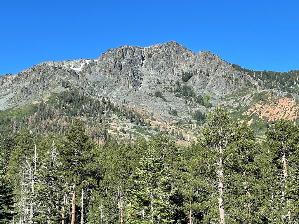 Photo: simonov, CC BY-SA 2.0 (via Flickr)
FLOATING ISLAND TRAIL
~2 min drive
2.92-mile out-and-back hike in California with 741 ft gain and 7,098 ft max elevation.
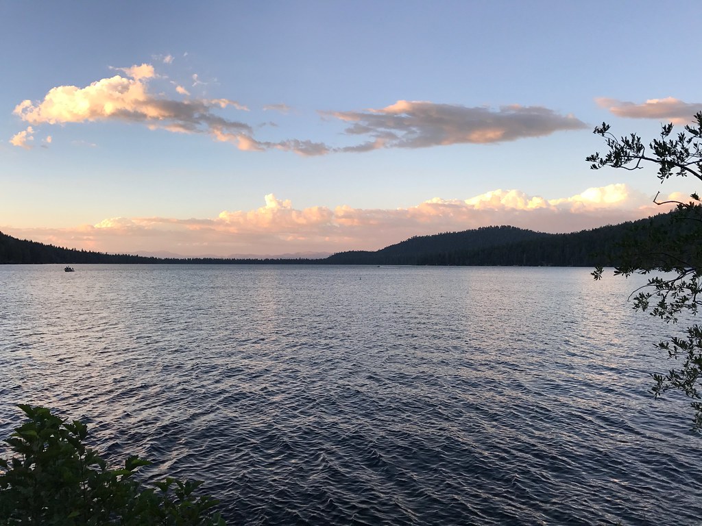 Photo: bsterling, CC BY-SA 2.0 (via Flickr)
Cathedral Trail
~2 min drive
2.40-mile out-and-back hike in California with 1,465 ft of elevation gain.
 Photo: Scorewith German, CC BY 3.0 (via Wikimedia Commons)
Lily Lake Trail
~4 min drive
3.72-mile out-and-back hike in California with 3,015 ft gain/loss.
Photo: simonov, CC BY-SA 2.0 (via Flickr)Moraine Trail
~3 min drive
Moraine Trail is a 1.00-mile out-and-back trail in California with 89 feet of elevation gain.
 Photo: Scorewith German, CC BY 3.0 (via Wikimedia Commons)
Angora Lake Trail
~4 min drive
2.00-mile out-and-back trail in California with 149 ft gain
Photo: Scorewith German, CC BY 3.0 (via Wikimedia Commons)Angora Ridge Trail
~4 min drive
5.74-mile out-and-back hike in California with 1,707 ft elevation gain and loss.
 Photo: mlinksva, Public Domain Dedication (CC0) (via Flickr)
Rock Garden Trail
~3 min drive
2.44-mile out-and-back hike in California with 56 ft of elevation gain.


