Mount Hough
- 7,237 ft
- summit
- 1
- way up
Is Mount Hough open right now?
Alert in the area
The Forest Service lists an alert for Plumas National Forest.
Stage I Fire Restrictions - Plumas National Forest
Agency alert covering Plumas National Forest · Order 05-11-26-04 · USFS · Plumas National Forest
As of · Source: USFS · Plumas National Forest. Agencies don't list every closure — check before you go.
Mount Hough is a summit in the Mt. Hough Ranger District of Plumas National Forest in California, about 2.7 miles from the town of Taylorsville. Several routes and spots sit right around the peak. The Mount Hough Summit Connector hike is about 0.1 mile away, and the Crystal Lake climbing area is about 0.2 mile away. The Mt Hough Ridge hike is roughly 0.3 mile off. For an overnight base, Spanish Creek Campground lies about 4.3 miles away.
Conditions and forecast
Daily highs and lows, wind and the chance of precipitation at the summit and route start for the next 7 days, from the Open-Meteo model.
- Summit elevation
- 7,237 ft
Elevation from USGS 3D Elevation Program terrain data (about 10 m resolution).
Map © Mapbox © OpenStreetMap contributors Questions about Mount Hough
How tall is Mount Hough?
7,237 ft (2,206 m).
How many routes go to the summit of Mount Hough?
One: Mount Hough Summit Connector.
- Rush Creek Hill6,346 ft · California1 route12 mi away
- Spanish Peak7,015 ft · California1 route15 mi away
- Bucks Summit5,573 ft · California3 routes16 mi away
- Chimney Rock5,975 ft · California1 route19 mi away
- Grass Valley Bald Mountain6,262 ft · California1 route21 mi away
- Table Mountain6,099 ft · California1 route21 mi away
- Mount Hough Summit ConnectorHiking0.1 mi
- Crystal LakeRock climbing0.2 mi
- MT HOUGH RIDGEHiking0.3 mi
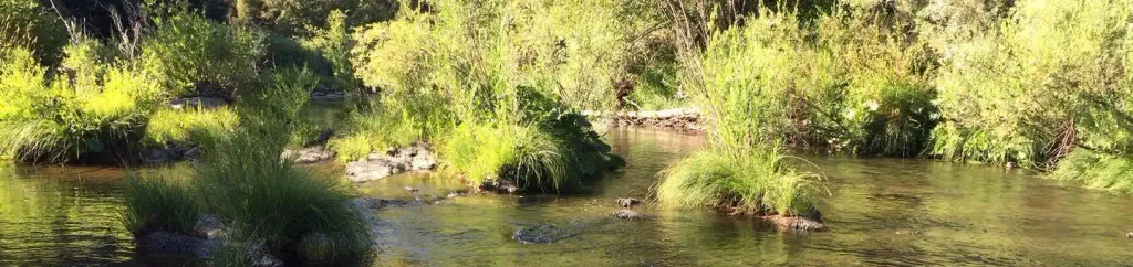 Spanish Creek CampgroundCampingPhoto: Recreation.gov (RIDB) / public domain4.3 mi
- Spanish Creek (Family Cg)Camping4.4 mi
- Greenhorn CreekCanoeing8.5 mi
- Hosselkus CreekCanoeing8.5 mi
- The MoonRock climbing9.8 mi
Source: Roamze catalog (indexable pages within 10 miles, PostGIS distance)
 Sierra ButtesSummit · ~58 min drivePhoto: Yngvadottir, CC BY-SA 4.0 (via Wikimedia Commons)
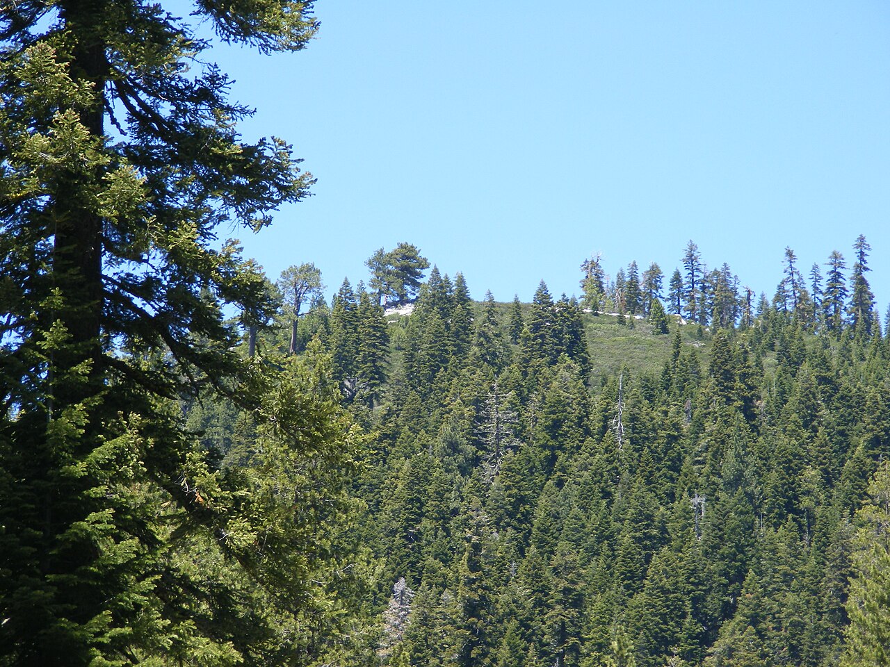 Schroeder MountainSummit · ~59 min drivePhoto: Pmschroeder, CC BY-SA 3.0 (via Wikimedia Commons)
 Mount HarknessSummit · ~59 min drivePhoto: LassenNPS, Public domain (via Wikimedia Commons)
 Bald Rock DomeSummit · ~1h drivePhoto: Derek Wolfgram from San Jose, CA, CC BY 2.0 (via Wikimedia Commons)
 Cinder ConeSummit · ~1h 11m drivePhoto: DimiTalen, CC BY-SA 3.0 (via Wikimedia Commons)
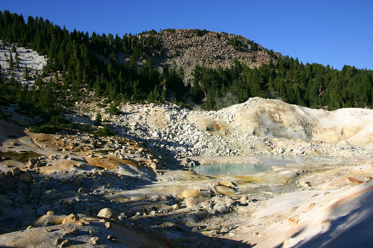 Bumpass MountainSummit · ~1h 14m drivePhoto: Genista Kai Schreiber, CC BY-SA 2.0 (via Wikimedia Commons)
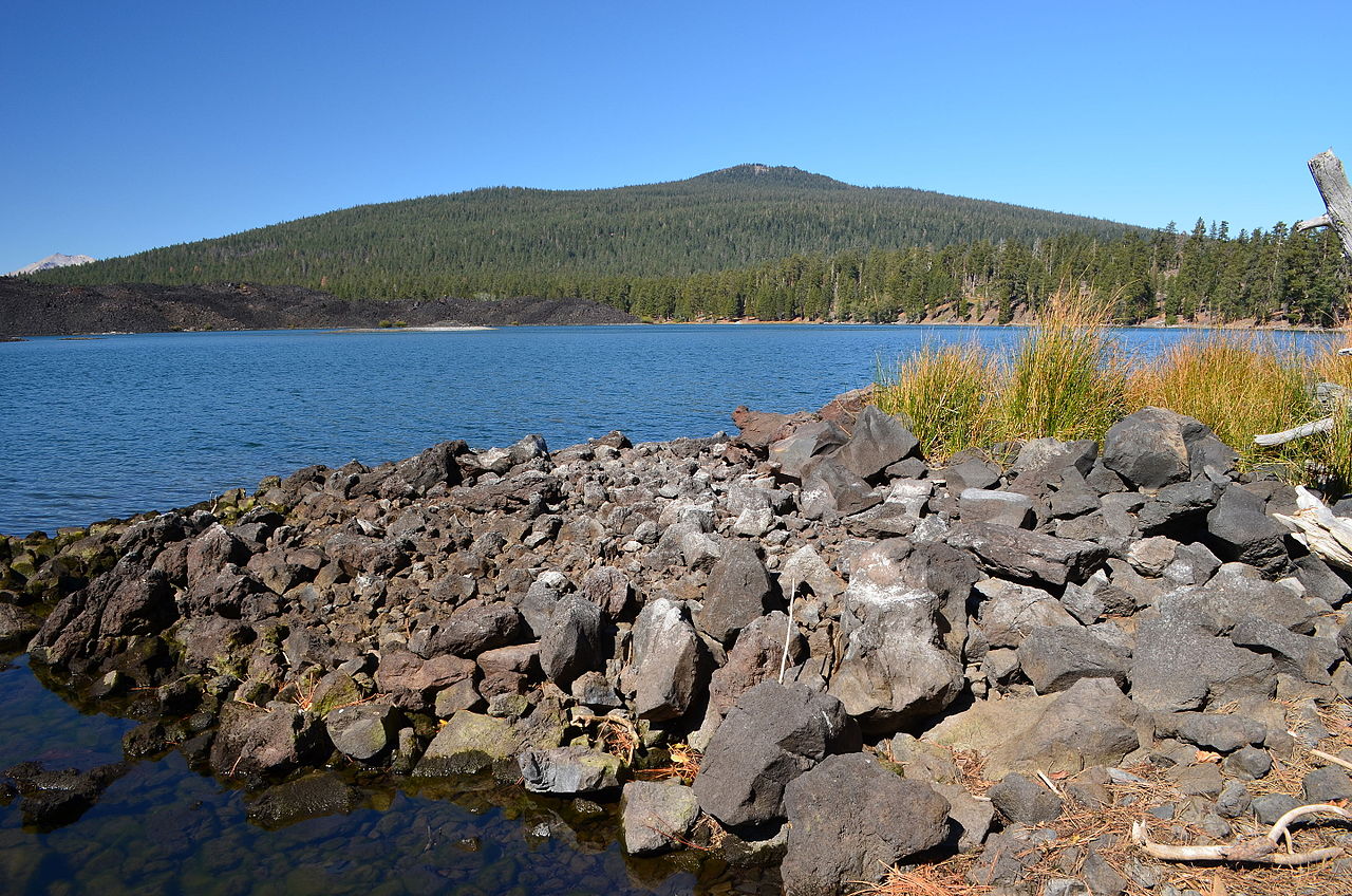 Prospect PeakSummit · ~1h 15m drivePhoto: LassenNPS, Public domain (via Wikimedia Commons)
 Lassen PeakSummit · ~1h 17m drivePhoto: Frank Schulenburg, CC BY-SA 4.0 (via Wikimedia Commons)
 Pilot PinnacleSummit · ~1h 17m drivePhoto: LassenNPS, Public domain (via Wikimedia Commons)
 Brokeoff MountainSummit · ~1h 17m drivePhoto: LassenNPS, Public domain (via Wikimedia Commons)
