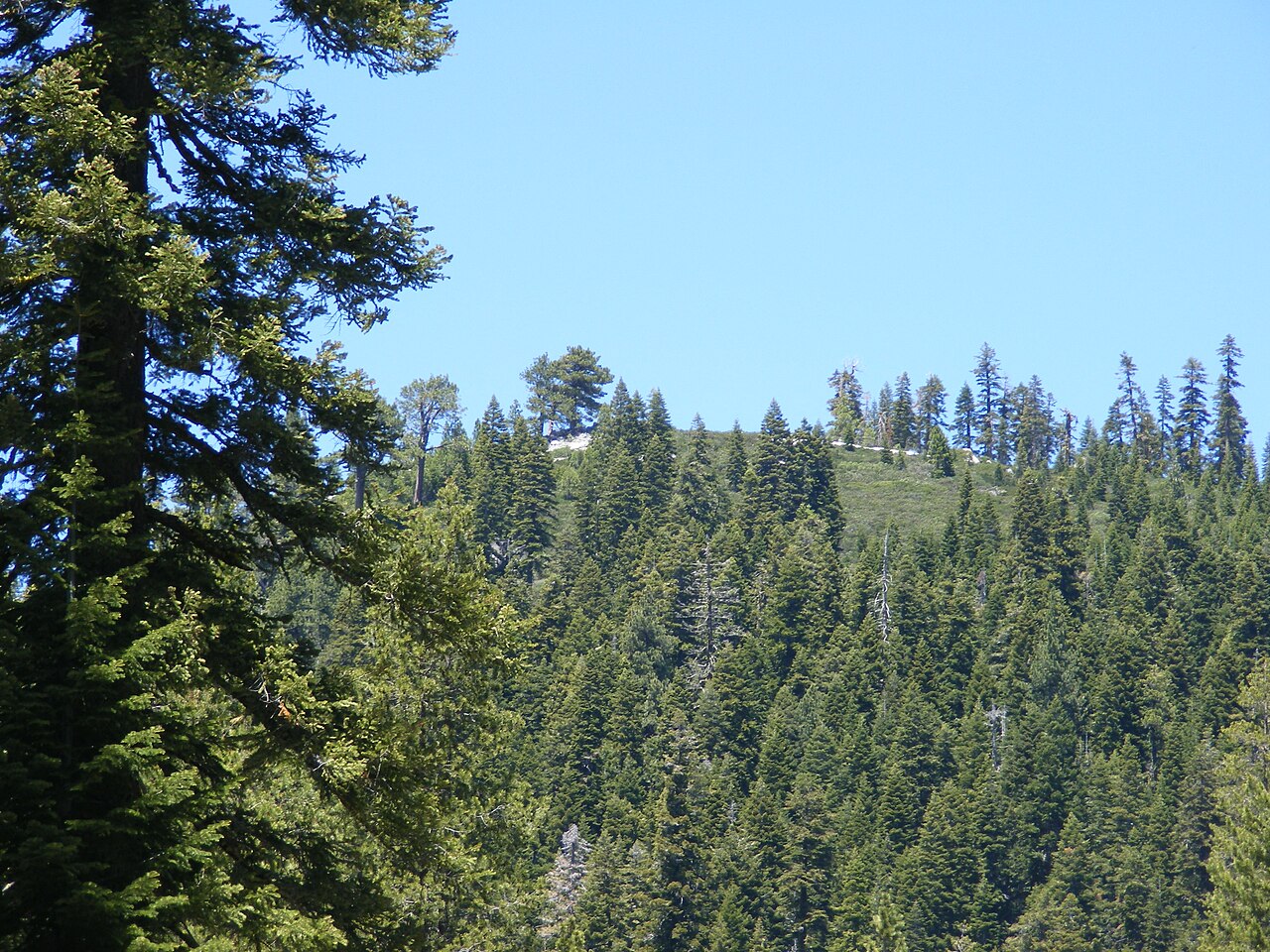
Bald Rock Dome
 Photo: Derek Wolfgram from San Jose, CA, CC BY 2.0 (via Wikimedia Commons)
- 3,410 ft
- summit
- Forest Service
- managed by
- Apr–Nov
- best months
Is Bald Rock Dome open right now?
Closure in the area
There's a closure order in Feather River Ranger District. It doesn't name Bald Rock Dome, so check the source for the area it covers (2 listed).
Rogers Cow Camp Area Closure
Agency closure covering Feather River Ranger District · Order 05-11-03-26-02 · USFS · Feather River Ranger District
Golden Trout Campground Closing for Season August 2, 2026 at 2 p.m.
Agency closure covering Feather River Ranger District · Order 05-11-03-26-01 · USFS · Feather River Ranger District
Stage I Fire Restrictions - Plumas National Forest
Agency alert covering Plumas National Forest · Order 05-11-26-04 · USFS · Plumas National Forest
As of · Source: USFS · Feather River Ranger District. Agencies don't list every closure — check before you go.
Bald Rock Dome is a summit of 3,410 feet in the Feather River Ranger District of Plumas National Forest in California, about 5 miles from the town of Berry Creek. The Forest Service manages the surrounding land. Late spring and early fall are the most comfortable times to visit. Typical averages from the nearby Strawberry Valley weather station show May highs around 68°F and September highs around 80°F, with only a few wet days in each month. July and August run warmer, with highs near 85°F, while winter brings highs around 50°F and about 12 wet days a month. The Bald Rock Picnic Area and the Main Area climbing areas both sit about 2 miles away. Frey Creek, a canoeing spot, is about 3 miles off, and the Feather Falls Trail is roughly 3.6 miles away.
Conditions and forecast
Daily highs and lows, wind and the chance of precipitation at the summit for the next 7 days, from the Open-Meteo model.
- Summit elevation
- 3,410 ft
- Land manager
- Forest Service
Elevation from USGS 3D Elevation Program terrain data (about 10 m resolution).
We don't know of a mapped trail or route to the summit of Bald Rock Dome. Plan the approach with local maps, a guidebook or a local guide, and check conditions before you go.
Questions about Bald Rock Dome
How tall is Bald Rock Dome?
3,410 ft (1,039 m).
Is there a trail to the top of Bald Rock Dome?
We don't know of a mapped trail or route to the summit. Plan the approach with local maps, a guidebook or a local guide.
- Table Mountain6,099 ft · California1 route15 mi away
- Grass Valley Bald Mountain6,262 ft · California1 route19 mi away
- Bucks Summit5,573 ft · California3 routes20 mi away
- Chimney Rock5,975 ft · California1 route20 mi away
- Spanish Peak7,015 ft · California1 route22 mi away
- Needle Point7,126 ft · California1 route27 mi away
- Bald Rock Picnic AreaRock climbing2 mi
- Main AreaRock climbing2 mi
- Frey CreekCanoeing3.1 mi
 Feather Falls TrailHikingPhoto: ray_explores, CC BY 2.0 (via Flickr)3.6 mi
- FEATHER FALLS UPPERHikingPhoto: ray_explores, CC BY 2.0 (via Flickr)3.6 mi
- Berry CreekCanoeing4.4 mi
- Golden Trout CrossingCamping8.9 mi
- Little North Fork (Family Cg)Camping9.2 mi
Source: Roamze catalog (indexable pages within 10 miles, PostGIS distance)
 Gold HillSummit · ~57 min drivePhoto: Cullen328, CC BY-SA 4.0 (via Wikimedia Commons)
 Sierra ButtesSummit · ~1h 1m drivePhoto: Yngvadottir, CC BY-SA 4.0 (via Wikimedia Commons)
 Schroeder MountainSummit · ~1h 11m drivePhoto: Pmschroeder, CC BY-SA 3.0 (via Wikimedia Commons)
- Grass Valley Bald MountainSummit · ~32 min drive
- Bucks SummitSummit · ~34 min drive
- Chimney RockSummit · ~35 min drive
- Needle PointSummit · ~47 min drive
- Rush Creek HillSummit · ~52 min drive
- Ophir HillSummit · ~58 min drive
- Mount HoughSummit · ~1h drive
Also worth it near here
Best time to visit Bald Rock Dome
Best months: April–November. Best months have typical highs of 55–85 °F, lows of 30 °F or warmer (32 °F where the station doesn't record snow), at most one snowy day and no more than 12 wet days.
Jan
51° / 30°
13 wet
Feb
51° / 30°
12 wet
Mar
54° / 32°
12 wet
Apr
59° / 35°
9 wet
May
68° / 42°
7 wet
Jun
77° / 48°
3 wet
Jul
85° / 53°
1 wet
Aug
85° / 51°
1 wet
Sep
80° / 48°
2 wet
Oct
70° / 41°
5 wet
Nov
57° / 34°
9 wet
Dec
50° / 30°
12 wet
Typical high / low (°F) and days with rain or snow, 1991–2020. Measured at Strawberry Valley, CA, 12.5 mi away at 3,808 ft. This station doesn't record snowfall. Source: NOAA NCEI U.S. Climate Normals 1991–2020.

