Brokeoff Mountain
 Photo: LassenNPS, Public domain (via Wikimedia Commons)
- 9,236 ft
- summit
- 1
- way up
- National Park Service
- managed by
Is Brokeoff Mountain open right now?
Closure in the area
There's a closure order in Lassen Volcanic National Park. It doesn't name Brokeoff Mountain, so check the source for the area it covers.
Lassen National Park Highway Closed to Vehicle Traffic
Park closure covering Lassen Volcanic National Park · NPS · Lassen Volcanic National Park
As of · Source: NPS · Lassen Volcanic National Park. Agencies don't list every closure — check before you go.
Brokeoff Mountain is a summit in Lassen Volcanic National Park in northern California. It sits within the Lassen Volcanic Wilderness, and the nearest town is Mineral, about 3 miles away. The National Park Service manages the land, so national park and wilderness regulations apply on the mountain. Most visitors reach the peak on foot, and the Brokeoff Mountain Trail starts about 1.6 miles from the summit. Two short hikes lie close by. Ridge Lakes Trail and Heart Lake NRT are each about 1.3 miles from the summit. Climbers can head to Eagle Peak, roughly 2.9 miles away. For an overnight stay, Rocky Knoll campground is about 3.7 miles off.
Conditions and forecast
Daily highs and lows, wind and the chance of precipitation at the summit and brokeoff mountain trailhead for the next 7 days, from the Open-Meteo model.
- Summit elevation
- 9,236 ft
- Land manager
- National Park Service
Elevation from USGS 3D Elevation Program terrain data (about 10 m resolution).
Map © Mapbox © OpenStreetMap contributors Questions about Brokeoff Mountain
How tall is Brokeoff Mountain?
9,236 ft (2,815 m).
How many routes go to the summit of Brokeoff Mountain?
One: Brokeoff Mountain Trail.
Where do the routes up Brokeoff Mountain start?
Brokeoff Mountain Trail starts at Brokeoff Mountain Trailhead.
 Lassen Peak10,450 ft · California1 route4.1 mi awayPhoto: Frank Schulenburg, CC BY-SA 4.0 (via Wikimedia Commons)
- Turner Mountain6,896 ft · California1 route11 mi away
 Mount Harkness8,051 ft · California1 route14 mi awayPhoto: LassenNPS, Public domain (via Wikimedia Commons)
- Inspiration Point7,202 ft · California1 route14 mi away
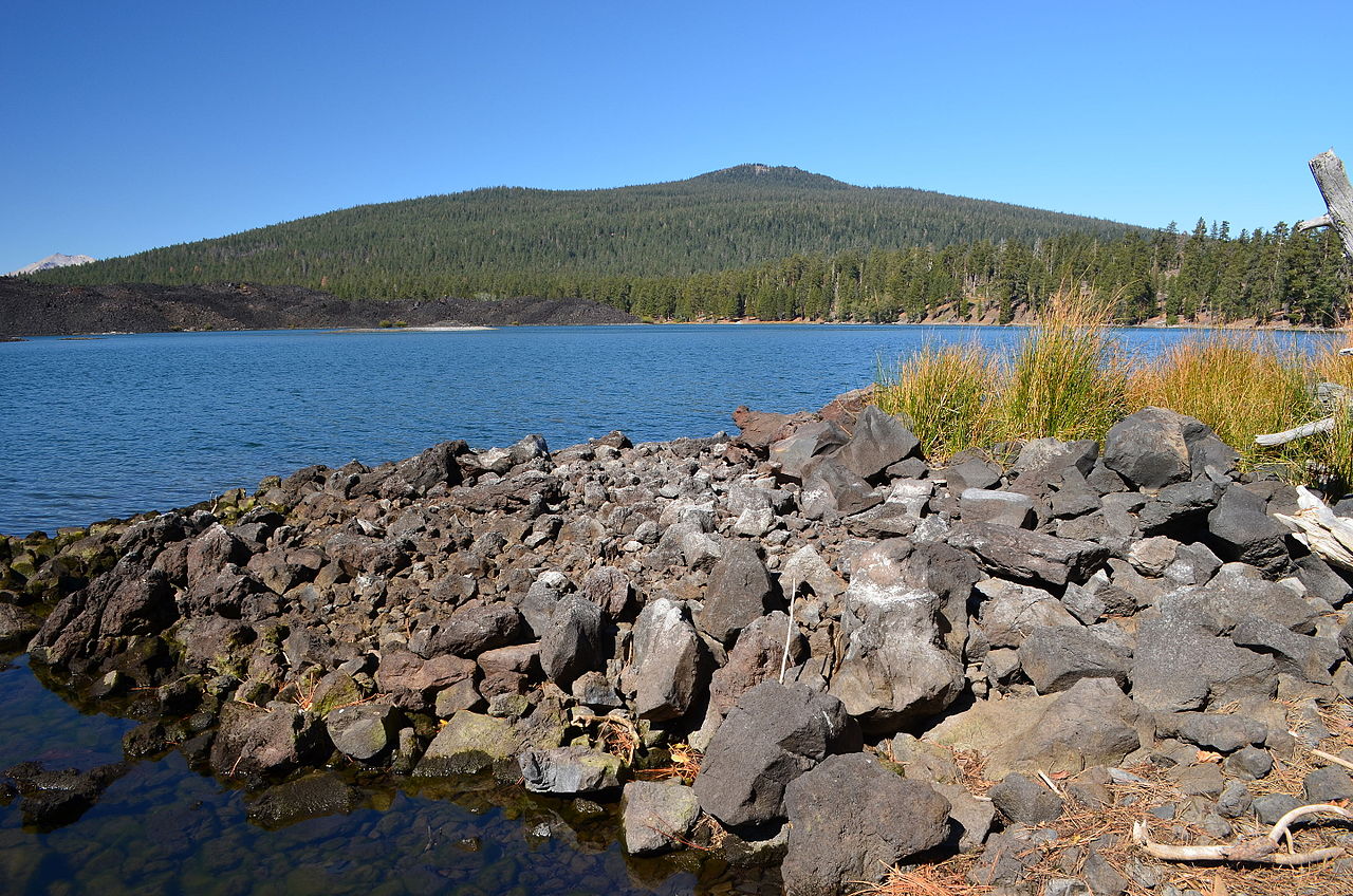 Prospect Peak8,341 ft · California1 route14 mi awayPhoto: LassenNPS, Public domain (via Wikimedia Commons)
 Cinder Cone6,909 ft · California3 routes15 mi awayPhoto: DimiTalen, CC BY-SA 3.0 (via Wikimedia Commons)
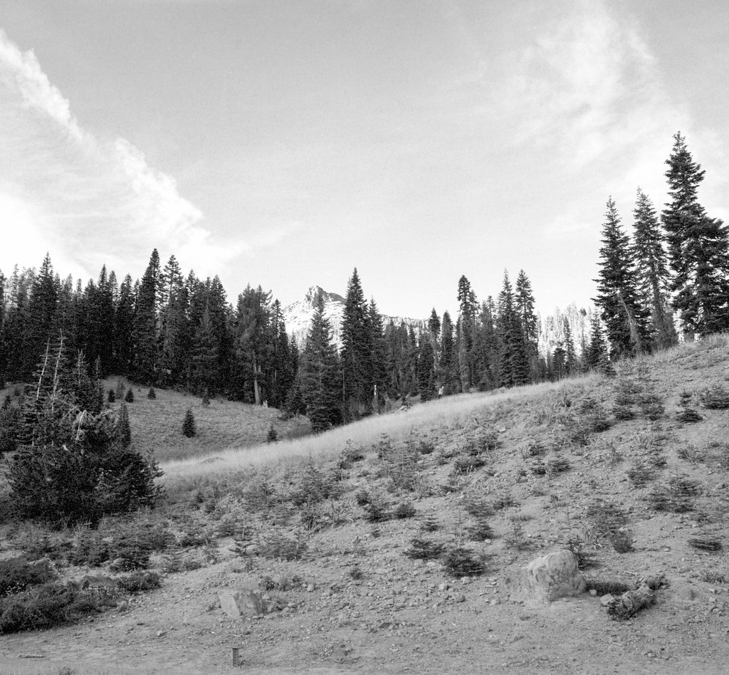 Ridge Lakes TrailHikingPhoto: nonbinaryanalog, CC BY-SA 2.0 (via Flickr)1.3 mi
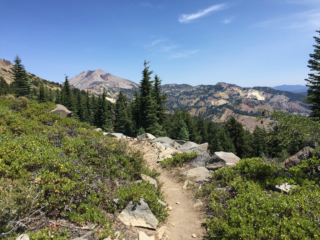 HEART LAKE NRTHikingPhoto: ray_explores, CC BY 2.0 (via Flickr)1.3 mi
- Brokeoff Mountain TrailHiking1.6 mi
- Eagle PeakRock climbing2.9 mi
- Rick's Boulder aka The BeakRock climbing3 mi
- Left of PeapodRock climbing3 mi
- Rocky KnollCamping3.7 mi
- Manzanita Lake Group CampgroundCamping5.8 mi
Source: Roamze catalog (indexable pages within 10 miles, PostGIS distance)
 Pilot PinnacleSummit · ~4 min drivePhoto: LassenNPS, Public domain (via Wikimedia Commons)
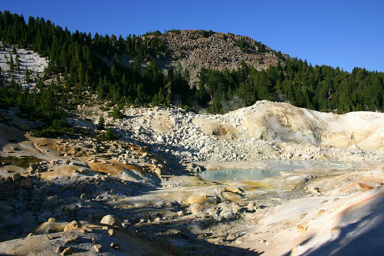 Bumpass MountainSummit · ~6 min drivePhoto: Genista Kai Schreiber, CC BY-SA 2.0 (via Wikimedia Commons)
- Lassen PeakSummit · ~7 min drivePhoto: Frank Schulenburg, CC BY-SA 4.0 (via Wikimedia Commons)
 Chaos CragsSummit · ~10 min drivePhoto: CC BY 2.5 (via Wikimedia Commons)
 Badger MountainSummit · ~19 min drivePhoto: Clyde Charles Brown, CC BY-SA 4.0 (via Wikimedia Commons)
- Mount HarknessSummit · ~23 min drivePhoto: LassenNPS, Public domain (via Wikimedia Commons)
- Prospect PeakSummit · ~25 min drivePhoto: LassenNPS, Public domain (via Wikimedia Commons)
- Cinder ConeSummit · ~25 min drivePhoto: DimiTalen, CC BY-SA 3.0 (via Wikimedia Commons)
 Burney MountainSummit · ~43 min drivePhoto: Ixfd64, CC BY-SA 4.0 (via Wikimedia Commons)
 Dow ButteSummit · ~1h 15m drivePhoto: Clyde Charles Brown, CC BY-SA 4.0 (via Wikimedia Commons)
Also worth it near here

