Mt Hough Ridge
- 0.8 mi
- round trip
- 390 ft
- climb
- 7,029 ft
- high point
- Out and back
- route
Is MT HOUGH RIDGE open right now?
Alert in the area
The Forest Service lists an alert for Plumas National Forest.
Stage I Fire Restrictions - Plumas National Forest
Agency alert covering Plumas National Forest · Order 05-11-26-04 · USFS · Plumas National Forest
As of · Source: USFS · Plumas National Forest. Agencies don't list every closure — check before you go.
Mt Hough Ridge is a short, easy out-and-back hike in the Mt. Hough Ranger District of Plumas National Forest in California, managed by the Forest Service. The route starts at the Mt Hough Trailhead and covers about 1.6 miles, with a total elevation gain of 390 feet from a low point of 6,849 feet to a high point of 7,029 feet. The steepest part of the climb, a 15% grade, comes about half a mile in. The round trip involves roughly equal gain and loss. The Mount Hough Trail lies just 0.1 mile away and the Mount Hough Summit Connector about 0.3 mile, and the Crystal Lake climbing area is also within about a third of a mile. Spanish Creek Campground sits about 4.3 miles off for anyone planning an overnight stay.
- Mount Hough TrailHiking0.1 mi
- Mount Hough Summit ConnectorHiking0.3 mi
- Crystal LakeRock climbing0.3 mi
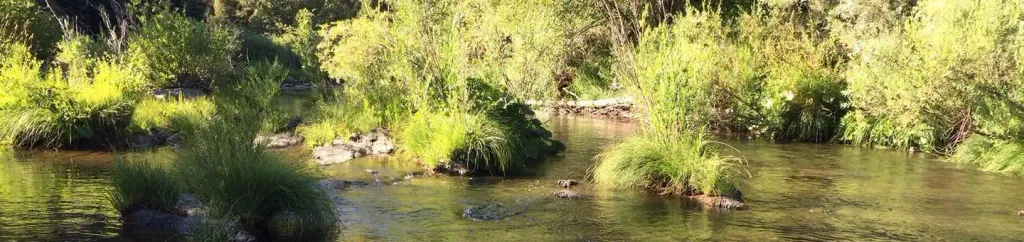 Spanish Creek CampgroundCampingPhoto: Recreation.gov (RIDB) / public domain4.3 mi
- Spanish Creek (Family Cg)Camping4.3 mi
- Hosselkus CreekCanoeing8.6 mi
- Wolf CreekCanoeing8.6 mi
- The MoonRock climbing9.5 mi
Source: Roamze catalog (indexable pages within 10 miles, PostGIS distance)
- Mount Hough Summit ConnectorHiking · Next door
- Tollgate TrailHiking · Next door
- 10M29 TRAILHiking · ~2 min drive
- Taylor Creek TrailHiking · ~6 min drive
- CLEAR CREEK CONNECTORHiking · ~3 min drive
- Clear Creek TrailHiking · ~3 min drive
- Cascade TrailHiking · ~7 min drive
- King's Crossing TrailHiking · ~6 min drive
- Indian Falls Ridge 2Hiking · ~3 min drive
- TAYLOR CREEKHiking · ~9 min drive
