Grass Valley Bald Mountain
- 6,262 ft
- summit
- 1
- way up
- Apr–Oct
- best months
Is Grass Valley Bald Mountain open right now?
Closure in the area
There's a closure order in Feather River Ranger District. It doesn't name Grass Valley Bald Mountain, so check the source for the area it covers (2 listed).
Rogers Cow Camp Area Closure
Agency closure covering Feather River Ranger District · Order 05-11-03-26-02 · USFS · Feather River Ranger District
Golden Trout Campground Closing for Season August 2, 2026 at 2 p.m.
Agency closure covering Feather River Ranger District · Order 05-11-03-26-01 · USFS · Feather River Ranger District
Stage I Fire Restrictions - Plumas National Forest
Agency alert covering Plumas National Forest · Order 05-11-26-04 · USFS · Plumas National Forest
As of · Source: USFS · Feather River Ranger District. Agencies don't list every closure — check before you go.
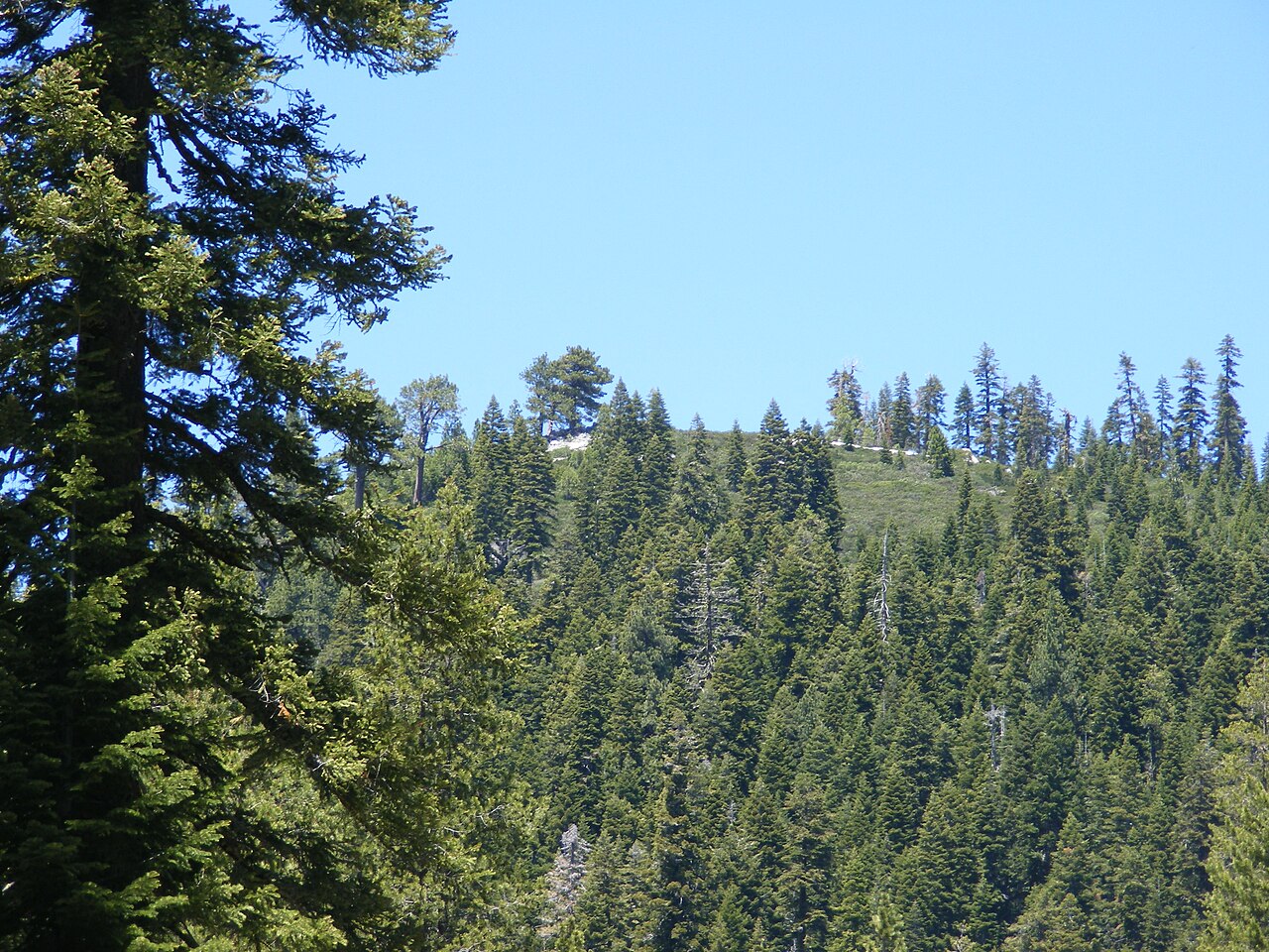
Grass Valley Bald Mountain is a summit of 6,262 feet in the Feather River Ranger District of Plumas National Forest in California, about 2.4 miles from the community of Little Grass Valley. Summer is the most comfortable time to visit. Typical averages from the nearby Bowman Dam weather station, which sits about 877 feet lower, show July highs around 82°F with lows near 54°F, while winter highs there hover in the mid-40s. Several trails and camps lie close by. The Bald Mountain PCT Tie and Tooms RV Camp are each about 0.6 miles away, the Bald Mountain Trail is about a mile off, and the Pacific Crest National Scenic Trail #2000 passes within about 1.4 miles.
Conditions and forecast
Daily highs and lows, wind and the chance of precipitation at the summit and route start for the next 7 days, from the Open-Meteo model.
- Summit elevation
- 6,262 ft
Elevation from USGS 3D Elevation Program terrain data (about 10 m resolution).
Map © Mapbox © OpenStreetMap contributors Questions about Grass Valley Bald Mountain
How tall is Grass Valley Bald Mountain?
6,262 ft (1,909 m).
How many routes go to the summit of Grass Valley Bald Mountain?
One: BALD MOUNTAIN TRAIL.
- Chimney Rock5,975 ft · California1 route1.7 mi away
- Table Mountain6,099 ft · California1 route5.2 mi away
- Needle Point7,126 ft · California1 route11 mi away
- Bucks Summit5,573 ft · California3 routes12 mi away
- Spanish Peak7,015 ft · California1 route15 mi away
- Millis Peak7,337 ft · California2 routes19 mi away
- BALD MOUNTAIN PCT TIEHiking0.6 mi
- Tooms RV CampCamping0.6 mi
- BALD MOUNTAIN TRAILHiking1 mi
- Pacific Crest National Scenic Trail #2000Hiking1.4 mi
- Little Grass Valley Reservoir Recreation AreaCamping1.9 mi
- Red Feather CaliforniaCamping2.1 mi
- Onion Valley CreekCanoeing3 mi
- East Branch Slate CreekCanoeing5.2 mi
Source: Roamze catalog (indexable pages within 10 miles, PostGIS distance)
 Bald Rock DomeSummit · ~32 min drivePhoto: Derek Wolfgram from San Jose, CA, CC BY 2.0 (via Wikimedia Commons)
 Sierra ButtesSummit · ~36 min drivePhoto: Yngvadottir, CC BY-SA 4.0 (via Wikimedia Commons)
 Schroeder MountainSummit · ~44 min drivePhoto: Pmschroeder, CC BY-SA 3.0 (via Wikimedia Commons)
 Gold HillSummit · ~1h 5m drivePhoto: Cullen328, CC BY-SA 4.0 (via Wikimedia Commons)
 Castle PeakSummit · ~1h 14m drivePhoto: MiguelVieira, CC BY 2.0 (via Wikimedia Commons)
 Donner PeakSummit · ~1h 21m drivePhoto: Ken Lund, CC BY-SA 2.0 (via Wikimedia Commons)
 Crystal PeakSummit · ~1h 25m drivePhoto: igloo22225, CC BY-SA 4.0 (via Wikimedia Commons)
 Mount HarknessSummit · ~1h 25m drivePhoto: LassenNPS, Public domain (via Wikimedia Commons)
- Chimney RockSummit · ~3 min drive
- Needle PointSummit · ~19 min drive
Also worth it near here
Best time to visit Grass Valley Bald Mountain
Best months: April–October. Best months have typical highs of 55–85 °F, lows of 30 °F or warmer (32 °F where the station doesn't record snow), at most one snowy day and no more than 12 wet days.
Jan
46° / 29°
Feb
47° / 28°
Mar
49° / 30°
Apr
55° / 33°
May
64° / 40°
Jun
73° / 47°
Jul
82° / 54°
Aug
81° / 54°
Sep
77° / 51°
Oct
66° / 42°
Nov
54° / 34°
Dec
45° / 29°
Typical high / low (°F) and days with rain or snow, 1991–2020. Measured at Bowman Dam, CA, 27.1 mi away at 5,385 ft. The station sits about 900 ft lower than this place, so expect it a little cooler here. This station doesn't record snowfall. Source: NOAA NCEI U.S. Climate Normals 1991–2020.

