Mount Hough Trail
- 4.0 mi
- round trip
- 1,285 ft
- climb
- Singletrack
- surface
- Out and back
- route
Is Mount Hough Trail open right now?
Alert in the area
The Forest Service lists an alert for Plumas National Forest.
Stage I Fire Restrictions - Plumas National Forest
Agency alert covering Plumas National Forest · Order 05-11-26-04 · USFS · Plumas National Forest
As of · Source: USFS · Plumas National Forest. Agencies don't list every closure — check before you go.
Mount Hough Trail is a mountain biking route in the Mt. Hough Ranger District of Plumas National Forest in California, managed by the Forest Service. The trail is an out-and-back that starts at about 5,728 feet and climbs to about 6,982 feet, with a total elevation gain of 1,285 feet over a round-trip distance of about 7.9 miles. It is rated hard. The trail sits close to several other destinations. Mt. Hough Ridge and the Mount Hough Summit Connector are both within a third of a mile, and the Crystal Lake climbing area is about 0.3 miles away. Spanish Creek Campground is about 4.3 miles off.
- MT HOUGH RIDGEHiking0.1 mi
- Mount Hough Summit ConnectorHiking0.3 mi
- Crystal LakeRock climbing0.3 mi
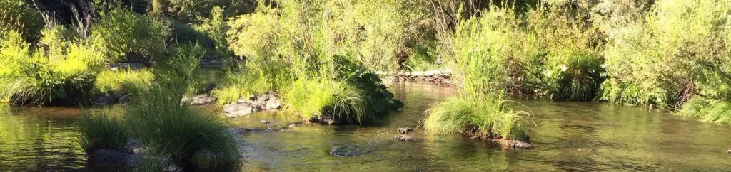 Spanish Creek CampgroundCampingPhoto: Recreation.gov (RIDB) / public domain4.3 mi
- Spanish Creek (Family Cg)Camping4.3 mi
- Hosselkus CreekCanoeing8.6 mi
- Wolf CreekCanoeing8.6 mi
- The MoonRock climbing9.5 mi
Source: Roamze catalog (indexable pages within 10 miles, PostGIS distance)
 Packer Lake Snowmobile TrMountain biking · ~56 min drivePhoto: Charlie Pankey, CC BY-SA 4.0 (via Wikimedia Commons)
- Mount Hough TrailMountain biking · ~4 min drive
- Jamison Creek TrailMountain biking · ~42 min drive
- Mills Peak TrailMountain biking · ~47 min drive
- Butcher Ranch TrailMountain biking · ~53 min drive
- Sardine Lake OverlookMountain biking · ~57 min drivePhoto: Charlie Pankey, CC BY-SA 4.0 (via Wikimedia Commons)
- Mount Hough TrailMountain biking · ~5 min drive
- Second Divide TrailMountain biking · ~53 min drive
- Third Divide TrailMountain biking · ~53 min drive
- Sand Pond InterpretiveMountain biking · ~57 min drivePhoto: Charlie Pankey, CC BY-SA 4.0 (via Wikimedia Commons)
Map and trail data © OpenStreetMap contributors
