Ryan Mountain Campground
Campground
Sites open the weekend of Nov 20 on Recreation.gov
 Photo: Farragutful, CC BY-SA 4.0 (via Wikimedia Commons)
Alert in the area
The National Park Service lists 2 alerts for Joshua Tree National Park.
Inaccurate Third-Party Apps
Park alert covering Joshua Tree National Park · NPS · Joshua Tree National Park
Oasis of Mara Trail Partial Closure
Park alert covering Joshua Tree National Park · NPS · Joshua Tree National Park
As of · Source: NPS · Joshua Tree National Park. Agencies don't list every closure — check before you go.
Keys View is a summit in Joshua Tree National Park, in Riverside County, California, standing at about 5,186 feet. The land is managed by the National Park Service, and the nearest town is Indio Hills, roughly 7 miles away. Several trailheads and climbing areas sit close by. Lost Horse Mine Trailhead is about 2 miles away, Stubbe Springs Loop Trail lies a little over 3 miles off, and the Cap Rock Area and Master Boulder climbing spots are both just over 4 miles from the summit.
Ryan Mountain Campground
Campground
 If it rainsJarek Tuszyński, CC BY 3.0 · Wikimedia Commons
Places © OpenStreetMap contributors, Places © Overture Maps Foundation · Photos: Jarek Tuszyński, CC BY 3.0 (commons)
More in CoachellaDaily highs and lows, wind and the chance of precipitation at the summit for the next 7 days, from the Open-Meteo model.
Elevation from USGS 3D Elevation Program terrain data (about 10 m resolution).
We don't know of a mapped trail or route to the summit of Keys View. Plan the approach with local maps, a guidebook or a local guide, and check conditions before you go.
5,186 ft (1,581 m).
We don't know of a mapped trail or route to the summit. Plan the approach with local maps, a guidebook or a local guide.

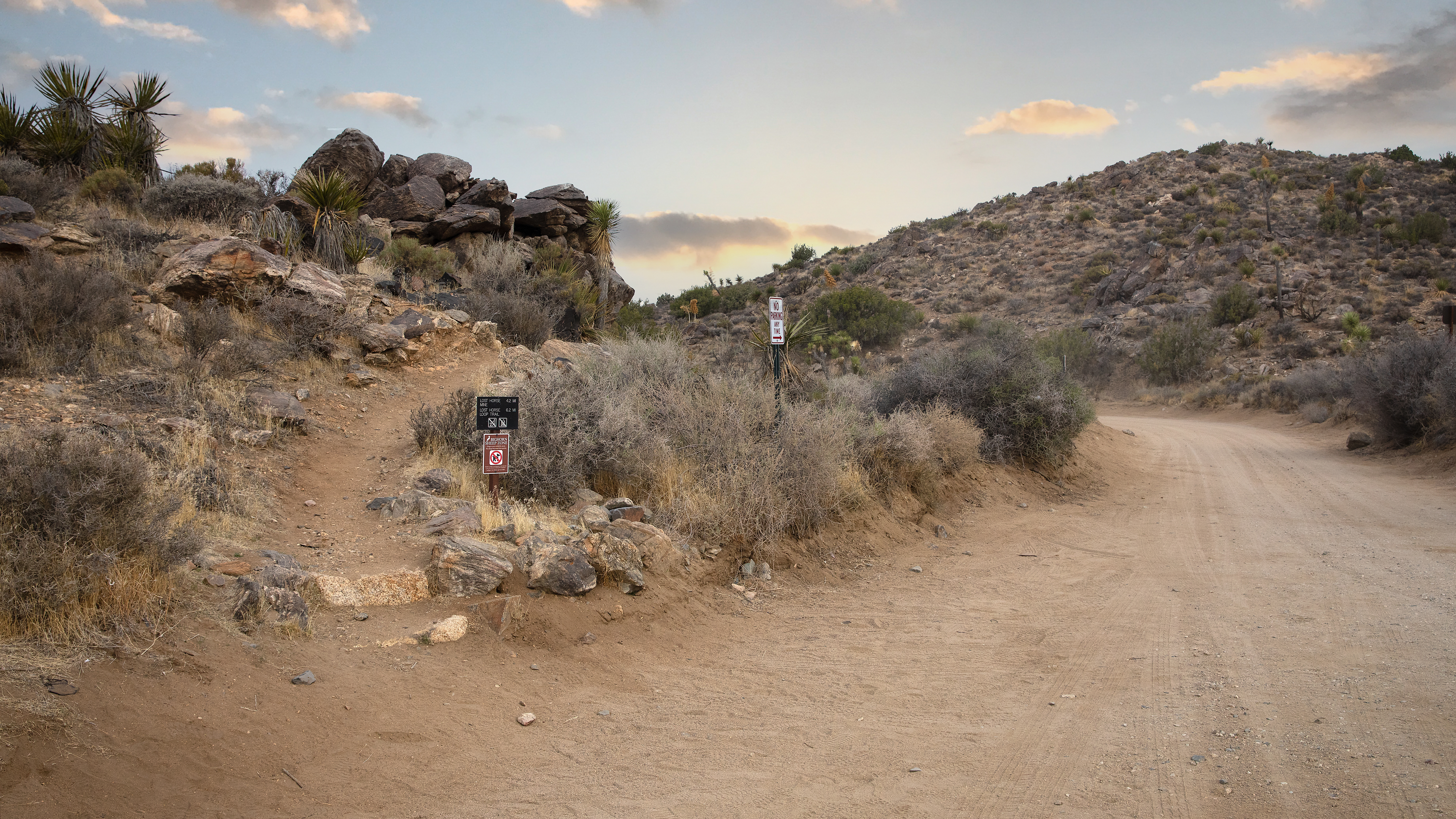 Lost Horse Mine TrailheadHikingPhoto: NPS / Preston Jordan2.2 mi
 Lost Horse Mine Loop TrailHikingPhoto: Jesse Wagstaff, CC BY 2.0 (via Flickr)2.3 mi
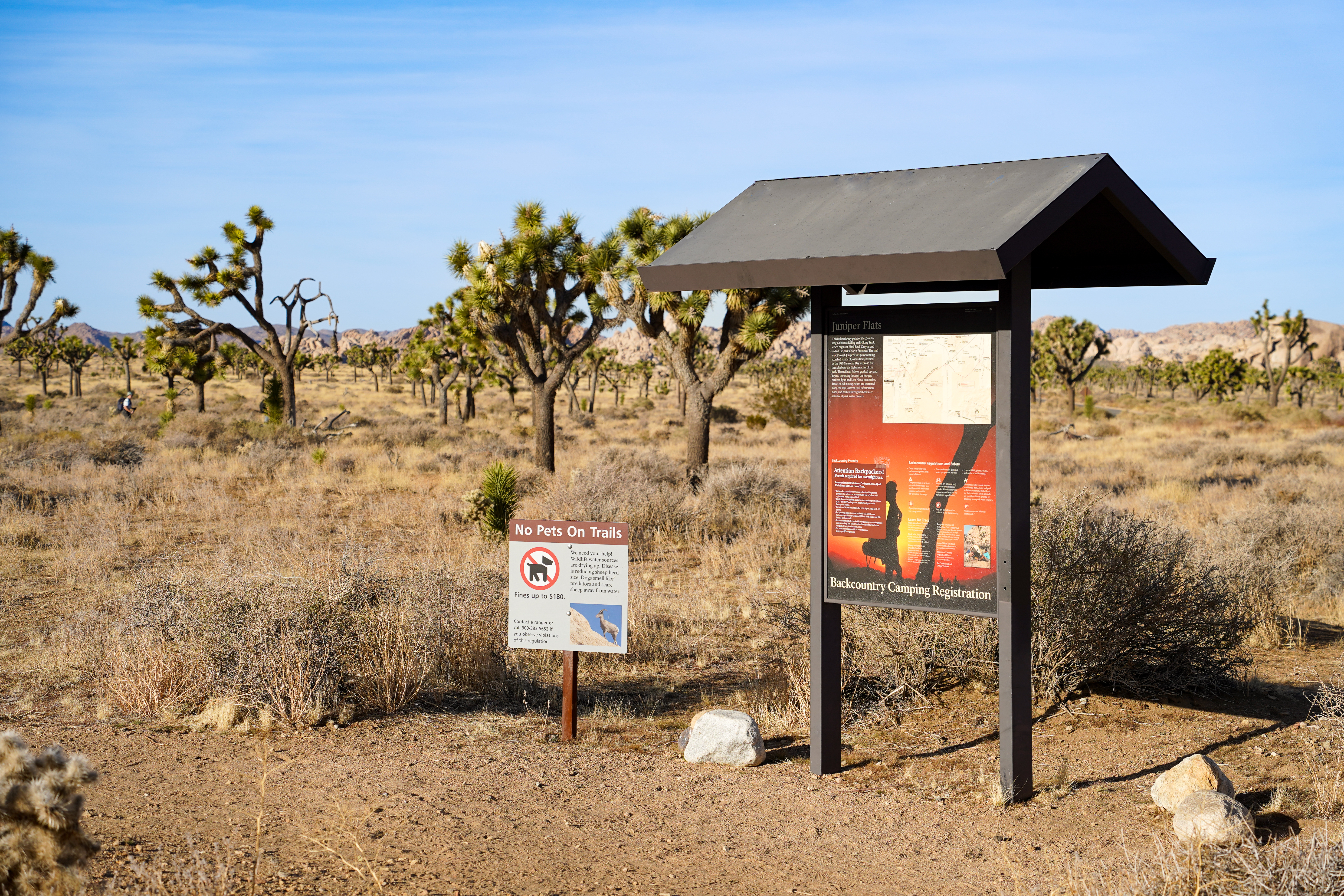 Stubbe Springs TrailheadHikingPhoto: NPS/Samantha Laarman3.7 mi
 Cap Rock AreaRock climbingPhoto: RuggyBearLA, CC BY-SA 2.0 (via Flickr)4.1 mi
 The Manure PileRock climbingPhoto: deziluzija, CC BY-SA 2.0 (via Flickr)4.3 miMaster BoulderRock climbingPhoto: deziluzija, CC BY-SA 2.0 (via Flickr)4.3 mi
 Sheep Pass GroupCampingPhoto: Recreation.gov (RIDB) / public domain6.4 mi
Source: Roamze catalog (indexable pages within 10 miles, PostGIS distance)
Ryan MountainSummit · ~9 min drivePhoto: Joshua Tree National Park, Public domain (via Wikimedia Commons)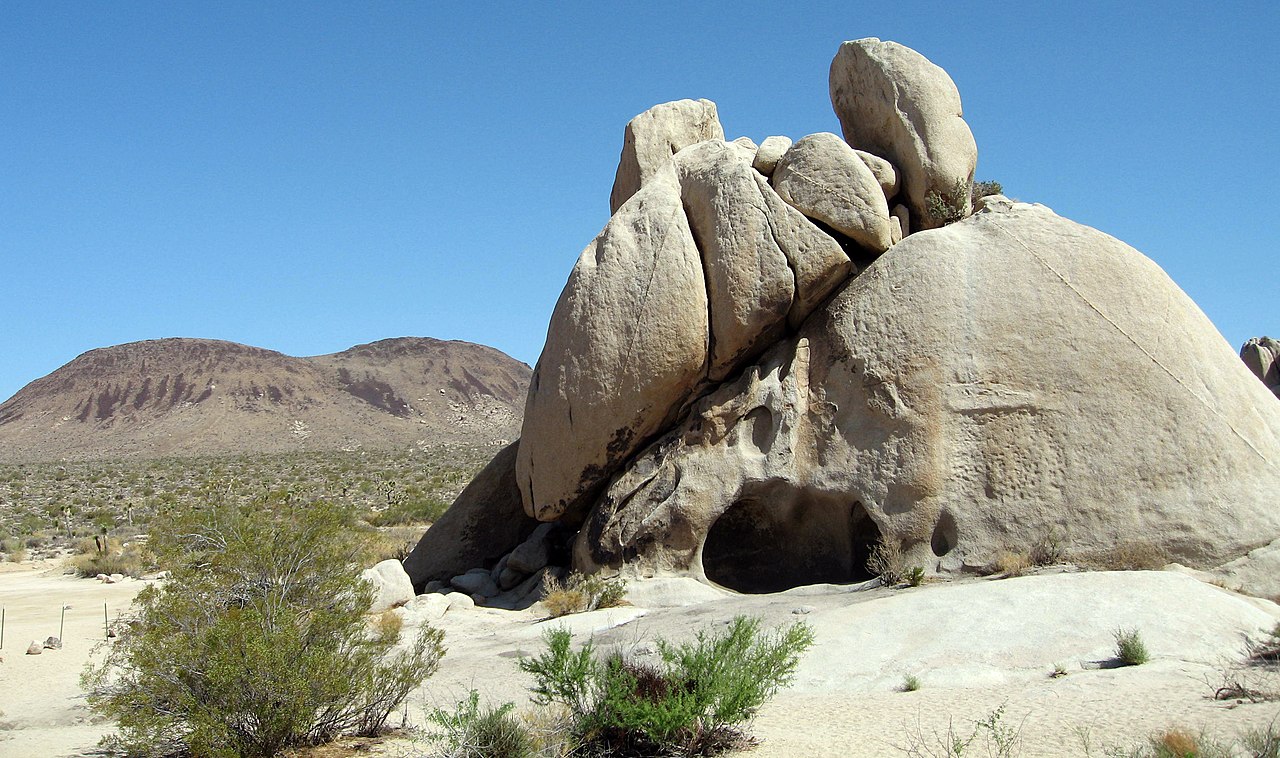 Malapai HillSummit · ~10 min drivePhoto: Joshua Tree National Park, Public domain (via Wikimedia Commons)
 Quail MountainSummit · ~11 min drivePhoto: DouglasBear at English Wikipedia, Public domain (via Wikimedia Commons)
 San Jacinto PeakSummit · ~50 min drivePhoto: Wattewyl, CC BY 3.0 (via Wikimedia Commons)
 Toro PeakSummit · ~53 min drivePhoto: Tylerfinvold at English Wikipedia, Public domain (via Wikimedia Commons)
 Suicide RockSummit · ~54 min drivePhoto: Eeekster, CC BY-SA 3.0 (via Wikimedia Commons)
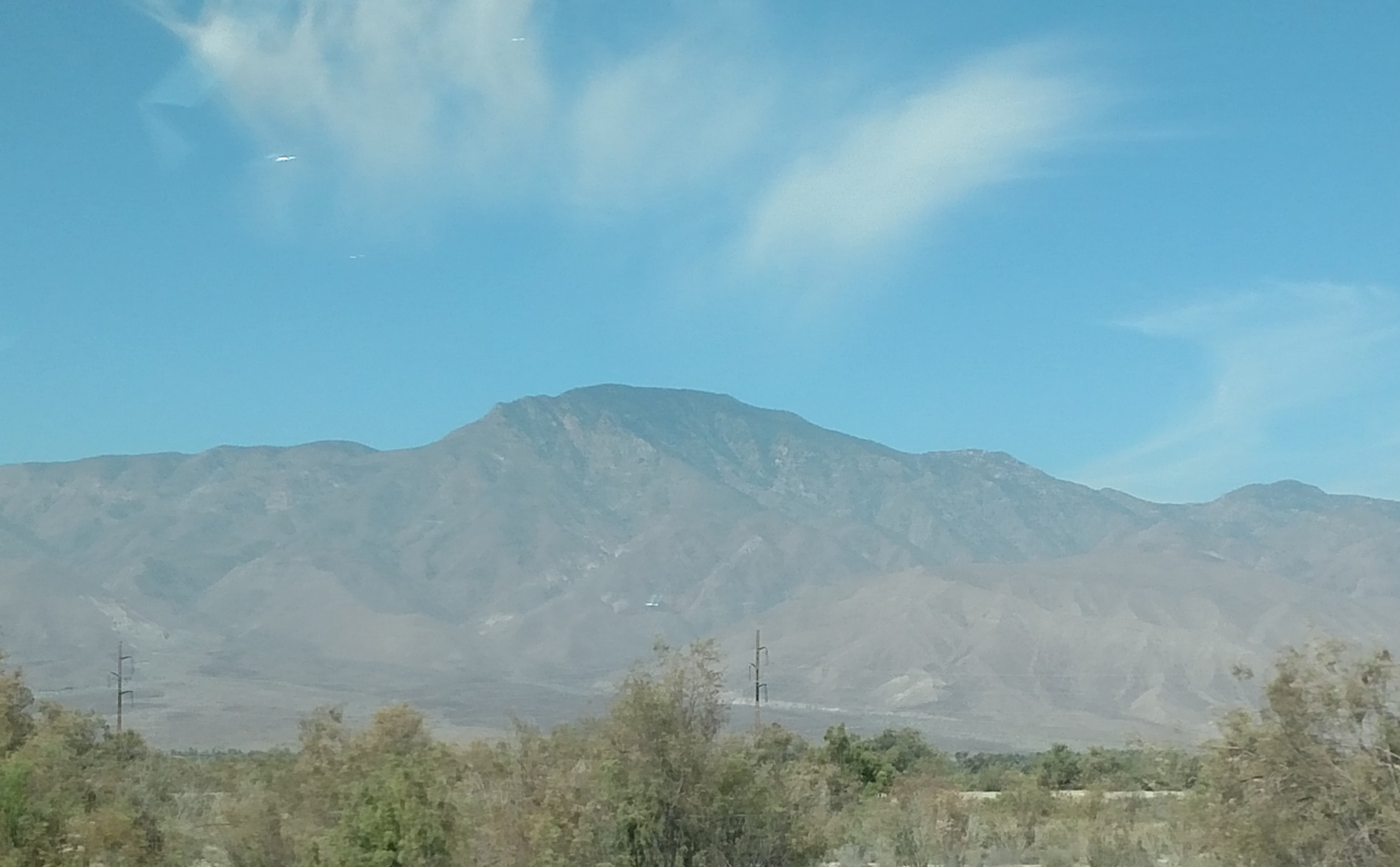 Rabbit PeakSummit · ~58 min drivePhoto: 5K-VX, CC BY-SA 4.0 (via Wikimedia Commons)
 San Gorgonio MountainSummit · ~1h 6m drivePhoto: Doc Searls, CC BY-SA 2.0 (via Wikimedia Commons)
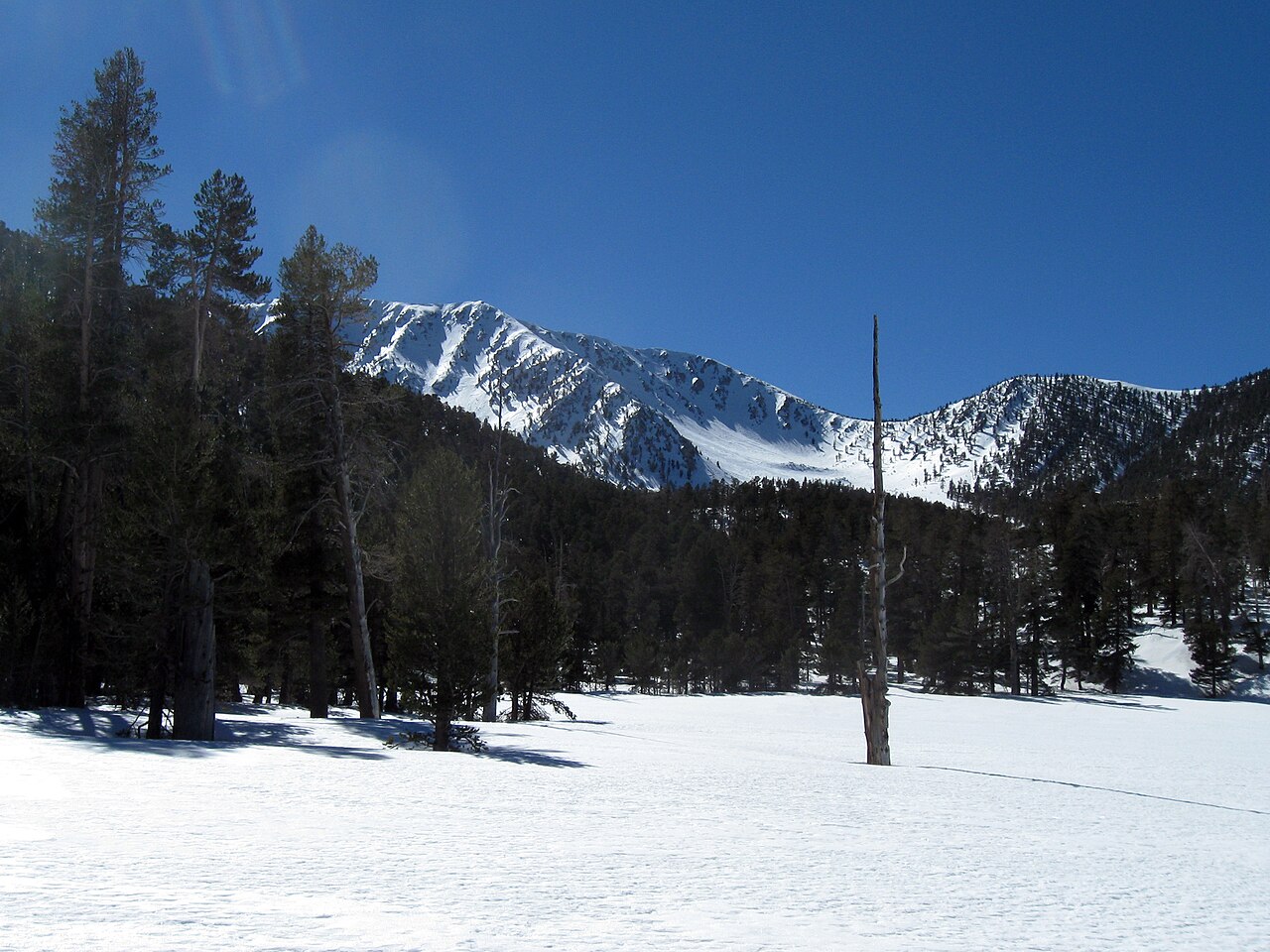 Jepson PeakSummit · ~1h 8m drivePhoto: Mitch Barrie, CC BY-SA 2.0 (via Wikimedia Commons)
 Coyote MountainSummit · ~1h 10m drivePhoto: Florian Boyd from Palm Springs, USA, CC BY-SA 2.0 (via Wikimedia Commons)
