Peg leg legal RV boondocks side
Campground
Campground · 3.8 mi from the trail
 Photo: Florian Boyd from Palm Springs, USA, CC BY-SA 2.0 (via Wikimedia Commons)
Coyote Mountain is a summit of 3,193 feet in Anza-Borrego Desert State Park in California, about 7 miles from the town of Borrego Springs. The state park manages the surrounding land. Spring and fall are the most comfortable times to go. Typical averages from the Henshaw Dam weather station, about 26 miles away and roughly 500 feet lower, show April highs near 69°F with lows around 38°F and October highs near 79°F with lows around 40°F. Summer afternoons there typically reach the low 90s, while winter nights dip to around 30°F. Several trails start close by. The Desert Equestrian Trail is about 2 miles away and the Horsecamp South Trail about 3 miles. The Alcoholic Pass Trail and the Rockhouse Trail are both within 5 miles.
Peg leg legal RV boondocks side
Campground
The Propeller Bar and Grill
Restaurant
Sky Art Desert Sculpture Garden
Gallery
Places © OpenStreetMap contributors
More in JulianDaily highs and lows, wind and the chance of precipitation at the summit for the next 7 days, from the Open-Meteo model.
Elevation from USGS 3D Elevation Program terrain data (about 10 m resolution).
We don't know of a mapped trail or route to the summit of Coyote Mountain. Plan the approach with local maps, a guidebook or a local guide, and check conditions before you go.
3,193 ft (973 m).
We don't know of a mapped trail or route to the summit. Plan the approach with local maps, a guidebook or a local guide.
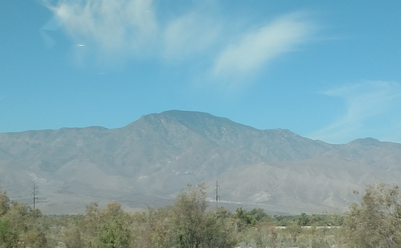
 Desert Equestrian TrailHikingPhoto: Rainhead, CC BY-SA 2.0 (via Flickr)2.3 mi
 Horsecamp South TrailHikingPhoto: npdoty, CC BY 2.0 (via Flickr)2.7 mi
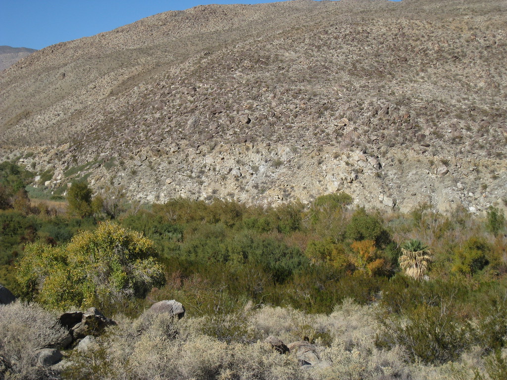 Ocotillo TrailHikingPhoto: GSEC, CC BY 2.0 (via Flickr)5.6 mi
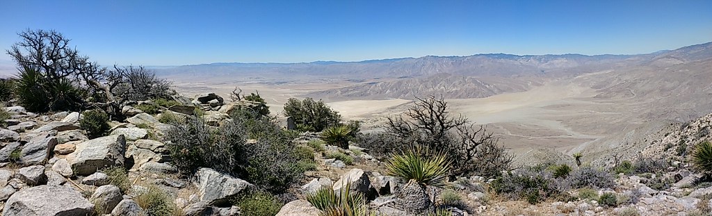 Rabbit Peak TrailHikingPhoto: Chris Hunkeler, CC BY-SA 2.0 (via Flickr)7.1 mi
Source: Roamze catalog (indexable pages within 10 miles, PostGIS distance)
Rabbit PeakSummit · ~14 min drivePhoto: 5K-VX, CC BY-SA 4.0 (via Wikimedia Commons) Toro PeakSummit · ~23 min drivePhoto: Tylerfinvold at English Wikipedia, Public domain (via Wikimedia Commons)
 Cush-piiSummit · ~51 min drivePhoto: Wasquewhat, CC BY-SA 4.0 (via Wikimedia Commons)
 Cuyamaca PeakSummit · ~54 min drivePhoto: Tylerfinvold at en.wikipedia, Public domain (via Wikimedia Commons)
 Suicide RockSummit · ~1h 2m drivePhoto: Eeekster, CC BY-SA 3.0 (via Wikimedia Commons)
 San Jacinto PeakSummit · ~1h 6m drivePhoto: Wattewyl, CC BY 3.0 (via Wikimedia Commons)
 Viejas MountainSummit · ~1h 9m drivePhoto: Ken Lund from Reno, Nevada, USA, CC BY-SA 2.0 (via Wikimedia Commons)
 Keys ViewSummit · ~1h 10m drivePhoto: Farragutful, CC BY-SA 4.0 (via Wikimedia Commons)
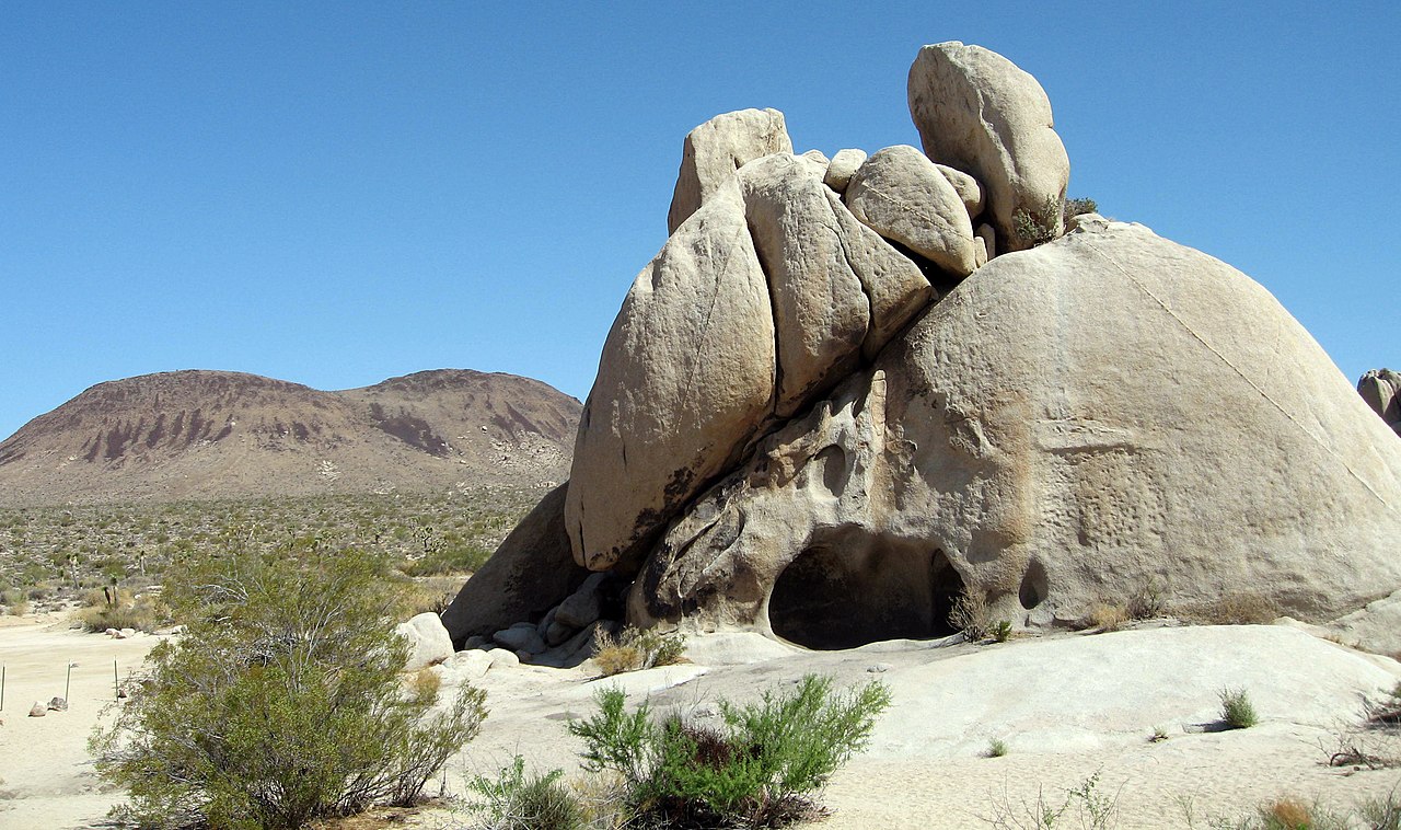 Malapai HillSummit · ~1h 14m drivePhoto: Joshua Tree National Park, Public domain (via Wikimedia Commons)
 Iron MountainSummit · ~1h 16m drivePhoto: Robert DuHamel, CC BY-SA 3.0 (via Wikimedia Commons)
Best months: February–June and October–November. Best months have typical highs of 55–85 °F, lows of 30 °F or warmer (32 °F where the station doesn't record snow), at most one snowy day and no more than 12 wet days.
Jan
60° / 31°
7 wet
Feb
61° / 32°
8 wet
Mar
65° / 35°
8 wet
Apr
69° / 38°
5 wet
May
75° / 43°
3 wet
Jun
85° / 46°
1 wet
Jul
92° / 53°
1 wet
Aug
93° / 54°
1 wet
Sep
89° / 49°
2 wet
Oct
79° / 40°
3 wet
Nov
68° / 34°
5 wet
Dec
60° / 30°
7 wet
Typical high / low (°F) and days with rain or snow, 1991–2020. Measured at Henshaw Dam, CA, 26.1 mi away at 2,700 ft. This station doesn't record snowfall. Source: NOAA NCEI U.S. Climate Normals 1991–2020.

