
Mountain · 1 route
Ryan Mountain
5,462 ft · California
Photo: Joshua Tree National Park, Public domain (via Wikimedia Commons)
- Summit
- 5,462 ft
- Routes
- 1 way up
- Season
- Spring, fall, winter
- Managed by
- National Park Service
Route up Ryan Mountain
About Ryan Mountain
Ryan Mountain is a summit of about 5,462 feet in Riverside County, California, inside Joshua Tree National Park and the Joshua Tree Wilderness. The National Park Service manages the land, and the nearest town is Twentynine Palms, about 12 miles away. The peak sits within designated wilderness, so plan on a trip that respects the park's backcountry rules. Several climbing areas lie about half a mile from the summit, including Oyster Bar, The and Asylum, The. The Ryan Mountain Trailhead is about a mile away, and Sheep Pass Group campground is roughly 1.3 miles off.
Forecast on Ryan Mountain
Daily highs and lows, wind and the chance of precipitation at the summit and route start for the next 7 days, from the Open-Meteo model.
Questions about Ryan Mountain
How tall is Ryan Mountain?
5,462 ft (1,665 m).
How many routes go to the summit of Ryan Mountain?
One: Ryan Mountain Trailhead.
When is the best time to climb Ryan Mountain?
Spring, fall, winter.
Mountains nearby
- Jumbo Rocks4,412 ft · California1 route4.2 mi away
- Múmawet626 ft · California2 routes14 mi away
- North Park Peak4,198 ft · California1 route22 mi away
- Mastodon Peak3,427 ft · California1 route26 mi away
- Murray Hill2,218 ft · California1 route26 mi away
- Chaparrosa Peak5,543 ft · California1 route27 mi away
Facts about this place
Where it is
- Joshua Tree Wilderness · Wilderness
- Joshua Tree National Park · National Park Service
- Nearest town
- Twentynine Palms, California · 12 mi
- Managed by
- National Park Service
Conditions
Active alerts for Joshua Tree National Park as of Oct 9, 2026:
Caution · posted Aug 24, 2026
Oasis of Mara Trail Partial Closure
Caution · posted Aug 24, 2026
Source: NPS Alerts API
Nearby
- The Oyster BarRock climbing0.5 mi
 The AsylumRock climbingPhoto: Seth Tisue, CC BY-SA 2.0 (via Flickr)0.5 mi
 Keith's WallRock climbingPhoto: Seth Tisue, CC BY-SA 2.0 (via Flickr)0.5 mi
- Oyster Bar AreaRock climbingPhoto: Seth Tisue, CC BY-SA 2.0 (via Flickr)0.5 mi
 Sheep Pass Connector TrailHikingPhoto: Seth Tisue, CC BY-SA 2.0 (via Flickr)0.9 mi
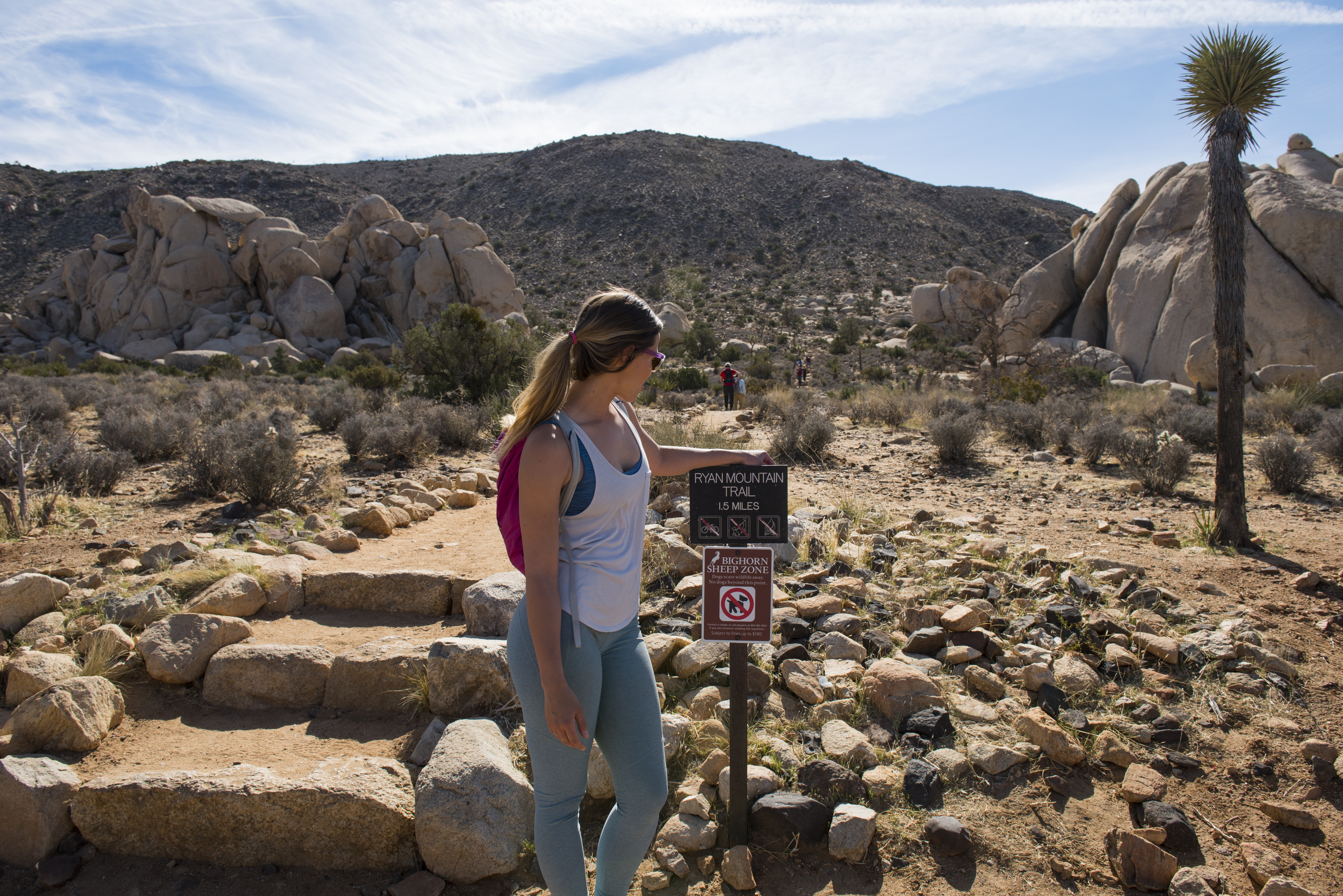 Ryan Mountain TrailheadHikingPhoto: NPS / Hannah Schwalbe1.1 mi
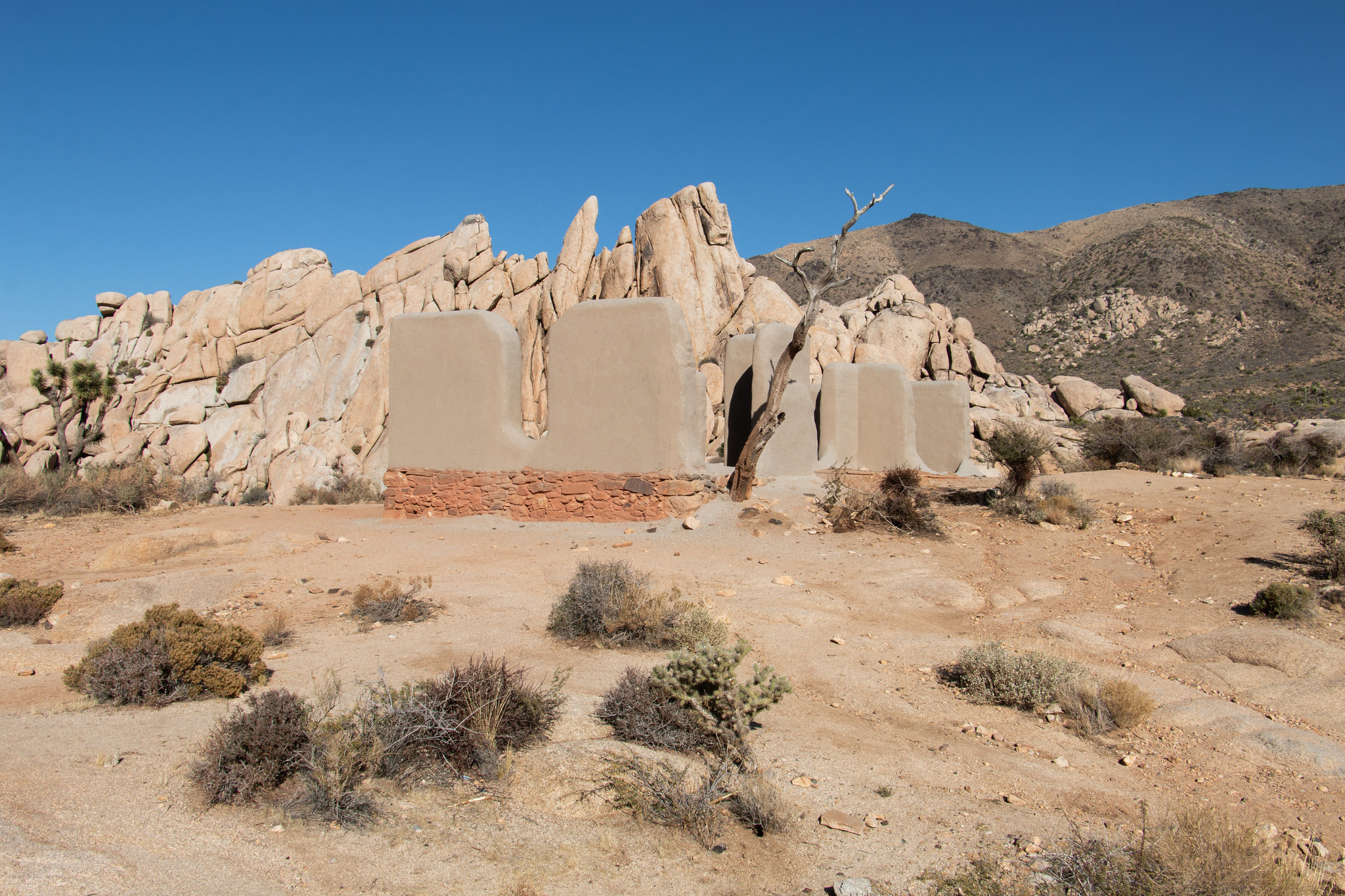 Ryan Ranch TrailheadHikingPhoto: NPS/Paul Martinez1.1 mi
 Sheep Pass GroupCampingPhoto: Recreation.gov (RIDB) / public domain1.3 mi
Source: Roamze catalog (indexable pages within 10 miles, PostGIS distance)
Is Ryan Mountain open right now?
Alert in the area
The National Park Service lists 3 alerts for Joshua Tree National Park.
Partial Trail Closure of West Side Loop
Park alert covering Joshua Tree National Park · NPS · Joshua Tree National Park
Inaccurate Third-Party Apps
Park alert covering Joshua Tree National Park · NPS · Joshua Tree National Park
Oasis of Mara Trail Partial Closure
Park alert covering Joshua Tree National Park · NPS · Joshua Tree National Park
As of · Source: NPS · Joshua Tree National Park. Agencies don't list every closure — check before you go.
