Ryan Mountain Campground
Campground
Sites open the weekend of Nov 20 on Recreation.gov
 Photo: Jesse Wagstaff, CC BY 2.0 (via Flickr)
Alert in the area
The National Park Service lists 2 alerts for Joshua Tree National Park.
Inaccurate Third-Party Apps
Park alert covering Joshua Tree National Park · NPS · Joshua Tree National Park
Oasis of Mara Trail Partial Closure
Park alert covering Joshua Tree National Park · NPS · Joshua Tree National Park
As of · Source: NPS · Joshua Tree National Park. Agencies don't list every closure — check before you go.
The Lost Horse Mine Loop Trail is a 4-mile out-and-back hike in Joshua Tree National Park, California, managed by the National Park Service. The trail starts at the Lost Horse Mine Trailhead, about 0.1 mile away, and reaches a high point of 5,106 feet. The climb is front-loaded, with the steepest stretch at about 1.3 miles in, and the total elevation gain is 885 feet for the round trip. The hike is rated easy, and the trip takes about 2 hours. The trail begins at 4,593 feet and ends at the same elevation, so it works well as a short outing with a clear objective. Nearby, the Stubbe Springs Trailhead and the California Riding and Hiking Trail are both within about 2 miles. Climbers can find The Manure Pile and Darwin Dome roughly 2.2 to 2.3 miles away.
Ryan Mountain Campground
Campground
 If it rainsJarek Tuszyński, CC BY 3.0 · Wikimedia Commons
Places © OpenStreetMap contributors, Places © Overture Maps Foundation · Photos: Jarek Tuszyński, CC BY 3.0 (commons)
More in CoachellaNot on Roamze yet. Their page has how to reach them.
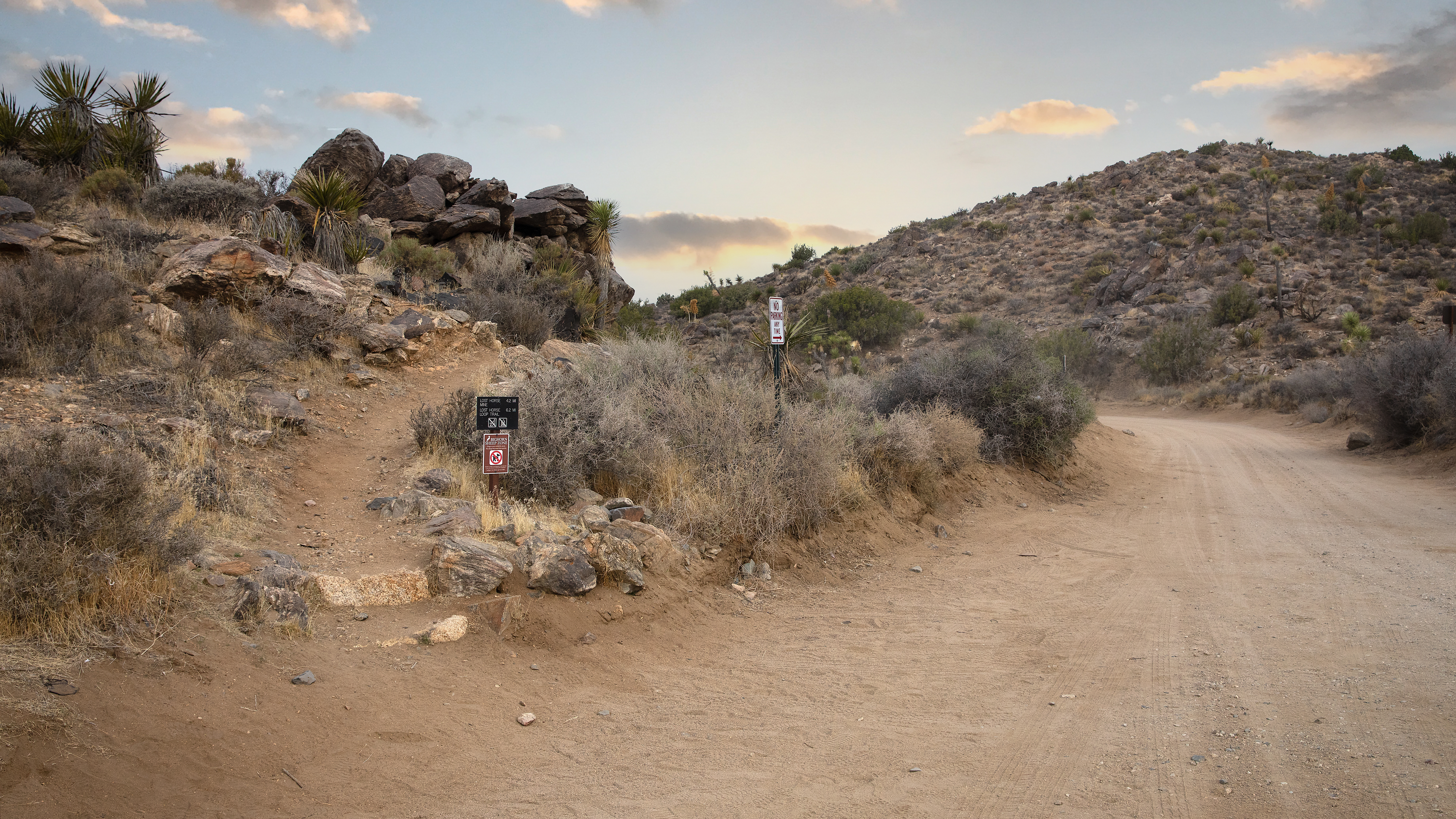 Lost Horse Mine TrailheadHikingPhoto: NPS / Preston Jordan0.1 mi
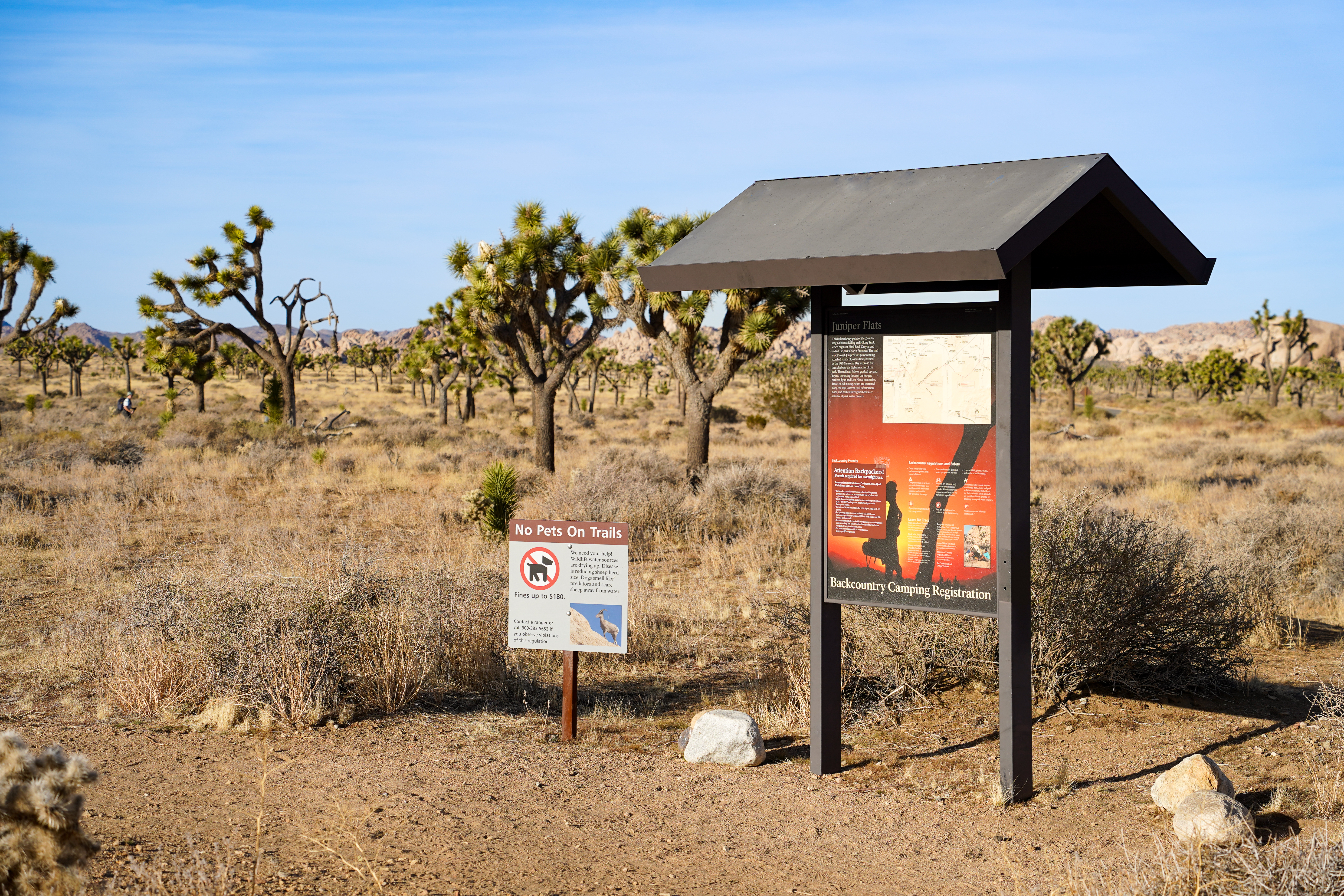 Stubbe Springs TrailheadHikingPhoto: NPS/Samantha Laarman1.8 mi
 California Riding and Hiking TrailHikingPhoto: Tony Webster, CC BY 2.0 (via Flickr)1.9 mi
 The Manure PileRock climbingPhoto: deziluzija, CC BY-SA 2.0 (via Flickr)2.2 miMaster BoulderRock climbingPhoto: deziluzija, CC BY-SA 2.0 (via Flickr)2.2 mi
 Cap Rock AreaRock climbingPhoto: RuggyBearLA, CC BY-SA 2.0 (via Flickr)2.3 mi
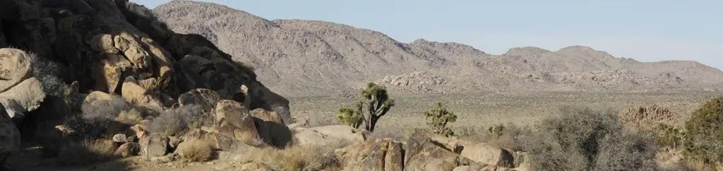 Sheep Pass GroupCampingPhoto: Recreation.gov (RIDB) / public domain4.1 mi
Source: Roamze catalog (indexable pages within 10 miles, PostGIS distance)
California Riding and Hiking TrailHiking · ~3 min drivePhoto: Tony Webster, CC BY 2.0 (via Flickr)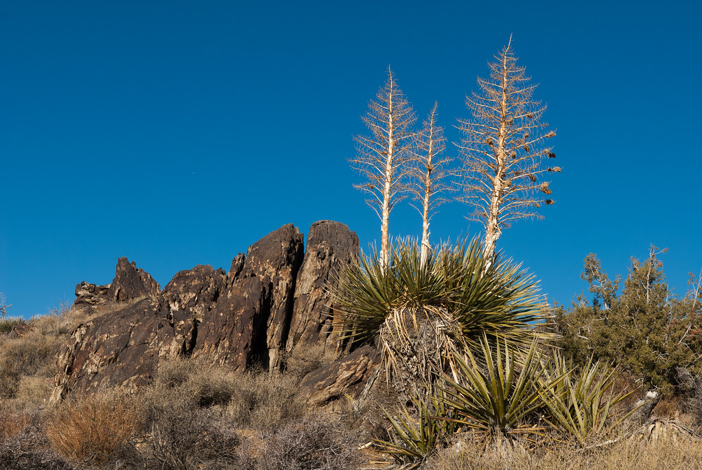 Big Trees Loop TrailHiking · ~1 min drivePhoto: Jesse Wagstaff, CC BY 2.0 (via Flickr)
 Paac Kü̱vü̱hü̱’k TrailHiking · ~9 min drivePhoto: inkknife_2000 (7.5 million views +), CC BY-SA 2.0 (via Wikimedia Commons)
Map and trail data © OpenStreetMap contributors

