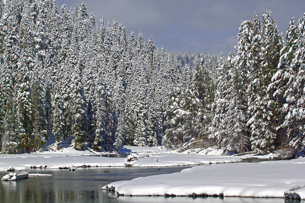
Twin Crags
Twin Crags in California has 18 climbing routes with 11 difficulty grades, offering mixed, sport, and trad styles.
- 18 routes
- 5.7 – 5.11b
- Trad · Mixed · Sport
Is Twin Crags open right now?
Closure in the area
There's a closure order in Lake Tahoe Basin Management Unit. It doesn't name Twin Crags, so check the source for the area it covers.
Harmful Algal Blooms
Agency closure covering Lake Tahoe Basin Management Unit · USFS · Lake Tahoe Basin Management Unit
Desolation Wilderness Food and Refuse Storage (Bear Canister) Restriction
Agency alert covering Lake Tahoe Basin Management Unit · Order 19-25-06 · USFS · Lake Tahoe Basin Management Unit
Meyers Landfill Area Closure
Agency alert covering Lake Tahoe Basin Management Unit · Order 19-25-01 · USFS · Lake Tahoe Basin Management Unit
Campfire Restrictions
Agency alert covering Lake Tahoe Basin Management Unit · Order 19-24-04 · USFS · Lake Tahoe Basin Management Unit
Camping/Overnight Stay Restriction
Agency alert covering Lake Tahoe Basin Management Unit · Order 19-24-05 · USFS · Lake Tahoe Basin Management Unit
As of · Source: USFS · Lake Tahoe Basin Management Unit. Agencies don't list every closure — check before you go.
Best time to visit Twin Crags
Best months: May–October. Best months have typical highs of 55–85 °F, lows of 30 °F or warmer (32 °F where the station doesn't record snow), at most one snowy day and no more than 12 wet days.
Jan
40° / 21°
11 wet · 7 snow
Feb
40° / 21°
10 wet · 7 snow
Mar
45° / 24°
10 wet · 7 snow
Apr
50° / 28°
8 wet · 4 snow
May
59° / 34°
7 wet · 1 snow
Jun
69° / 40°
3 wet
Jul
78° / 46°
1 wet
Aug
77° / 45°
2 wet
Sep
70° / 41°
2 wet
Oct
59° / 33°
4 wet · 1 snow
Nov
48° / 26°
7 wet · 3 snow
Dec
40° / 21°
10 wet · 6 snow
Typical high / low (°F) and days with rain or snow, 1991–2020. Measured at Tahoe City, CA, 1 mi away at 6,230 ft. Source: NOAA NCEI U.S. Climate Normals 1991–2020.
Twin Crags is a climbing area in the Lake Tahoe Basin Management Unit of the national forest system in California, managed by the Forest Service. It sits within the Lake Tahoe Basin, about 1 mile from Tahoe City. Summer is the most comfortable time to visit. Typical averages from a nearby weather station in Tahoe City show July highs around 78°F with lows near 46°F and only about one wet day in the month. Winter brings highs around 40°F and several snowy days each month from December through February. The Granlibakken Wilderness Trail starts less than a mile away, and the Mount Watson Access Road for mountain biking is about 0.9 miles off. William Kent Campground is roughly 1.9 miles away, and the Eagle Rock climbing area is about 4 miles away.
Routes (18)
Keep exploring — more climbs worth the drive
 Photo: Ken Lund, CC BY-SA 2.0 (via Flickr)
Shirley Canyon Cliffs
~10 min drive
Shirley Canyon Cliffs in California has 4 climbing routes ranging from easy to difficult, offering sport and trad options.
 Photo: Ken Lund, CC BY-SA 2.0 (via Flickr)
Center Wall
~10 min drive
Center Wall in California has 5 climbing routes across 4 grades.
 Photo: Rojer, CC BY 2.0 (via Flickr)
Eagle Rock
~7 min drive
Eagle Rock in California has 6 mixed climbing routes across 6 grades.
Crawford Boulder
~7 min drive
Crawford Boulder in California has 5 bouldering routes across 5 grades.
Light Deprivation Buttress
~9 min drive
11 sport climbing routes in California spanning 7 difficulty grades.
South Wall
~10 min drive
South Wall is a California climbing crag with 9 sport routes.
Big Chief
~10 min drive
Big Chief in California has 18 sport climbing routes across 12 difficulty grades.
Mini Buttress
~10 min drive
Mini Buttress in California has 12 sport climbing routes across 10 grades.
Center Wall
~10 min drive
Center Wall in California has 10 sport climbing routes across 8 difficulty grades.
The Oven
~10 min drive
The Oven in California has 10 sport climbing routes across 7 grades.