Loading…

Free — you'll pick up right here.
Watch this trail
Sign up to watch it — saving subscribes you to gate, closure and report changes.
California
3.2 mi
Distance
479 ft
Gain
Weather is good
1 factor · 1 source
Observed 3 h ago
clear: Weather
Clear, high 64°F / low 51°F, 0% precip — 100/100 for hike
OpenWeather3 h ago
Been out here in the last few days? One report keeps this current for everyone.
Why you'll love it
Blackwood Creek Trail
AI-suggested draft · review before you go
No permit or access details on file for this trail — check with the local land manager before you go.
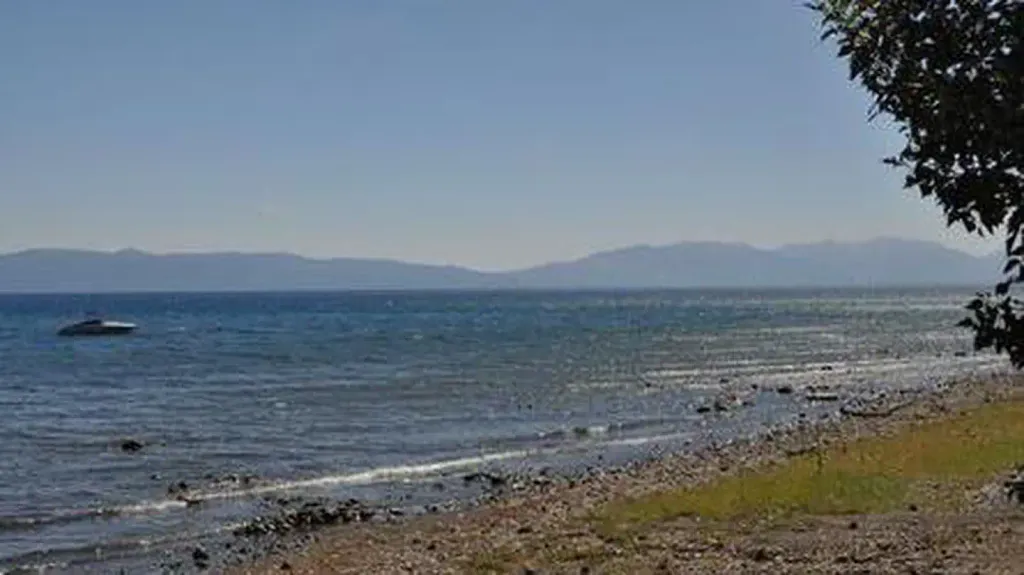
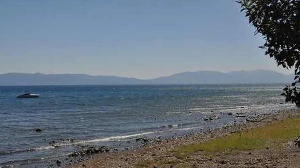
Blackwood Creek Trail is a scenic 3.2-mile out-and-back hike featuring a modest 479-foot elevation gain, making it an accessible option for hikers of varying abilities. The trail follows Blackwood Creek through a riparian corridor, offering opportunities to enjoy flowing water and shade from surrounding vegetation. This easy creek-side walk is ideal for a leisurely afternoon hike or family outing.
Ellis Peak Trail
~7 min drive
Moderate 5.6-mile peak hike with 1,256 ft elevation gain and scenic summit views.
General Creek Trail
~8 min drive
Moderate 7.24-mile creek trail with 557 ft gain and scenic water features.
Powderhorn
~9 min drive
Easy 2-mile trail with minimal elevation gain near Powderhorn.
Bear Creek Trail
~10 min drive
Steady 4-mile creek-side hike with nearly 1,000 ft elevation gain.
Hellhole
~11 min drive
Moderate 7.5-mile hike with 849 ft gain through California backcountry.
Tahoe Yosemite Trail
~10 min drive
Scenic 2-mile Sierra Nevada hike with moderate elevation gain and accessible alpine views.
Lost Lake
~10 min drive
Accessible alpine lake hike with steady elevation gain and scenic forest views.
Five Lakes Creek
~12 min drive
Moderate 9-mile creek-side hike through forested terrain with minimal elevation gain.
Big Spring
~11 min drive
Easy 1.7-mile walk to Big Spring with minimal elevation gain.
Five Lakes
~10 min drive
Scenic alpine loop featuring multiple mountain lakes with steady elevation gain.