Emigrant Landing Boat Ramp
- Oct–May
- best months
Caution at last check
Agency alerts are in effect for this area; weather is good · USFS, OpenWeather · checked 23 h ago
Is Emigrant Landing Boat Ramp open right now?
Alert in the area
The Forest Service lists 7 alerts for Angeles National Forest.
Rincon-Redbox Road (2N24) Closure
Agency alert covering Angeles National Forest · Order 05-01-26-13 · USFS · Angeles National Forest
Fire Danger Level Elevated to "Very High"
Agency alert covering Angeles National Forest · USFS · Angeles National Forest
San Gabriel Canyon OHV Area Prohibitions
Agency alert covering Angeles National Forest · Order 05-01-26-09 · USFS · Angeles National Forest
San Dimas Experimental Forest Closure
Agency alert covering Angeles National Forest · USFS · Angeles National Forest
Eaton Fire Area Closure
Agency alert covering Angeles National Forest · Order 05-01-26-04 · USFS · Angeles National Forest
As of · Source: USFS · Angeles National Forest. Agencies don't list every closure — check before you go.
Emigrant Landing Boat Ramp is a Forest Service boat launch in the Los Angeles Gateway Ranger District of Angeles National Forest, about 13 miles from the town of Lebec, California. It serves as a put-in for boaters heading onto the water in this corner of the forest. Spring and fall are the most comfortable times to visit. Typical averages from a nearby weather station in Fairmont show May highs around 76°F and October highs around 77°F, while July and August average in the low 90s. Several other spots sit about 2 miles away. Pyramid Lake - Emigrant Landing Day Use Area offers pier fishing, and Los Alamos campground is close by for an overnight stay. The Manzanita Trail (Saugus) and Beartrail Trail are both within a few miles for a hike.
- Managed by
- Forest Service
- Manzanita Trail (Saugus)Hiking2.2 mi
- Los AlamosCamping2.2 mi
- Pyramid Lake - Emigrant Landing Day Use AreaPier fishing2.2 mi
 Pyramid Lake - Los Alamos CampgroundCampingPhoto: Recreation.gov (RIDB) / public domain2.2 mi
 Beartrail TrailHikingPhoto: Clotee Pridgen Alloc…, CC BY-SA 3.0 (via Wikimedia Commons)2.3 mi
- Conglomerate Boulders (Templin boulders)Rock climbing5.1 mi
- Conglomerate Boulders (Templin boulders) - misc problemsRock climbing5.1 mi
 Castaic CreekCanoeingPhoto: Albaum at English Wikipedia, Public domain (via Wikimedia Commons)7.6 mi
Source: Roamze catalog (indexable pages within 10 miles, PostGIS distance)
- Castaic CreekCanoeing · ~13 min drivePhoto: Albaum at English Wikipedia, Public domain (via Wikimedia Commons)
- Main Launch RampBoat launch · ~26 min drive
 Piru CreekCanoeing · ~14 min drivePhoto: Forest Service, USDA, Public domain (via Wikimedia Commons)
- Lagoon Launch RampBoat launch · ~27 min drive
 Santa Clara RiverCanoeing · ~35 min drivePhoto: brewbooks, CC BY-SA 2.0 (via Wikimedia Commons)
 Sespe CreekCanoeing · ~36 min drivePhoto: Blackmb, CC BY-SA 3.0 (via Wikimedia Commons)
 Ventura RiverCanoeing · ~1h 2m drivePhoto: LorraineWalter, CC BY-SA 3.0 (via Wikimedia Commons)
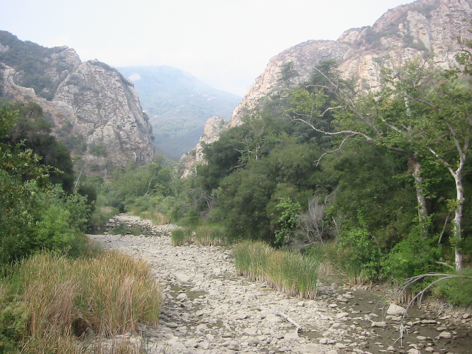 Malibu CreekCanoeing · ~1h 10m drivePhoto: Tobin/tobo, Rochester, NY, USA, CC BY-SA 2.0 (via Wikimedia Commons)
 Big Tujunga CreekCanoeing · ~1h 12m drivePhoto: MajaTrochimczyk, CC BY 3.0 us (via Wikimedia Commons)
- Lockwood CreekCanoeing · ~27 min drive
Also worth it near here
- Pyramid Lake - Los Alamos CampgroundCamping · ~4 min drive
- Pyramid Lake - Emigrant Landing Day Use AreaPier fishing · ~4 min drive
- Beartrail TrailHiking · ~4 min drivePhoto: Clotee Pridgen Alloc…, CC BY-SA 3.0 (via Wikimedia Commons)
 Dome MountainSummit · ~6 min drivePhoto: Mikejp211, CC BY-SA 4.0 (via Wikimedia Commons)
Best time to visit Emigrant Landing Boat Ramp
Best months: October–May. Best months have typical highs of 55–85 °F, lows of 30 °F or warmer (32 °F where the station doesn't record snow), at most one snowy day and no more than 12 wet days.
Jan
56° / 38°
7 wet
Feb
58° / 39°
7 wet
Mar
63° / 43°
7 wet
Apr
68° / 46°
4 wet
May
76° / 53°
2 wet
Jun
86° / 62°
1 wet
Jul
92° / 68°
1 wet
Aug
93° / 68°
1 wet
Sep
88° / 62°
1 wet
Oct
77° / 53°
2 wet
Nov
65° / 44°
3 wet
Dec
55° / 37°
5 wet
Typical high / low (°F) and days with rain or snow, 1991–2020. Measured at Fairmont, CA, 20.2 mi away at 3,060 ft. This station doesn't record snowfall. Source: NOAA NCEI U.S. Climate Normals 1991–2020.
Map and trail data © OpenStreetMap contributors
