Castaic Creek
 Photo: Albaum at English Wikipedia, Public domain (via Wikimedia Commons)
- 7.8 mi
- distance
- 2,591 ft
- high point
- Oct–May
- best months
Is Castaic Creek open right now?
Alert in the area
The Forest Service lists 7 alerts for Angeles National Forest.
Rincon-Redbox Road (2N24) Closure
Agency alert covering Angeles National Forest · Order 05-01-26-13 · USFS · Angeles National Forest
Fire Danger Level Elevated to "Very High"
Agency alert covering Angeles National Forest · USFS · Angeles National Forest
San Gabriel Canyon OHV Area Prohibitions
Agency alert covering Angeles National Forest · Order 05-01-26-09 · USFS · Angeles National Forest
San Dimas Experimental Forest Closure
Agency alert covering Angeles National Forest · USFS · Angeles National Forest
Eaton Fire Area Closure
Agency alert covering Angeles National Forest · Order 05-01-26-04 · USFS · Angeles National Forest
As of · Source: USFS · Angeles National Forest. Agencies don't list every closure — check before you go.
Castaic Creek is a 7.8-mile paddling stretch near Castaic, California, flowing through land of the Los Angeles Gateway Ranger District in Angeles National Forest. It is ephemeral and may run dry in some seasons, so it won't always be paddleable. The run averages about 78 cfs of flow and drops at a gradient of roughly 135 feet per mile, a steep descent for moving water. Over a stretch of nearly eight miles, that adds up to a significant loss of elevation from put-in to take-out. Spring and fall bring the mildest weather. The Pianobox hike lies about 1.7 miles away, and Oak Flat campground is about 3.8 miles out. Climbers can find Roadside Boulders at about 4.2 miles, and Pyramid Lake's Los Alamos Campground sits roughly 6 miles from the creek.
- PianoboxHiking1.7 mi
- Oak FlatCamping3.8 mi
- Oak Flat Nature TrailHiking3.8 mi
- Oak Flat TrailHiking3.9 mi
- Roadside BouldersRock climbing4.2 mi
- Conglomerate Boulders (Templin boulders) - misc problemsRock climbing5 mi
- Pyramid Lake - Emigrant Landing Day Use AreaPier fishing6 mi
 Pyramid Lake - Los Alamos CampgroundCampingPhoto: Recreation.gov (RIDB) / public domain6 mi
Source: Roamze catalog (indexable pages within 10 miles, PostGIS distance)
 Piru CreekCanoeing · ~24 min drivePhoto: Forest Service, USDA, Public domain (via Wikimedia Commons)
- Main Launch RampBoat launch · ~14 min drive
 Santa Clara RiverCanoeing · ~28 min drivePhoto: brewbooks, CC BY-SA 2.0 (via Wikimedia Commons)
- Lagoon Launch RampBoat launch · ~16 min drive
 Sespe CreekCanoeing · ~45 min drivePhoto: Blackmb, CC BY-SA 3.0 (via Wikimedia Commons)
- Emigrant Landing Boat RampBoat launch · ~13 min drive
 Big Tujunga CreekCanoeing · ~59 min drivePhoto: MajaTrochimczyk, CC BY 3.0 us (via Wikimedia Commons)
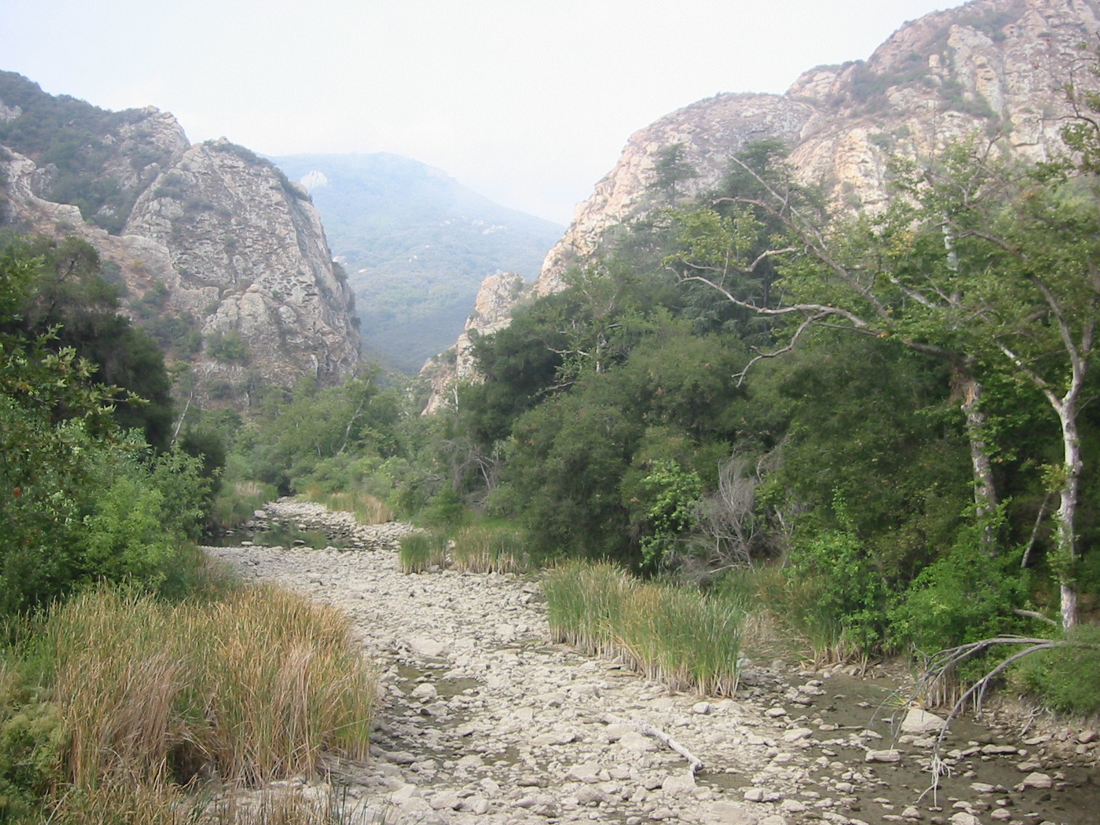 Malibu CreekCanoeing · ~1h 4m drivePhoto: Tobin/tobo, Rochester, NY, USA, CC BY-SA 2.0 (via Wikimedia Commons)
 Ventura RiverCanoeing · ~1h 9m drivePhoto: LorraineWalter, CC BY-SA 3.0 (via Wikimedia Commons)
 West Fork San Gabriel RiverCanoeing · ~1h 22m drivePhoto: Eeekster, CC BY 3.0 (via Wikimedia Commons)
Best time to visit Castaic Creek
Best months: October–May. Best months have typical highs of 55–85 °F, lows of 30 °F or warmer (32 °F where the station doesn't record snow), at most one snowy day and no more than 12 wet days.
Jan
56° / 38°
7 wet
Feb
58° / 39°
7 wet
Mar
63° / 43°
7 wet
Apr
68° / 46°
4 wet
May
76° / 53°
2 wet
Jun
86° / 62°
1 wet
Jul
92° / 68°
1 wet
Aug
93° / 68°
1 wet
Sep
88° / 62°
1 wet
Oct
77° / 53°
2 wet
Nov
65° / 44°
3 wet
Dec
55° / 37°
5 wet
Typical high / low (°F) and days with rain or snow, 1991–2020. Measured at Fairmont, CA, 14.4 mi away at 3,060 ft. This station doesn't record snowfall. Source: NOAA NCEI U.S. Climate Normals 1991–2020.

