Lockwood Creek
- 10.8 mi
- distance
- 5,262 ft
- high point
- Mar–Jun, Sep–Nov
- best months
Is Lockwood Creek open right now?
Alert in the area
The Forest Service lists 2 alerts for Los Padres National Forest.
Los Padres Fire Use and Firearm Restrictions
Agency alert covering Los Padres National Forest · Order 05-07-00-26-05 · USFS · Los Padres National Forest
Santa Barbara Front Country Fire Use Restrictions
Agency alert covering Los Padres National Forest · Order 05-07-5406-01 · USFS · Los Padres National Forest
As of · Source: USFS · Los Padres National Forest. Agencies don't list every closure — check before you go.
Lockwood Creek is a canoeing spot in California's Los Padres National Forest, within the Mt. Pinos Ranger District. The Forest Service manages the land, and the nearest town is the district's namesake, Mt. Pinos. Spring and fall are the most comfortable times to plan a trip. Typical averages from a nearby weather station at Sandberg run to highs around 70°F in May and 71°F in October, while July and August average highs near 88°F. That station sits about 750 feet lower than the creek, so temperatures here run somewhat cooler. Hikers can pair a paddle with the Mile High Trail and Dos Pinos Trail, both within about 3 miles. Chuchupate campground is about 5 miles away, and climbers can find Bukit Timah USA at roughly 7 miles.
Local outfitters
- Santa Barbara Landing42 mi away
- Santa Barbara Sailing Center42 mi away
Not on Roamze yet. Their page has how to reach them.
- Mile High TrailHiking2.6 mi
- Dos Pinos TrailHiking2.7 mi
- Maple TrailHiking3.7 mi
- ChuchupateCamping5.2 mi
- McGillCamping6.6 mi
 Bukit Timah USARock climbingPhoto: stevelyon, CC BY-SA 2.0 (via Flickr)6.7 mi
- Mt PinosCamping6.7 mi
- Nordic Base BoulderRock climbing7.5 mi
Source: Roamze catalog (indexable pages within 10 miles, PostGIS distance)
 Piru CreekCanoeing · ~18 min drivePhoto: Forest Service, USDA, Public domain (via Wikimedia Commons)
- Main Launch RampBoat launch · ~51 min drive
 Sespe CreekCanoeing · ~22 min drivePhoto: Blackmb, CC BY-SA 3.0 (via Wikimedia Commons)
- Lagoon Launch RampBoat launch · ~51 min drive
 Castaic CreekCanoeing · ~40 min drivePhoto: Albaum at English Wikipedia, Public domain (via Wikimedia Commons)
- Emigrant Landing Boat RampBoat launch · ~27 min drive
 Ventura RiverCanoeing · ~47 min drivePhoto: LorraineWalter, CC BY-SA 3.0 (via Wikimedia Commons)
 Santa Clara RiverCanoeing · ~53 min drivePhoto: brewbooks, CC BY-SA 2.0 (via Wikimedia Commons)
 Sisquoc RiverCanoeing · ~1h 22m drivePhoto: Unknown historical, Public domain (via Wikimedia Commons)
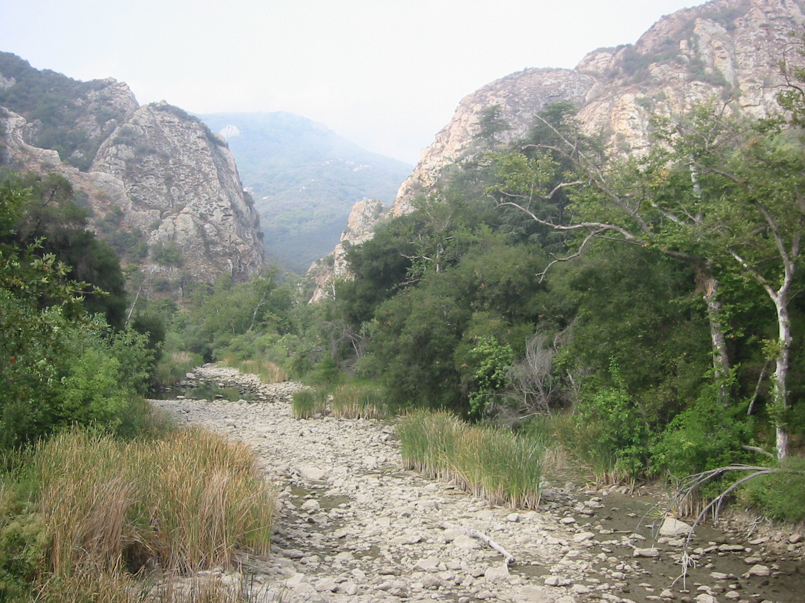 Malibu CreekCanoeing · ~1h 22m drivePhoto: Tobin/tobo, Rochester, NY, USA, CC BY-SA 2.0 (via Wikimedia Commons)
Also worth it near here
 Spruce TrailHiking · ~7 min drivePhoto: Damian Gadal, CC BY 2.0 (via Wikimedia Commons)
- Pine Springs ÇampgroundCamping · ~8 min drive
 Frazier MountainSummit · ~10 min drivePhoto: Elbonian, CC BY-SA 4.0 (via Wikimedia Commons)
- Bukit Timah USARock climbing · ~11 min drivePhoto: stevelyon, CC BY-SA 2.0 (via Flickr)
Best time to visit Lockwood Creek
Best months: March–June and September–November. Best months have typical highs of 55–85 °F, lows of 30 °F or warmer (32 °F where the station doesn't record snow), at most one snowy day and no more than 12 wet days.
Jan
52° / 39°
7 wet
Feb
53° / 38°
8 wet
Mar
57° / 41°
7 wet
Apr
62° / 43°
5 wet
May
70° / 49°
3 wet
Jun
80° / 58°
1 wet
Jul
88° / 65°
1 wet
Aug
88° / 65°
1 wet
Sep
83° / 61°
1 wet
Oct
71° / 52°
2 wet
Nov
60° / 44°
4 wet
Dec
52° / 38°
6 wet
Typical high / low (°F) and days with rain or snow, 1991–2020. Measured at Sandberg, CA, 19 mi away at 4,510 ft. The station sits about 800 ft lower than this place, so expect it a little cooler here. This station doesn't record snowfall. Source: NOAA NCEI U.S. Climate Normals 1991–2020.
