Malibu Creek Group Camp Site
Campground
Campground · 0.9 mi from the trail
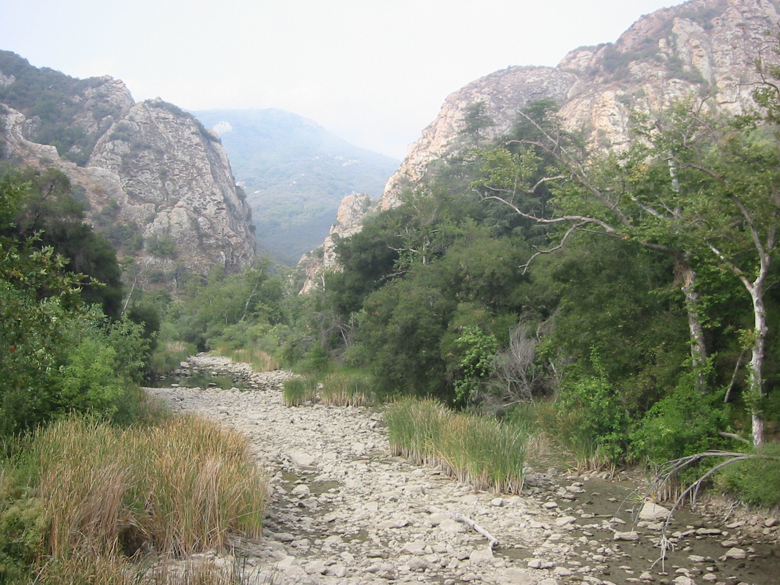 Photo: Tobin/tobo, Rochester, NY, USA, CC BY-SA 2.0 (via Wikimedia Commons)
No closures listed
The National Park Service lists no closures for Santa Monica Mountains National Recreation Area.
As of · Source: NPS · Santa Monica Mountains National Recreation Area. Agencies don't list every closure — check before you go.
Malibu Creek is an 11-mile paddling stretch in the Santa Monica Mountains National Recreation Area, about 11 miles from Calabasas, California. It is an ephemeral waterway, and its flow can vary enough that it may run dry in some seasons. USGS models an average flow of about 31 cubic feet per second and a gradient of about 68 feet per mile. Spring and fall are the most comfortable times to paddle. Typical averages from a nearby weather station show April highs around 78°F and November highs around 76°F, while July and August average in the mid-90s. Several other outdoor spots sit within a mile of the creek. The Chaparral Trail and the Tapia Spur Trail are both hikes close by, and the climbing areas at Ghetto Wall and Mt. Gorgeous are about 0.7 miles away.
Malibu Creek Group Camp Site
Campground
 If it rainsLos Angeles, CC BY-SA 4.0 · Wikimedia Commons
Leonis Adobe
Museum
Places © OpenStreetMap contributors · Photos: Los Angeles, CC BY-SA 4.0 (commons)
More in MoorparkNot on Roamze yet. Their page has how to reach them.
 Chaparral TrailHikingPhoto: Steve Voght, CC BY-SA 2.0 (via Wikimedia Commons)0.7 mi
 Stumbling BlocksRock climbingPhoto: playboyr, CC BY 3.0 (via Wikimedia Commons)0.8 mi
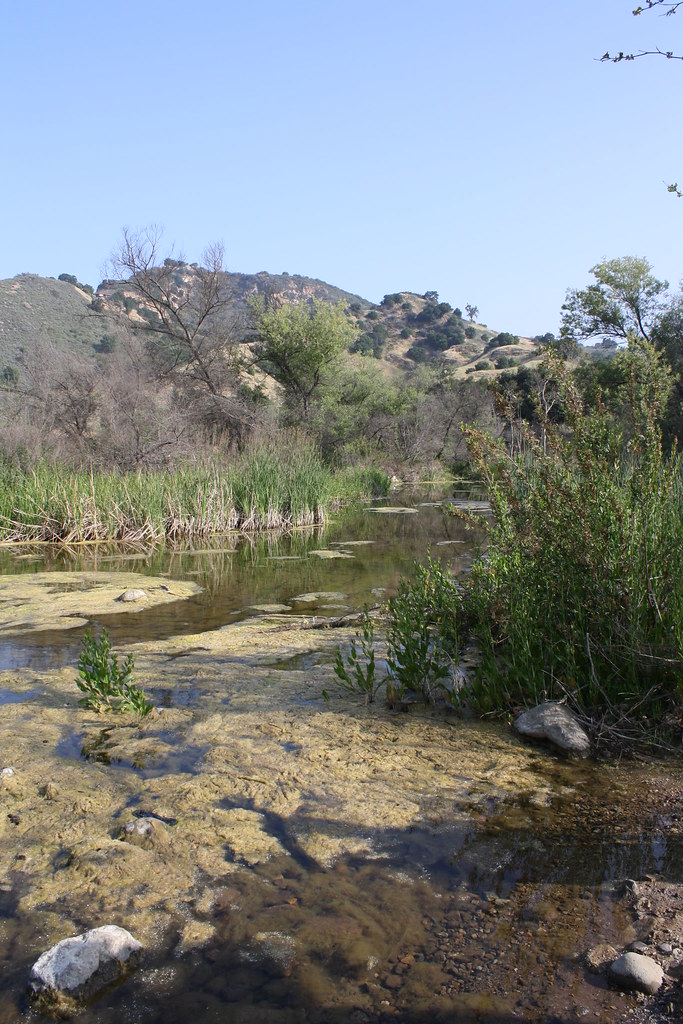 Grasslands TrailHikingPhoto: jmlawlor, CC BY 2.0 (via Flickr)0.9 mi
Source: Roamze catalog (indexable pages within 10 miles, PostGIS distance)
 Santa Clara RiverCanoeing · ~36 min drivePhoto: brewbooks, CC BY-SA 2.0 (via Wikimedia Commons)
 Big Tujunga CreekCanoeing · ~56 min drivePhoto: MajaTrochimczyk, CC BY 3.0 us (via Wikimedia Commons)
 Castaic CreekCanoeing · ~1h 4m drivePhoto: Albaum at English Wikipedia, Public domain (via Wikimedia Commons)
 Rio HondoCanoeing · ~1h 4m drivePhoto: Cromagnom, CC BY-SA 3.0 (via Wikimedia Commons)
 Ventura RiverCanoeing · ~1h 6m drivePhoto: LorraineWalter, CC BY-SA 3.0 (via Wikimedia Commons)
 Piru CreekCanoeing · ~1h 6m drivePhoto: Forest Service, USDA, Public domain (via Wikimedia Commons)
Also worth it near here
Best months: October–May. Best months have typical highs of 55–85 °F, lows of 30 °F or warmer (32 °F where the station doesn't record snow), at most one snowy day and no more than 12 wet days.
Jan
70° / 43°
6 wet
Feb
70° / 44°
7 wet
Mar
74° / 46°
6 wet
Apr
78° / 48°
3 wet
May
82° / 53°
1 wet
Jun
89° / 57°
0 wet
Jul
95° / 61°
0 wet
Aug
97° / 61°
0 wet
Sep
94° / 59°
1 wet
Oct
85° / 53°
2 wet
Nov
76° / 46°
3 wet
Dec
69° / 42°
6 wet
Typical high / low (°F) and days with rain or snow, 1991–2020. Measured at Woodland Hills Pierce College, CA, 10.9 mi away at 790 ft. Source: NOAA NCEI U.S. Climate Normals 1991–2020.
