Foster Residence Campground
Campground
Campground · 1.9 mi from the trail
 Photo: LorraineWalter, CC BY-SA 3.0 (via Wikimedia Commons)
Ventura River is a paddling stretch of about 16 miles (15.9) near Ventura, California, with the nearest town being Casitas Springs, less than a mile away. The river is intermittent and may run dry in some seasons, so it won't always be paddleable. The stretch has an average modeled flow of about 180 cubic feet per second, according to USGS. It drops at a gradient of about 57 feet per mile, which is a steady descent along its length. Typical averages from the nearby Ojai weather station show spring as a comfortable stretch. April highs are around 74°F, and May highs are about 77°F. Midsummer highs reach about 90°F in July and August. Close by are the Lower River Loop Trails, about 3.4 miles away, and San Antonio Creek, another paddling run at 3.7 miles. The West River Trail is 4.5 miles away, and the Holiday Group Campground is about 9 miles away.
Foster Residence Campground
Campground
History museum in Carpinteria, California
Places © OpenStreetMap contributors, Places © Overture Maps Foundation
More in CarpinteriaNot on Roamze yet. Their page has how to reach them.
 West River TrailHikingPhoto: leighklotz, CC BY 2.0 (via Flickr)4.5 miOrange Grove TrailHikingPhoto: leighklotz, CC BY 2.0 (via Flickr)4.7 mi
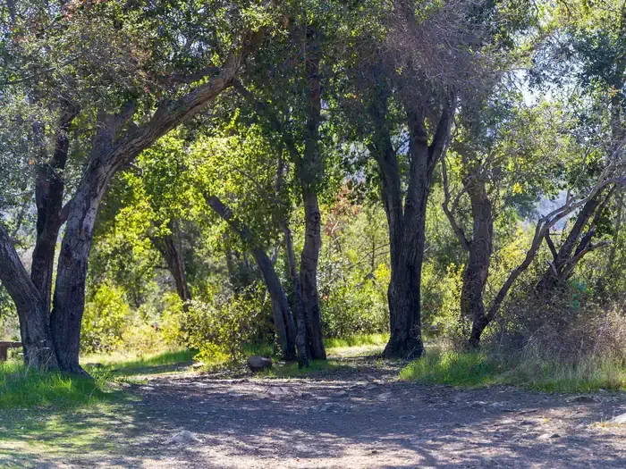 Holiday Group CampgroundCampingPhoto: Recreation.gov (RIDB) / public domain9.4 mi
Source: Roamze catalog (indexable pages within 10 miles, PostGIS distance)
 Sespe CreekCanoeing · ~26 min drivePhoto: Blackmb, CC BY-SA 3.0 (via Wikimedia Commons)
 Santa Clara RiverCanoeing · ~59 min drivePhoto: brewbooks, CC BY-SA 2.0 (via Wikimedia Commons)
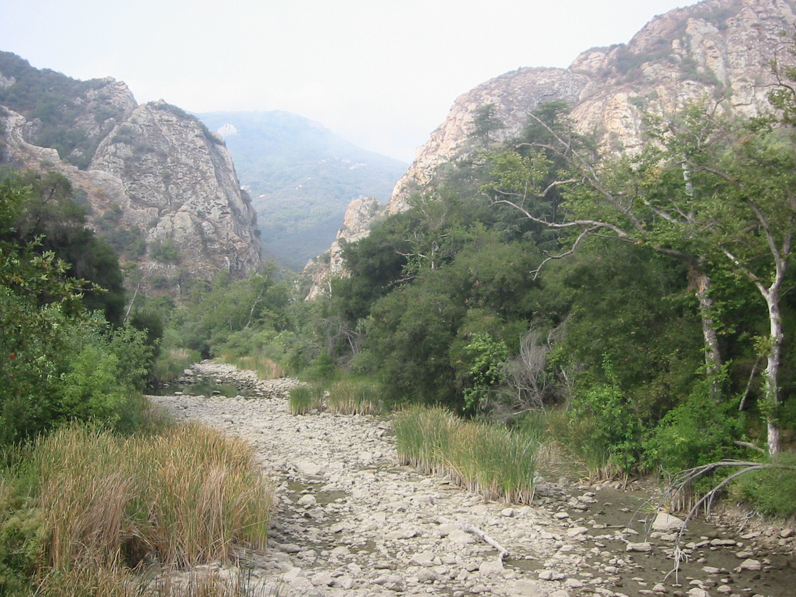 Malibu CreekCanoeing · ~1h 6m drivePhoto: Tobin/tobo, Rochester, NY, USA, CC BY-SA 2.0 (via Wikimedia Commons)
 Sisquoc RiverCanoeing · ~1h 16m drivePhoto: Unknown historical, Public domain (via Wikimedia Commons)
 Santa Ynez RiverCanoeing · ~1h 18m drivePhoto: Gordon F. Smith, CC BY-SA 3.0 (via Wikimedia Commons)
 Piru CreekCanoeing · ~48 min drivePhoto: Forest Service, USDA, Public domain (via Wikimedia Commons)
 Castaic CreekCanoeing · ~1h 9m drivePhoto: Albaum at English Wikipedia, Public domain (via Wikimedia Commons)
Best months: October–June. Best months have typical highs of 55–85 °F, lows of 30 °F or warmer (32 °F where the station doesn't record snow), at most one snowy day and no more than 12 wet days.
Jan
66° / 34°
Feb
67° / 36°
Mar
70° / 39°
Apr
74° / 41°
May
77° / 46°
Jun
82° / 50°
Jul
89° / 54°
Aug
91° / 53°
Sep
88° / 51°
Oct
81° / 45°
Nov
73° / 37°
Dec
65° / 33°
Typical high / low (°F) and days with rain or snow, 1991–2020. Measured at Ojai, CA, 6.2 mi away at 745 ft. This station doesn't record snowfall. Source: NOAA NCEI U.S. Climate Normals 1991–2020.
