Valencia Travel Village RV Resort
Campground
Campground · 4.8 mi from the trail
Lagoon Launch Ramp is a boat launch in Castaic Lake State Recreation Area in California, about 2 miles from the town of Castaic. The state park manages the land, and the ramp gives boaters a put-in on Castaic Lake. Spring and fall are the most comfortable times to visit. Typical averages from a nearby weather station show April highs around 74°F and October highs around 81°F, while July and August average in the low 90s. Several trails and mountain biking routes sit about a mile away, including the West Ridge Trail and Grasshopper Canyon Trail for hiking and the Sesame Street and Downtown routes for mountain biking. Farther out, the Santa Clara River offers canoeing about 9 miles away, and Zuni Campground is just under 9 miles off.
Valencia Travel Village RV Resort
Campground
Tacos el vaquero
Taco restaurant
 If it rainsNorris M. Knaus, Public domain · Wikimedia Commons
Places © OpenStreetMap contributors, Places © Overture Maps Foundation · Photos: Norris M. Knaus, Public domain (commons)
More in Moorpark Santa Clara RiverCanoeingPhoto: brewbooks, CC BY-SA 2.0 (via Wikimedia Commons)8.8 mi
 Castaic CreekCanoeingPhoto: Albaum at English Wikipedia, Public domain (via Wikimedia Commons)9.4 mi
Source: Roamze catalog (indexable pages within 10 miles, PostGIS distance)
Santa Clara RiverCanoeing · ~15 min drivePhoto: brewbooks, CC BY-SA 2.0 (via Wikimedia Commons) Big Tujunga CreekCanoeing · ~45 min drivePhoto: MajaTrochimczyk, CC BY 3.0 us (via Wikimedia Commons)
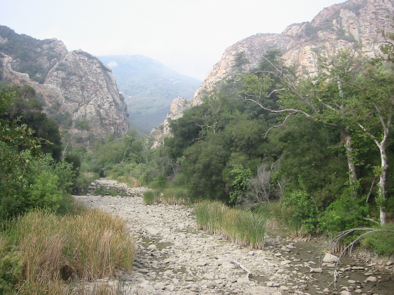 Malibu CreekCanoeing · ~50 min drivePhoto: Tobin/tobo, Rochester, NY, USA, CC BY-SA 2.0 (via Wikimedia Commons)
 Sespe CreekCanoeing · ~50 min drivePhoto: Blackmb, CC BY-SA 3.0 (via Wikimedia Commons)
 Ventura RiverCanoeing · ~1h 9m drivePhoto: LorraineWalter, CC BY-SA 3.0 (via Wikimedia Commons)
 West Fork San Gabriel RiverCanoeing · ~1h 10m drivePhoto: Eeekster, CC BY 3.0 (via Wikimedia Commons)
 Rio HondoCanoeing · ~1h 16m drivePhoto: Cromagnom, CC BY-SA 3.0 (via Wikimedia Commons)
 San Gabriel RiverCanoeing · ~1h 24m drivePhoto: Emarateyya, Muna Al Zaabi, CC BY-SA 3.0 (via Wikimedia Commons)
Best months: October–May. Best months have typical highs of 55–85 °F, lows of 30 °F or warmer (32 °F where the station doesn't record snow), at most one snowy day and no more than 12 wet days.
Jan
63° / 47°
5 wet
Feb
65° / 45°
6 wet
Mar
70° / 47°
5 wet
Apr
74° / 49°
3 wet
May
81° / 53°
1 wet
Jun
87° / 57°
0 wet
Jul
94° / 63°
0 wet
Aug
96° / 64°
0 wet
Sep
91° / 62°
1 wet
Oct
81° / 56°
2 wet
Nov
71° / 49°
3 wet
Dec
62° / 44°
5 wet
Typical high / low (°F) and days with rain or snow, 1991–2020. Measured at Newhall 5nw, CA, 7.3 mi away at 1,765 ft. The station sits about 600 ft higher than this place, so expect it a little warmer here. Source: NOAA NCEI U.S. Climate Normals 1991–2020.
Map and trail data © OpenStreetMap contributors

