Beaver Creek
- 12.3 mi
- distance
- 3,376 ft
- high point
- Mar–Jun, Sep–Oct
- best months
Is Beaver Creek open right now?
Alert in the area
The Forest Service lists 2 alerts for Klamath National Forest.
Temporarily closure of approximately 3.5 miles of National Forest System Roads 47N01
Agency alert covering Klamath National Forest · Order 05-05-00-26-08 · USFS · Klamath National Forest
Grayback Road Repairs
Agency alert covering Klamath National Forest · USFS · Klamath National Forest
As of · Source: USFS · Klamath National Forest. Agencies don't list every closure — check before you go.
Beaver Creek is a 12-mile paddling stretch near the Klamath River in California, within the Oak Knoll Ranger District of Klamath National Forest. The creek flows year-round, and USGS models an average flow of about 148 cubic feet per second and a gradient of about 129.8 feet per mile. Late spring and early fall tend to be the most comfortable times to paddle. Typical averages from the Yreka, California weather station, about 18 miles away, show May highs near 74°F with lows around 43°F, and September highs near 84°F with lows around 47°F. Summer runs hot, with July and August highs in the low 90s. Cow Creek, a paddling route about 6 miles away, is the closest neighbor. Wrangle Campground, about 8 miles off, offers a place to camp. Cottonwood Creek, another paddling option, and the Pacific Crest National Scenic Trail, both about 9 miles away.
Local outfitters
- Noah's River Adventures19 mi away
- Momentum River Expeditions19 mi away
Not on Roamze yet. Their page has how to reach them.
- Cow CreekCanoeing5.7 mi
- Wrangle CampgroundCamping8.3 mi
- Humbug94Hiking9 mi
- Pacific Crest National Scenic TrailHiking9.4 mi
- Cottonwood CreekCanoeing9.5 mi
Source: Roamze catalog (indexable pages within 10 miles, PostGIS distance)
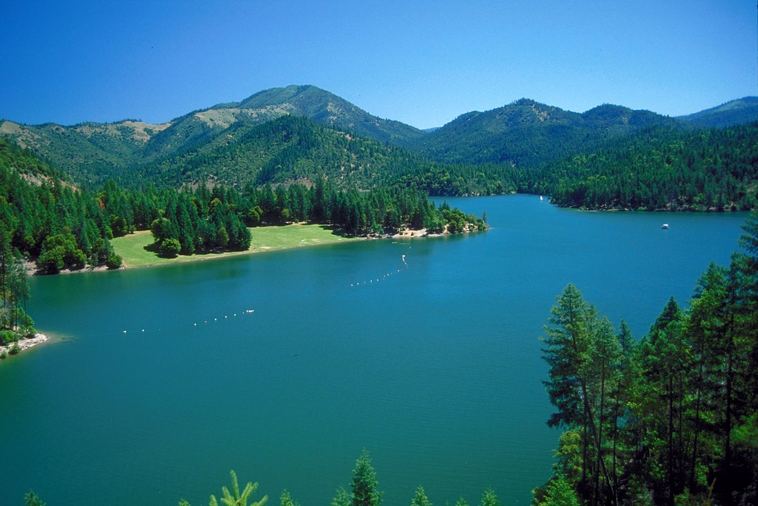 Applegate RiverCanoeing · ~32 min drivePhoto: Bill Johnson, U.S. Army Corps of Engineers, Public domain (via Wikimedia Commons)
- Gottville River AccessBoat launch · ~10 min drive
- Sarah Totten CampgroundFloat trip · ~28 min drive
- HART-TISH PARK at APPLEGATE LAKEStand up paddleboarding · ~31 min drive
 Bear CreekCanoeing · ~38 min drivePhoto: ZabMilenko at English Wikipedia, Public domain (via Wikimedia Commons)
- Skeahan Bar Boating SiteBoat launch · ~13 min drive
- Jackson Campground On The Applegate RiverStand up paddleboarding · ~32 min drive
 Klamath RiverCanoeing · ~41 min drivePhoto: Kid Cowboy, CC BY-SA 2.0 (via Wikimedia Commons)
- French Gulch Boating SiteBoat launch · ~29 min drive
 Shasta RiverCanoeing · ~45 min drivePhoto: Marshman at en.wikipedia, CC BY-SA 3.0 (via Wikimedia Commons)
Also worth it near here
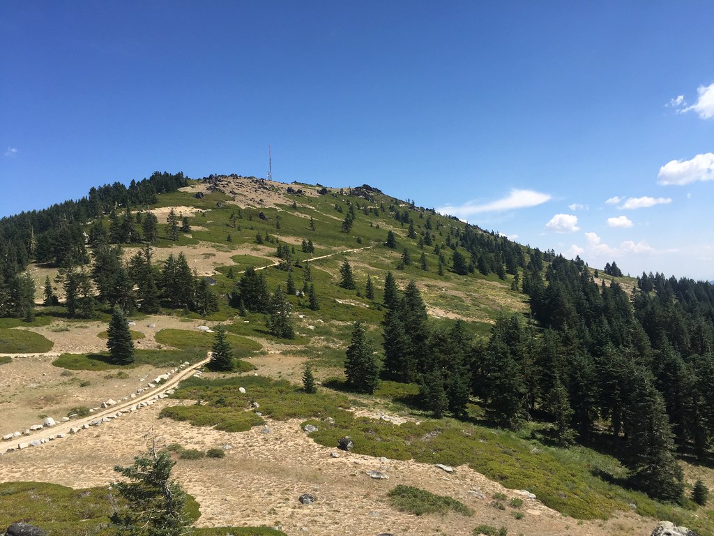 Split RockHiking · ~17 min drivePhoto: zappowbang, CC BY-SA 2.0 (via Flickr)
- Chocolate FallsWaterfall · ~18 min drive
 Mount AshlandSummit · ~19 min drivePhoto: Alex Lockhart, Public domain (via Wikimedia Commons)
 PCT: Rrs SouthMountain biking · ~19 min drivePhoto: james shaw, CC BY-SA 3.0 (via Wikimedia Commons)
Best time to visit Beaver Creek
Best months: March–June and September–October. Best months have typical highs of 55–85 °F, lows of 30 °F or warmer (32 °F where the station doesn't record snow), at most one snowy day and no more than 12 wet days.
Jan
46° / 27°
13 wet
Feb
52° / 29°
10 wet
Mar
58° / 32°
11 wet
Apr
64° / 37°
9 wet
May
74° / 43°
8 wet
Jun
83° / 49°
4 wet
Jul
93° / 55°
3 wet
Aug
92° / 54°
2 wet
Sep
84° / 47°
2 wet
Oct
70° / 38°
5 wet
Nov
54° / 31°
10 wet
Dec
45° / 27°
13 wet
Typical high / low (°F) and days with rain or snow, 1991–2020. Measured at Yreka, CA, 18.2 mi away at 2,709 ft. The station sits about 700 ft lower than this place, so expect it a little cooler here. This station doesn't record snowfall. Source: NOAA NCEI U.S. Climate Normals 1991–2020.
