Woods Creek
 Photo: erik langner, CC BY-SA 2.0 (via Flickr)
- 5.2 mi
- round trip
- 1,670 ft
- climb
- 8,503 ft
- high point
- Out and back
- route
Is Woods Creek open right now?
No closures listed
The National Park Service lists no closures for Kings Canyon National Park.
As of · Source: NPS · Kings Canyon National Park. Agencies don't list every closure — check before you go.
Woods Creek is a 10.3-mile out-and-back hike in California's Sequoia-Kings Canyon Wilderness, within Kings Canyon National Park. The National Park Service manages the land, and the route rises from a low point of 6,909 feet to a high of 8,503 feet, a climb of 1,670 feet one way. The hike is rated moderate. The trail is a long, steady climb through wilderness country. It starts at about 6,900 feet and reaches the 8,500-foot level by the top, so plan on a full day. The route is a single out-and-back, and the distance and elevation figures are based on the mapped profile. Several other destinations sit within a few miles. Paradise Valley is about 3 miles away, and Mist Falls and Upper Copper Creek Switchbacks are both within about 4.5 miles. For an overnight stay, Canyon View Group Sites is about 10 miles off.
Local outfitters
- Glacier Lodge18 mi away
- Rainbow Pack Outfitters22 mi away
Not on Roamze yet. Their page has how to reach them.
 Paradise ValleyHikingPhoto: lewinb, CC BY-SA 2.0 (via Flickr)3 mi
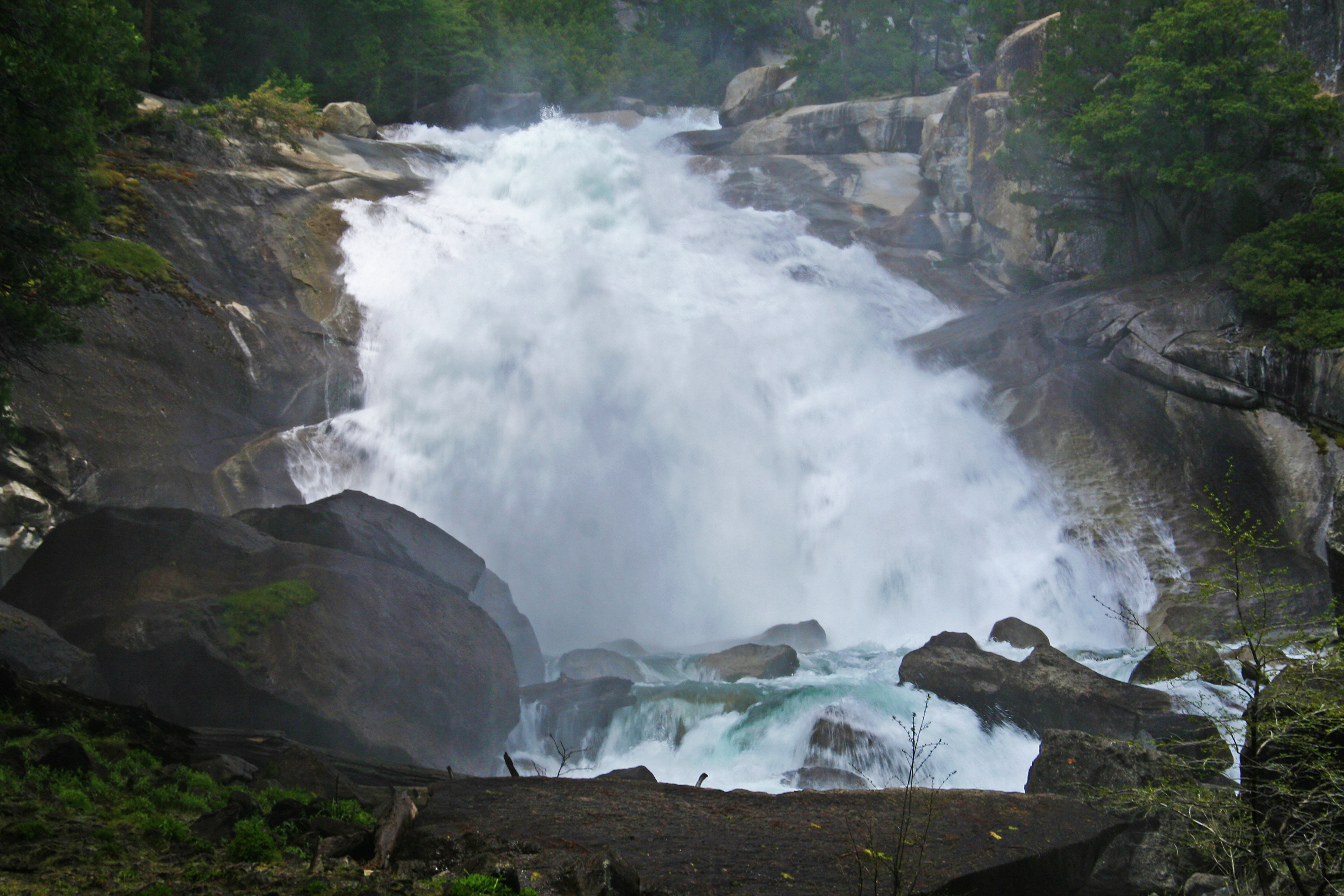 Mist FallsHiking4.2 mi
 Upper Copper Creek SwitchbacksHikingPhoto: Tom Hilton, CC BY 2.0 (via Flickr)4.4 mi
 Grouse LakeHikingPhoto: Tom Hilton, CC BY 2.0 (via Flickr)4.5 mi
- Roads EndRock climbing6.2 mi
 North BeachRock climbingPhoto: Tom Hilton, CC BY 2.0 (via Flickr)6.3 mi
- Northwest LotRock climbing6.4 mi
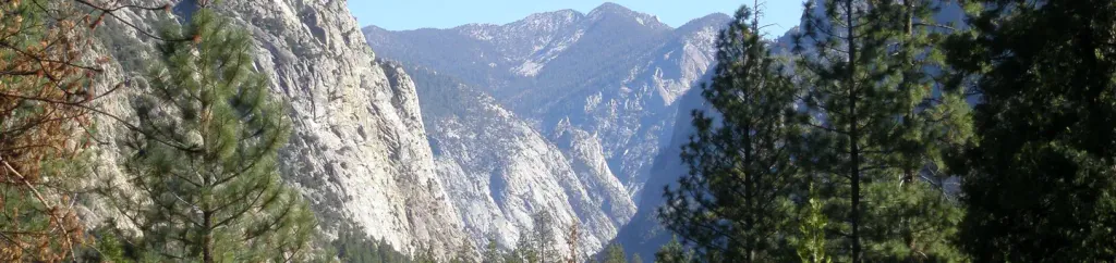 Canyon View Group SitesCampingPhoto: Recreation.gov (RIDB) / public domain10 mi
Source: Roamze catalog (indexable pages within 10 miles, PostGIS distance)
- Upper Copper Creek SwitchbacksHiking · ~8 min drivePhoto: Tom Hilton, CC BY 2.0 (via Flickr)
- Grouse LakeHiking · ~8 min drivePhoto: Tom Hilton, CC BY 2.0 (via Flickr)
 Gardiner Basin TrailHiking · ~8 min drivePhoto: Kurt Minard, CC BY-SA 3.0 (via Wikimedia Commons)
 Lower Copper Creek SwitchbacksHiking · ~11 min drivePhoto: lewinb, CC BY-SA 2.0 (via Flickr)
- Copper CreekHiking · ~11 min drive
 Granite LakeHiking · ~9 min drivePhoto: Tom Hilton, CC BY 2.0 (via Wikimedia Commons)
- Granite BasinHiking · ~8 min drivePhoto: Tom Hilton, CC BY 2.0 (via Flickr)
 Baxter PassHiking · ~11 min drivePhoto: Matt Lavin, CC BY-SA 2.0 (via Flickr)
- Mist FallsHiking · ~7 min drive
- Granite Pass NorthHiking · ~9 min drivePhoto: Tom Hilton, CC BY 2.0 (via Wikimedia Commons)
Also worth it near here
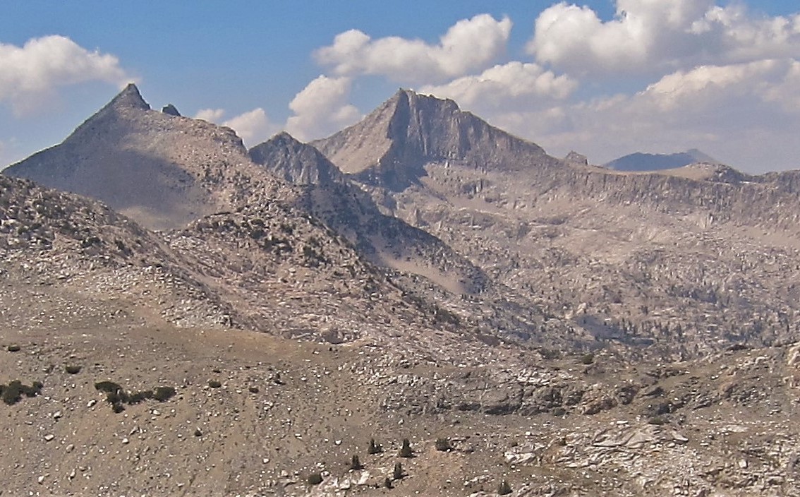 Mount Clarence KingSummit · ~8 min drivePhoto: Kirk Y., CC BY 2.0 (via Wikimedia Commons)
- State LakesLake fishing · ~9 min drive
- North BeachRock climbing · ~11 min drivePhoto: Tom Hilton, CC BY 2.0 (via Flickr)
 Roaring River FallsWaterfall · ~14 min drivePhoto: ogwen, CC BY-SA 3.0 (via Wikimedia Commons)
